
Wintry start to spring in southwestern Australia
A poorly timed cold front will deliver a blast of winter-like weather in southwestern Australia during the first two days of spring.
A cold front surging out of the Indian Ocean will hit the southwest corner of WA on Wednesday, delivering a burst of wind, rain and thunderstorms.
Showers, a few storms and gusty winds will then continue into Thursday as cold air spreads over the state's southwest, in the wake of the front.
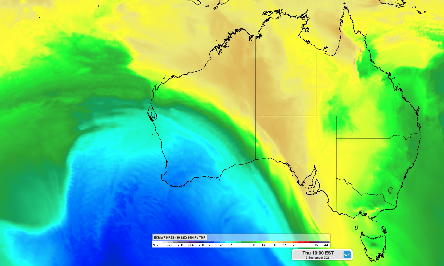
Image: Cold air over southwestern Australia on Thursday, in the wake of an early-spring cold front.
After reaching the low twenties on Tuesday ahead of the approaching cold front, Perth is only forecast to reach a top of 15ºC on Thursday, in the front's wake.
It could even get cold enough for small hail to fall in parts of the South West Land Division on Wednesday night into Thursday, and Bluff Knoll may see a dusting of snow on Thursday.
Stay up to date with the latest forecasts and warnings on Wednesday and Thursday if you live in southwestern Australia.