
Wild winter winds hit 156 km/h in Tas, 128 km/h on mainland
Numerous severe weather warnings for gales and and damaging and/or destructive winds are in place across four states and the ACT, as a strong cold front lashes Tasmania and southeastern parts of the continent.
Some of the sustained wind speeds and wind gusts recorded overnight on Tuesday into Wednesday morning have been remarkable:
TAS
- A 156 km/h wind gust at Mount Read, in northwestern Tas, at 5:08am Wednesday morning. This was the equal-highest gust on record (the site opened in 1996).
- A 143 km/h gust was recorded kunanyi/Mt Wellington, just above Hobart, at 8:48am.
- A 141 km/h gust occurred at Maatsuyker Island (on the southern tip of Tasmania and invariably one of the state’s windiest places in these sort of systems) at 7:37am today.
- A 137 km/h gust lashed Low Rocky Point, in southwest Tas, at 6:56am.
VIC
- A 128 km/h gust at the Victorian ski resort of Mount Buller, Vic, at 2:48am. Sustained winds of 96km/h were also reported there. All natural snow has now melted there and it’s still winter.
- A 124 km/h gust at Cape Otway, Vic, at 4:24am. The record is 137 km/h with data back to 1989.
- A 119 km/h gust at mainland Australia's southernmost weather station, Wilsons Prom (Vic), at 8:08am.
NSW
- A 128 km/h gust at Australia's highest weather station, Thredbo Top Station in NSW, just after midnight. Combined with temps that stayed above zero all night, this was devastating for the snow after a week that has already been warm, windy and wet.
- A 104 km/h gust at Port Kembla, in the city of Wollongong, an hour south of Sydney, just after 11 am.
- Sydney has experienced benign, unseasonably warm winter weather in recent days, but as the warmth ramps up this Wednesday, so too does the wind, with a gust of 82 km/h already reported at the airport just after 11am.
READ MORE: Snow season decimated by rain, warmth
The cold front has now moved through many of the areas mentioned, and the temperature drop plus heavy precipitation has brought the heaviest snowfalls of August 2024 to Tasmania – with insufficient air penetrating far enough north to generate mainland snowfalls at this stage.
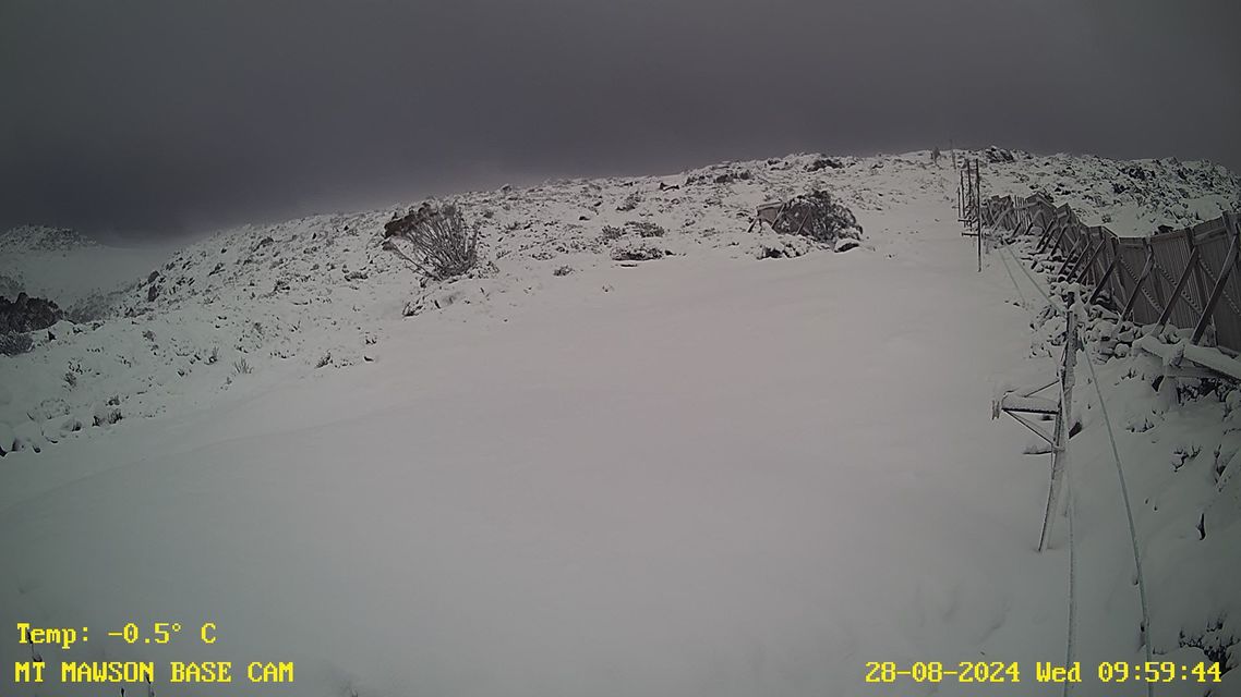
Source: Mt Mawson.
Normally after the passage of a cold front, winds tend to abate a little. However extremely strong winds have persisted as we head to lunchtime on Wednesday, due to the extreme pressure gradient between a colossal low pressure system near the fringes of Antarctica which is pushing against a ridge of high pressure above Australia.
As Weatherzone meteorologist Ben Domensino explained this week, the large, multi-centred low pressure complex has a central pressure below 940 hPa which makes it comparable to the strongest categories of tropical cyclones on the Australian scale.
Stupendous 935 hPa low pressure system south of Australia. pic.twitter.com/xmNa7NP5eh
— Andrew Miskelly (@andrewmiskelly) August 27, 2024
As you'd expect, multiple trees are down in several states, with the Victorian SES receiving more than 630 requests for help overnight, with around 500 relating to fallen trees and 90 for building damage.
So when will these winds die down?
Conditions will ease somewhat by Wednesday evening, before intensifying again on Friday and into the weekend as further fronts whip through southern parts of the country.
As ever, please check the latest warnings on our warnings page.