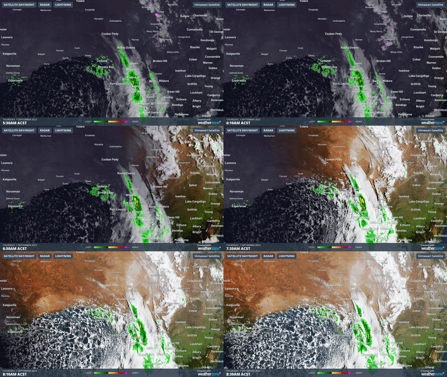
Wild stormy morning in Adelaide
As so often happens, Adelaide has been the first major population centre to cop the full force of the strong cold front tracking towards southeastern Australia, with heavy rain, storms, and strong winds on Thursday morning.
Barely a week after the warmest winter day in 14 years (with a top of 26.4°C on August 29), and a day after the mercury reached 23.8°C, Adelaide is heading for a Thursday high of just 15°C.

The front blew in from the west while most people would have been tucked up in bed dreaming of either a glorious Port Adelaide upset victory against the Brisbane Lions on Saturday night (or a humiliating loss if they are Adelaide Crows fans).
- At midnight, Adelaide was still a very balmy 20.2°C under northerly winds
- By 9 am it was just 11.4°C with rain and strong westerlies, meaning midday today will likely be at least five degrees colder than midnight
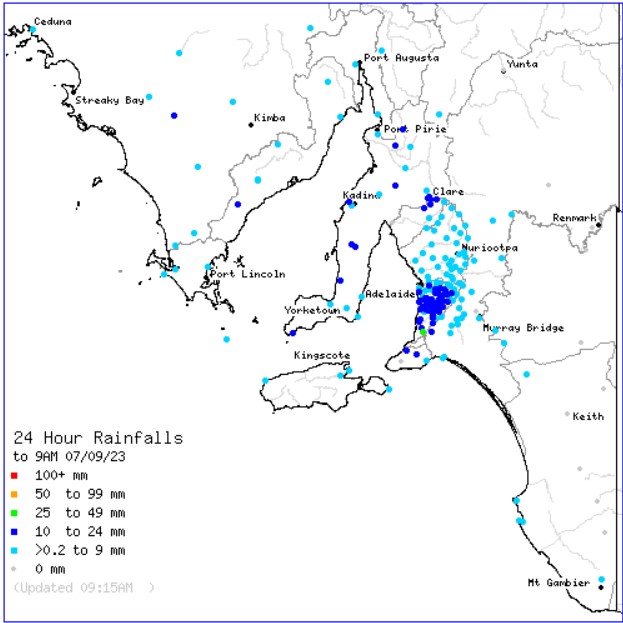
- A total of 13.4 mm of rainfall was recorded in the city, with heavier falls elsewhere in southeast SA, including 32 mm at Willunga.

Source: BoM.
The heaviest rain should pass through the city by mid morning, with areas east of the city in line for a good spring soaking. Friday's version of the map above (showing rainfall in the 24 hours to 9 am Thursday) should reveal plenty more blue and green dots across southeast SA.
For the rest of Thursday in Adelaide, you can expect the classic wintry pattern of brief showers whipping through the city, possibly heavy at times, with brisk southwesterly winds.
The weather won't totally clear until Saturday, with a string of cool nights ahead until a warming trend sets in as the new week gets underway.