
Where did my view go?
Have you ever looked out of the window in the morning and wondered what happened to those mountain views, that city skyline, or the other end of your street? During the cooler months, fog is a strong possibility as to why your usual view is now obscured – but what is it?
In its simplest definition, fog is simply a cloud at ground level. More specifically it is microscopic water droplets suspended in the air near to the surface of the earth, reducing visibility to less than 1000m.
There are several different types of fog, with different mechanisms of formation – the most common of which is radiation fog. Radiation fog is caused by radiational cooling overnight at and near the surface of the earth and requires a couple of key elements for its formation.
The first of these is high relative humidity, providing the moisture needed to form fog droplets. The second and third elements are calm-to-light winds and rapid cooling. Look out for surface high pressure systems as these generally bring light winds, in addition enhancing radiational cooling at the surface – tick to two of the key elements.
Clear skies are also an important factor in the formation of radiation fog. Cloud acts like a blanket, preventing long wave radiation from escaping to space and leading to a warmer surface. Warmer air can hold more moisture than cooler air and as such condensation is more unlikely to take place.
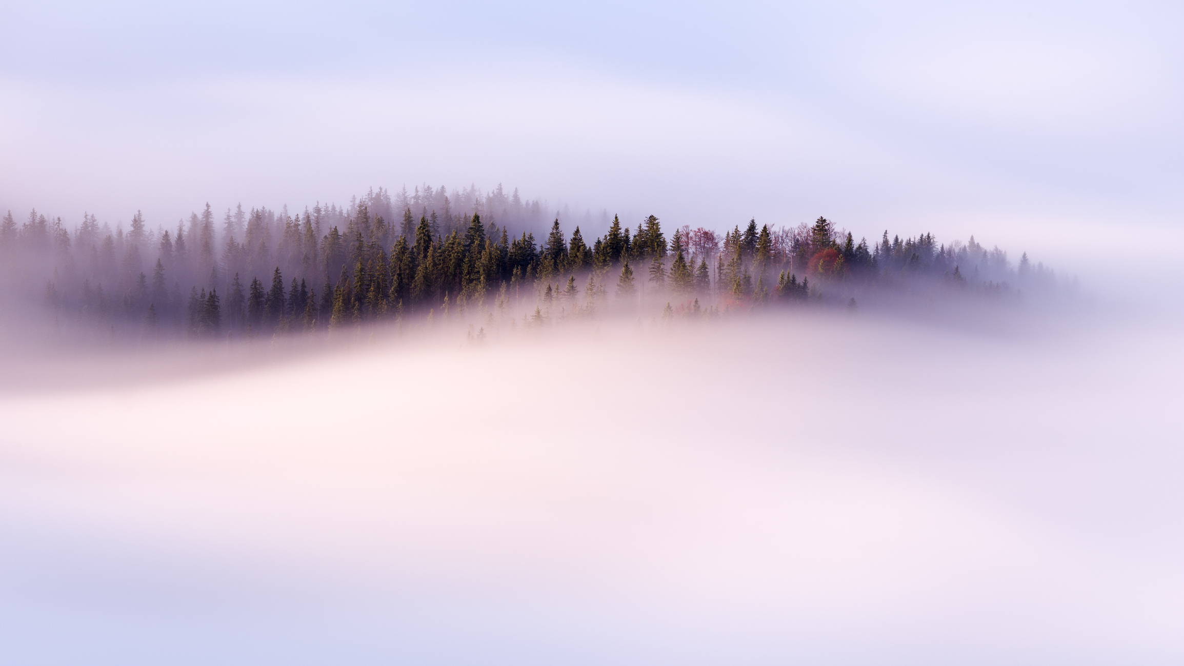
Image Source: iStock
So how exactly does radiational fog form?
As daytime heating ceases, the earth's surface and the layer of air just above it begins to cool via a process called conduction. If there is enough water vapour in the air, and sufficient cooling at the surface, this low-level air will reach saturation.
It should be noted here that air is a very poor conductor of heat and as such only a very shallow layer near the ground is cooled. This is where light winds come into play. A slight breeze will help mix the air a little, with cooler air then being distributed through a deeper layer.
As cooling continues near the surface, air will condense onto objects as water droplets (known as dew). If winds are too light, this is where the process ends, with only a few centimetres of the near surface air cooled sufficiently. Conversely, if winds are too strong, warmer, and drier air, is mixed down, effectively stopping any condensation taking place.
If cooling continues however, with just the right amount of wind, excess water vapour in the saturated layer just above the surface condenses, forming fog droplets. As radiational cooling continues the fog layer deepens and can reach a couple of metres deep.
Radiation fog is usually relatively short-lived once the sun rises. As the sun slowly warms the ground throughout the morning, it slowly warms the surface just above it, causing the water vapour (fog) to evaporate from the ground up.
Whilst it is common to hear the phrase "burning off" when referring to fog disappearing, it is more accurate to say it is dissipating.