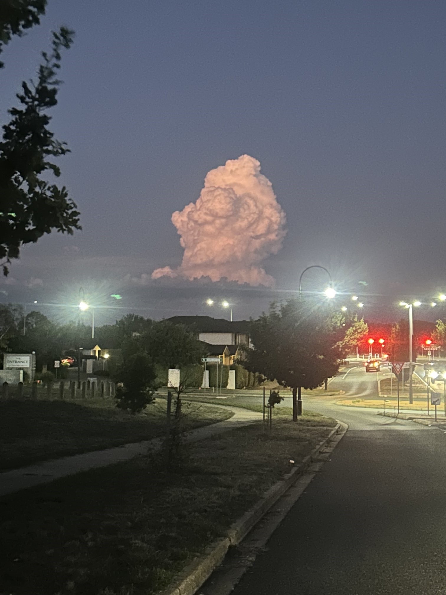
What's with this lonely towering cloud pillar?
It's all happening in the skies above Canberra lately. On the weekend, there was an outbreak of "virga" that contributed to wild weather just north of the city, while on Monday night, there was this.

Image: OK, who else feels like ice cream right now. Source: Marcus Kelson.
What exactly?
Well, it's obviously an isolated pillar of cloud, but there's actually a name for the type of cloud you can see above, and no, it's not a "Mr Whippy cloud".
According to Weatherzone meteorologist Ben Domensino, it’s a "lone cumulus congested cloud", or cumulus congestus to use its technical name. These towering clouds occur when moisture-laden air is forced to rise and cool. This causes condensation to occur, producing a column.
But why just one column? Why were there not towers of clouds all over the place in the vicinity of the nation’s capital last night?
For there to be only one like that, Ben says you would likely need a single point where winds are converging from different directions, and possibly some sort of hill or mountain to help initiate the lift.

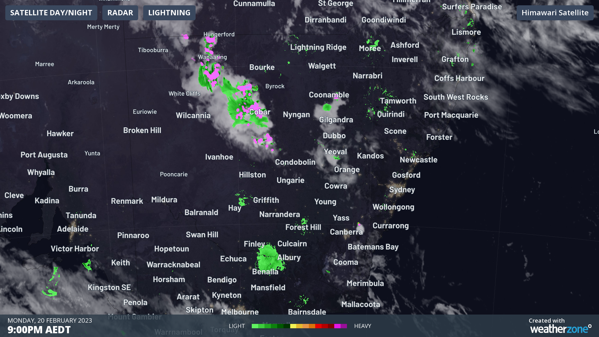
The Canberra region is obviously not short of those sort of topographical features, and if you look closely at the image above, it appears that the lone storm was northeast of the city in the Lake George area. This is well known as an area of converging winds.
Meanwhile the towering cumulus congested cloud soon grew into a cumulonimbus cloud that produced lightning.
On a clear night in #Canberra, with not a cloud in our sky, way to the north near #Binalong is a small but spectacular thunderstorm easily visible from the #ACT. #weather @BOM_au #thunderstorm #CBR pic.twitter.com/qHu8ifIDRs
— Andrew Messenger (@AndrewMessenge2) February 20, 2023
Later in the evening, it changed shape to the classic thunderstorm "anvil cloud".
This huge, spectacular form of cloud occurs when the warm updraft reaches the bottom of the stratosphere, having cooled to the point where it can no longer rise any further. The air suddenly loses its buoyancy, hits an invisible ceiling, and spreads out.
Bit of a light show to the North of Canberra this evening.
— Timothy Dean Photographer (@TimothyDeanAU) February 20, 2023
Old Well Station Road, Kenny.
Monday 20th Feburary 2023 9pm
Licensing available via @SevereWeatherAU pic.twitter.com/5K0FU4A3bY
There were bigger and much more damaging storms in Australia’s tropics last night, but this particular event seemed to capture a city’s attention, so we thought we’d let you know what went down. Or in this case, what went up.