What is a shelf cloud?
Thunderstorms in Australia often produce mesmerising shelf clouds. But what exactly is a shelf cloud, how do they form, and just how dangerous are they?
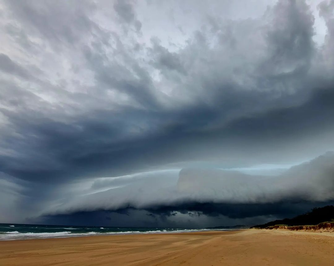
Shelf clouds are, as the name suggests, large shelf-like clouds that usually form at the leading edge of a thunderstorm or along the boundary of a cold front.

Image: Shelf cloud passing over the Sunshine Coast on November 27, 2022. Source: @craigslaneyphotography / Instagram
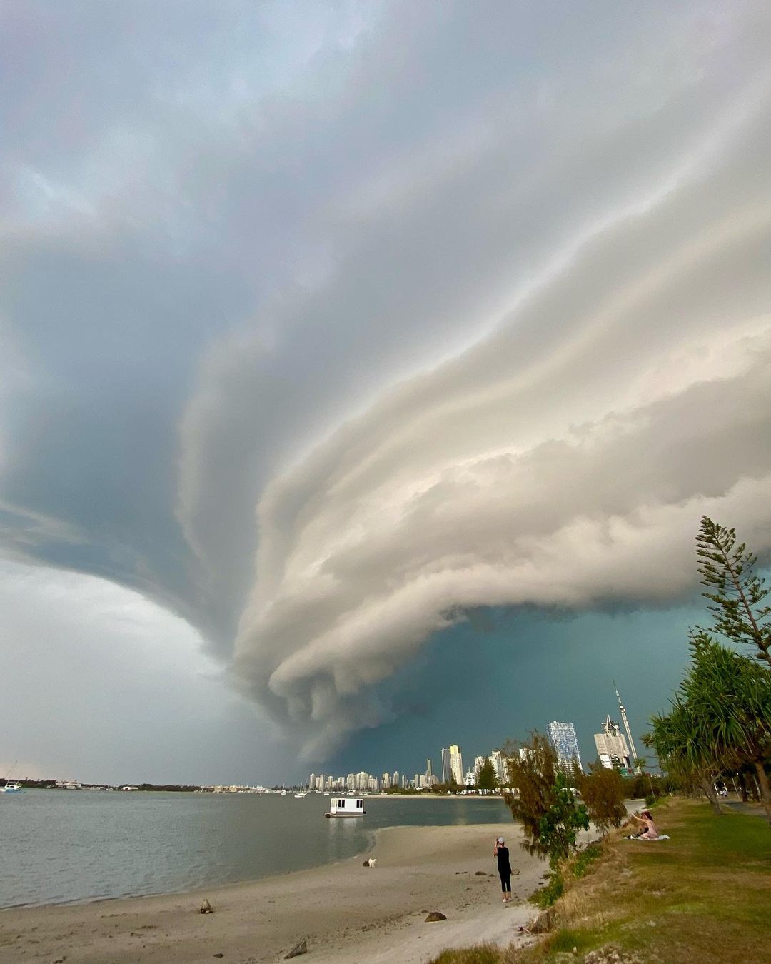
Technically called arcus clouds, shelf clouds usually appear as a broad arc across the sky that can sometimes appear to be rotating horizontally.

Image: A large shelf cloud sweeping over the Gold Coast in southeast Qld on November 28, 2022. Source: @jenneal100 / Instagram
Shelf clouds form when cold and dense air is forced into a warmer air mass by wind. This rush of cold air often occurs in a thunderstorm’s downdraught, where cold air rushes towards the ground before spreading out to create a gust front.

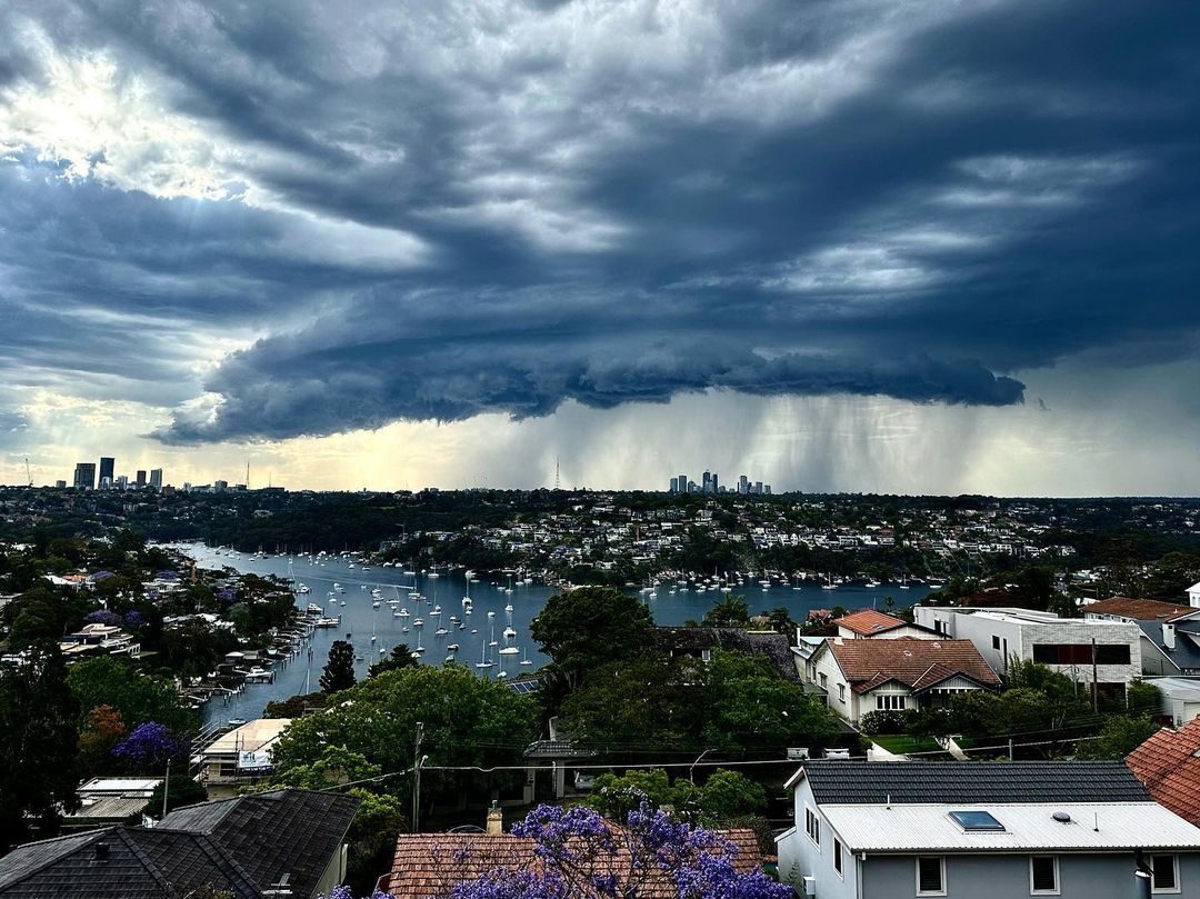
Image: A ragged shelf cloud producing showers over the Sydney on November 27, 2022. Source: @ihaig72sydney / Instagram
Shelf clouds produced by thunderstorms are always preceded by a rush of dry and cold air ahead of the cloud, with rain arriving after the shelf cloud has passed overhead.
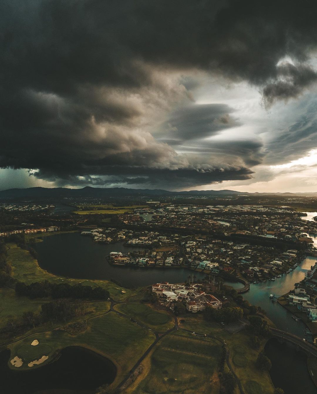
While shelf clouds don’t usually won’t cause severe weather themselves, those associated with severe thunderstorms or squall lines can come with damaging straight-line winds. These storms may also bring heavy rain and large hail.

Image: A dark and distant shelf cloud above the Gold Coast on November 28, 2022. Source: @mel.k.campbell / Instagram
If you see a shelf cloud, it’s best to briefly enjoy the view while the cloud is still in the distance and find shelter before it gets too close.