
Wettest July day in a decade cuts off roads in NSW, Vic and Qld
Monday was another wet day for inland parts of eastern Australia, with several towns recording their largest rain totals in 14 years.
This comes after parts of eastern Australia saw heavy rainfall over the weekend, with Menindee in far western NSW recording its wettest July day in 138 years in the 24 hours to 9am Monday, July 8.
The wet weather is being driven by a low pressure trough over the region and a northwest cloudband.
The heaviest falls on Monday and early Tuesday occurred in the North Western Slopes in NSW, southern Qld and northern Vic, as the trough and associated rainband moved across the regions.
The largest totals across NSW, Vic and Qld in the 24 hours to 9am on Tuesday, July 9 were:
- Quirindi and Gunnedah, NSW recorded their wettest July day in 14 years, with 31mm and 30mm falling in the gauges respectively
- Moree, Inverell and Mungindi, NSW recorded 23.6mm, 45mm and 24mm respectively, the most July rain the sites have seen in 12 years.
- Rutherglen, Vic saw its wettest July day in 11 years, with 23mm observed.
- Wangaratta, Vic recorded 19.2mm and its wettest July day in 9 years
- St George, Qld had its wettest July day in 3 years, with 25.2mm falling in the gauge.
The heavy rainfall that has fallen in outback areas of NSW, Qld and Vic over the past few days has led to road closures in the area, due to water over the road.
The blue dots in the image below show that many roads across these areas are closed due to water lying over them.
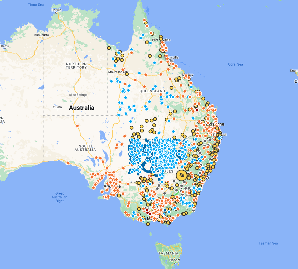
Image: Live Traffic NSW showing road closures and delays due to water on the roads. Source: Live Traffic NSW
The satellite image below shows that thick cloud and rain is still impacting parts of Qld, NSW, the ACT and Vic on Tuesday morning.
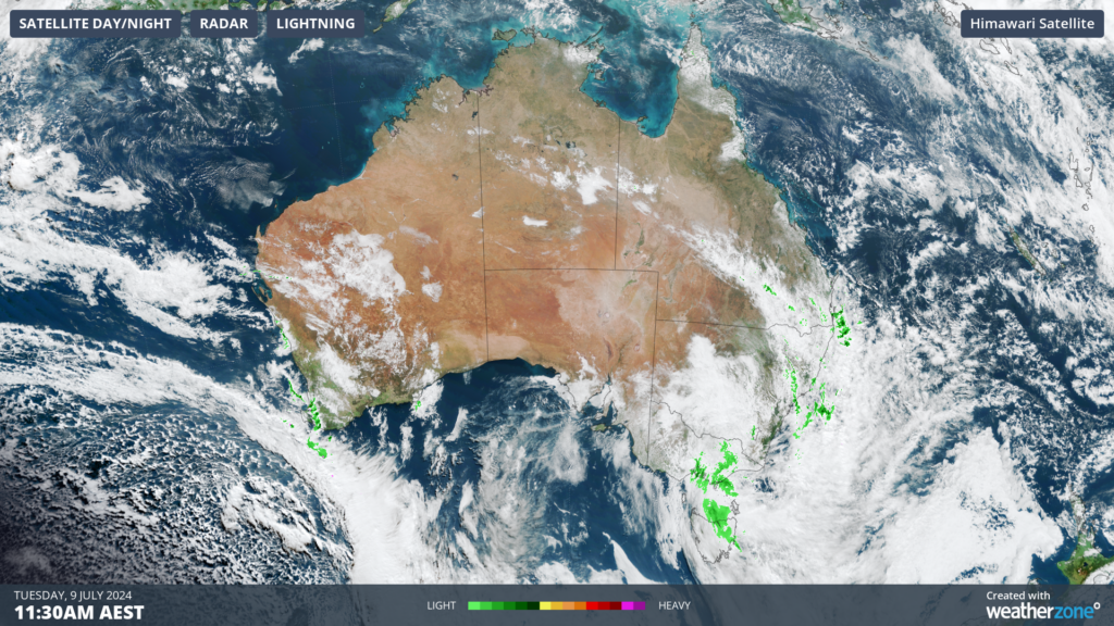
Image: Himawari-9 satellite image at 11:30am on Tuesday, July 9
Rain is set to continue on Tuesday, with the low pressure trough extending through several states and territories.
However, Tuesday’s rainfall totals will not be as large as what has fallen in the past couple of days, with widespread falls of 10 to 20 mm forecast and isolated totals of around 20 to 30 mm.
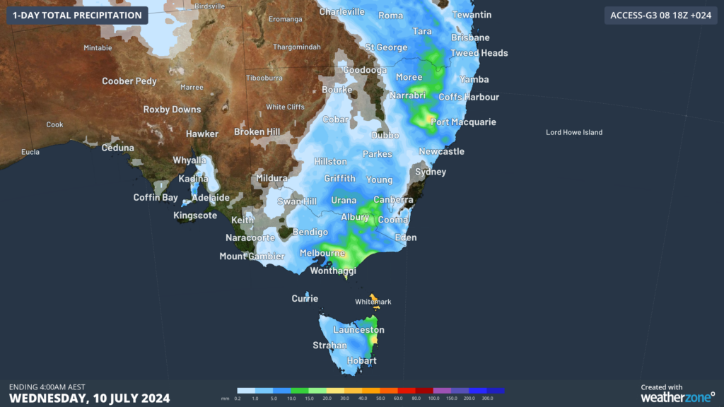
Image: Accumulated rainfall for the 24 hours leading up to 4am on Wednesday, July 10, according to Access-G.
Looking ahead, the trough and associated rainband and cloud will drift off over the Tasman Sea on Wednesday, easing rain in the regions.