Waterfalls on Uluru as outback storms soak central Australia
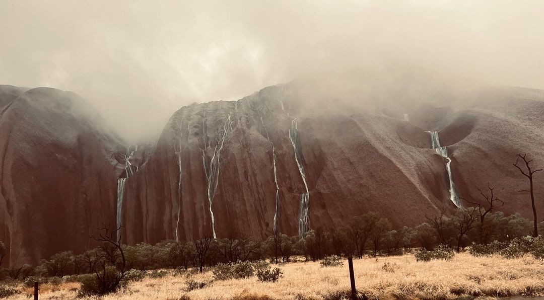
Rain and thunderstorms have drenched parts of central Australia in the last couple of days, causing waterfalls to cascade down the sides of Uluru following the monolith’s best September rain on record.
A surge of tropical moisture interacting with an upper-level trough is causing widespread rain and storms over Australia this week.

Image: Waterfalls on Uluru on Monday, September 23, 2024. Source: @janetswainsongs / Instragram
On Monday, lightning started flashing above central Australia as moisture from the Indian Ocean fuelled a flurry of thunderstorms in the Red Centre.
A weather station at Yulara Airport, near Uluru, received 31.6 mm of rain in the 24 hours to 9am on Tuesday. This was the site’s heaviest September rain in records dating back to the 1980s.
Video: A rare sight after heavy rain in central Australia. Source: @rachelcrowley_ / Instagram
Another weather station at Curtain Springs picked up 33.4 mm in the 24 hours to 9am on Tuesday. This was also a new September daily record, with data at this site going back to 1953.
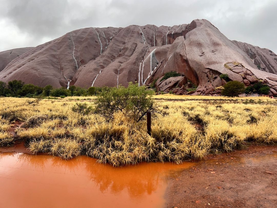
The unseasonably heavy rain caused waterfalls to flow down the sides of Uluru, a spectacle that only happens a handful of times in any given year.

Images: Waterfalls on Uluru on Monday, September 23, 2024. Source: @izzalmn / Instragram
Similar scenes occurred on Uluru during heavy rain in June and January last year.
Showers and thunderstorms will continue over central Australia on Tuesday and Wednesday before drier conditions return from Thursday. However, there might be another round of Red Centre thunderstorms on the weekend as a low pressure trough drifts over central Australia.