
Watch desert floodwaters gushing towards Lake Eyre
Spectacular animated satellite imagery shows the movement of floodwaters from outback Queensland towards South Australia, with the waters bound for the normally dry Kati Thanda–Lake Eyre.
At the start of the video loop when just two waterways are showing, waters can be clearly seen flowing down Cooper Creek (to the east) and the Diamantina River (to the west) where major flooding is currently occurring in the vicinity of the iconic outpost of Birdsville.
Image: Floodwaters (in blue) flowing through southwest Queensland towards South Australia. Note that the blue colour is enhanced.
As the video pans out, others rivers can be seen in flood, including the Georgina – the third major river of Queensland’s Channel Country.
READ MORE: Normally dry creek now 60 km wide
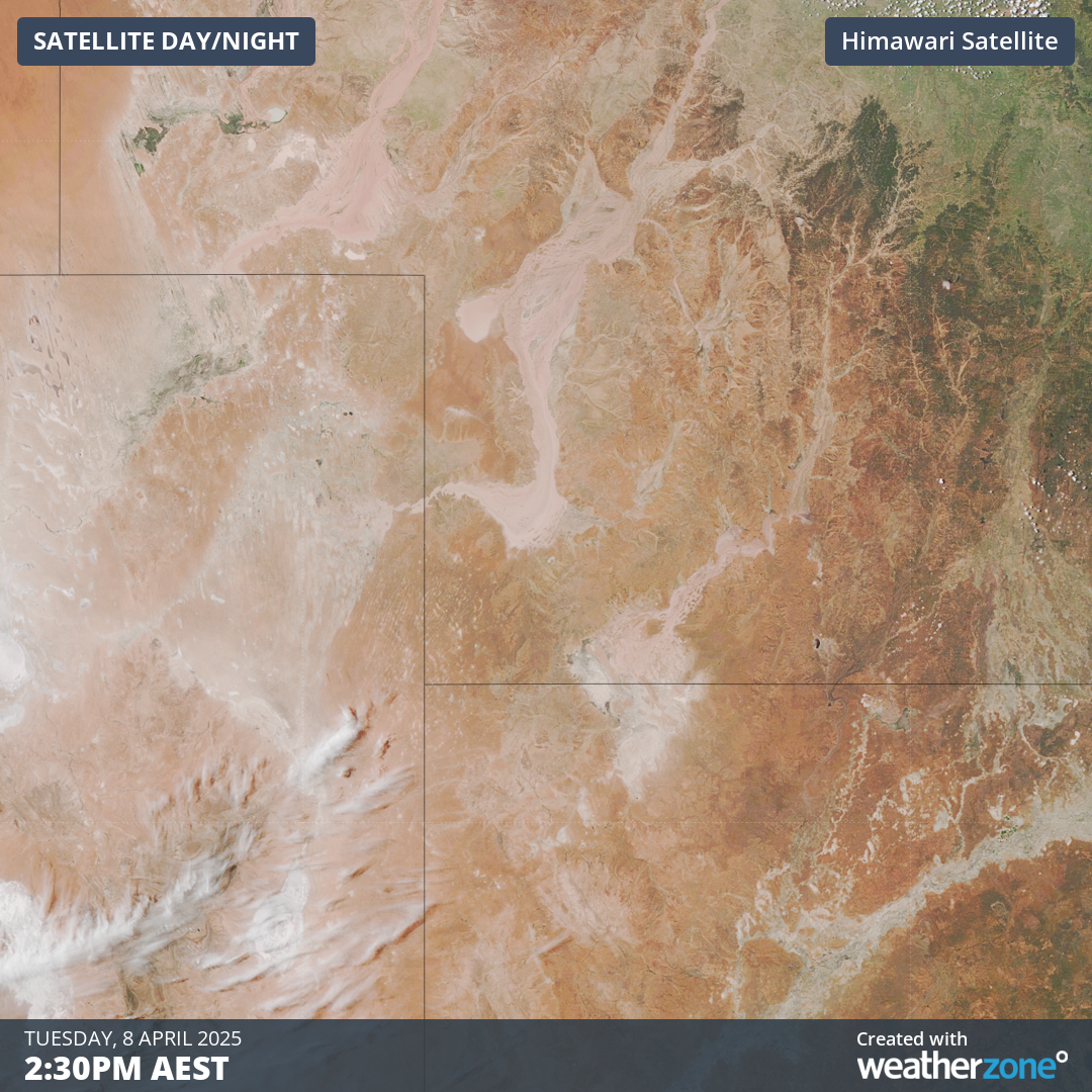
Image: Satellite image of floodwaters in SW Queensland heading towards South Australia shown in true colour, with the water taking on the colour of the soil around it.
How much water will enter the lake?
Kati Thanda–Lake Eyre contains Australia’s lowest point at approximately 15 metres below sea level. It is an "endorheic" basin, which means it has no outflow. Water is expected to enter the lake from mid-to-late April, and will stay there until it evaporates.
Because the current influx is occurring in mid-autumn, evaporation will be minimised due to shorter days and lower temperatures in late autumn and the winter months. Potentially, the lake could remain full for many months. That’s what tourism operators like Australian Air Safaris are counting on.
The highest recorded flood in Kati Thanda–Lake Eyre was in 1974, when the water was up to six metres deep.
As Weatherzone meteorologist Ben Domensino points out, Tuesday morning’s river level of 8.5 metres in Birdsville made it one of the town’s highest flood peaks in recent decades, but not quite as high as the 1974 flood that peaked above 9.4 metres.
So while the current inflow is not quite record-breaking, it’s still historically significant after record-breaking Queensland rain in March caused by tropical moisture being funnelled inland.
If you’re one of those people who finds it hard to envisage the scale of things in Australia’s vast outback, here's a to-scale map of the British Isles over the relevant area.
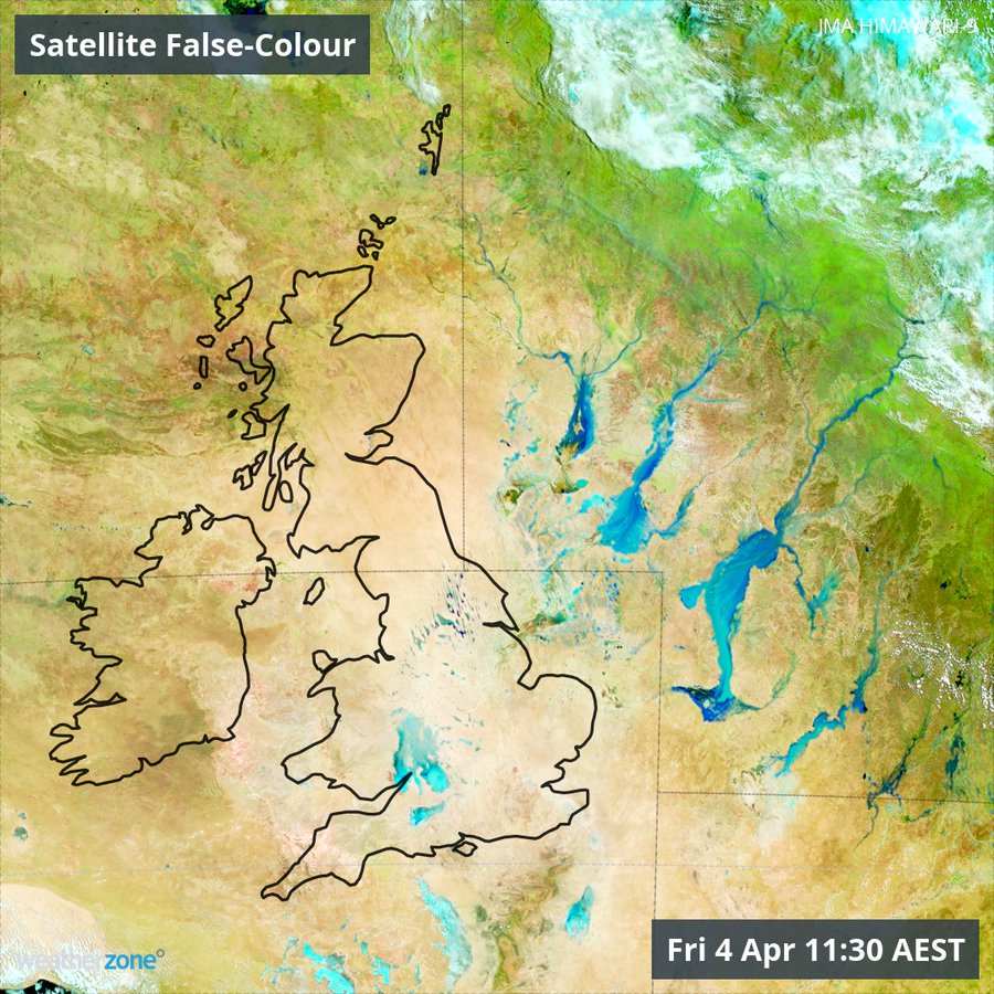
Image: Floodwaters in SW Qld compared to the size of the British Isles.
READ MORE: Rare sight as the whole of Queensland covered in cloud