
Unseasonal Heavy Rainfall Hits Northern Australia
A broad trough of low pressure has deepened over the Kimberley and Pilbara regions, extending through to the Northern Territory, bring showers, thunderstorms, and unseasonal heavy rainfall.
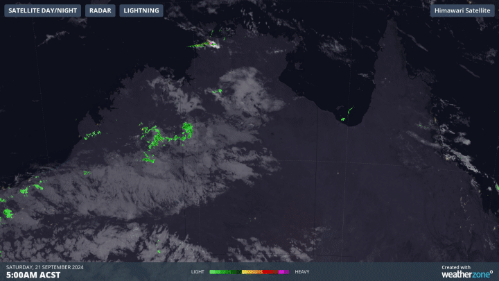
Image: Satellite image.
In Noonamah, located 45 km southeast of Darwin CBD, an impressive 54mm of rain was recorded in the last 24 hours, being that most of which failing in an hour. This is three times the average monthly rainfall for September and marks the highest 24-hour rainfall in September in the past 15 years. The town has not experienced such heavy September rainfall since 2013, with the accumulated rainfall now at 92.8 mm, more than five times the monthly average.
As meteorologist Ben Domensino told in this story, rain and thunderstorms are expected to increase over northern Western Australia and western Northern Territory this weekend as tropical moisture feeds into the deepening low-pressure area.
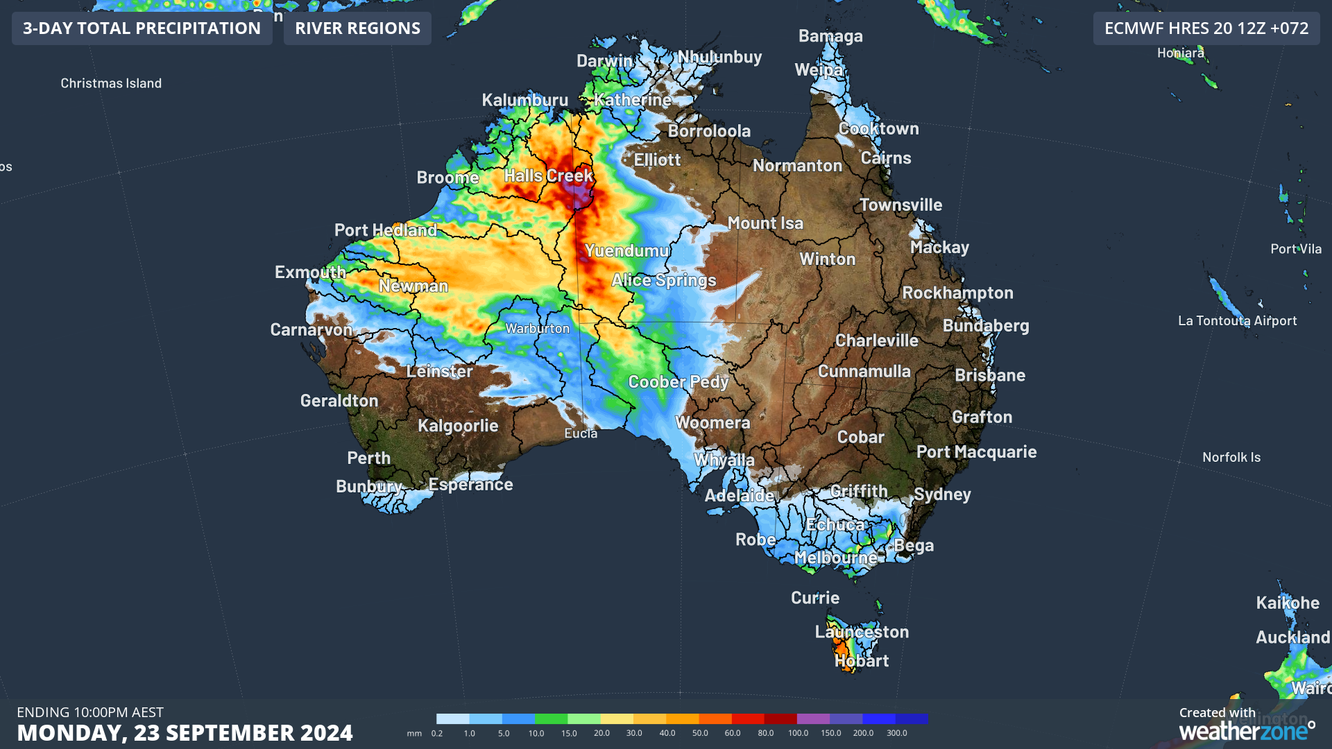
Image: 3-day total precipitation until Monday, 23 September 2024. Source: ECMWF
From Sunday evening, unseasonal moderate to heavy falls are anticipated in northern WA and northwest NT. Forecasts predict widespread rainfall totals of 30-60 mm on Sunday, 30-100 mm on Monday, and 10-40 mm on Tuesday, with isolated daily falls exceeding 100 mm possible on Sunday and Monday.
These conditions may lead to significant stream level rises, localised flooding, and overland inundation, potentially affecting road access and isolating some communities.
Stay updated here with the latest warnings and advisories to ensure safety.