Tropical cyclone risk increasing for Gulf of Carpentaria
Communities surrounding the Gulf of Carpentaria should prepare for the development of a tropical cyclone this weekend or early next week.
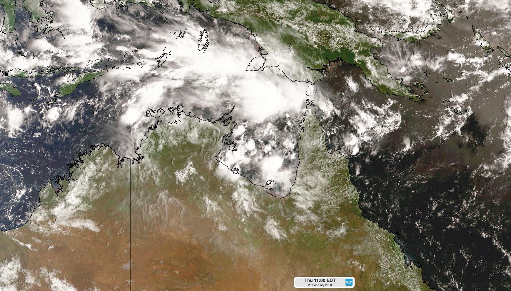
A tropical low is likely to develop over the Gulf of Carpentaria on Thursday or Friday as a monsoon trough develops over northeastern Australia. This low is expected to consolidate on the weekend, increasing the likelihood that it will become a tropical cyclone on Sunday or Monday.

Image: Cloud building over the Gulf of Carpentaria on Thursday.
While tropical cyclones can be notoriously difficult to predict ahead of time, conditions will be ripe for a tropical cyclone to develop over the Gulf from this weekend.
Tropical cyclones thrive over warm water and in an atmosphere that doesn’t get too windy with height (also called wind shear).
Sea surface temperatures are currently 31-32 degrees Celsius in the Gulf of Carpentaria, which is a couple of degrees above average for this time of year and more than warm enough to fuel a tropical cyclone. Above the ocean, the wind profile of the atmosphere is also favourable for cyclone development, with low vertical wind shear.

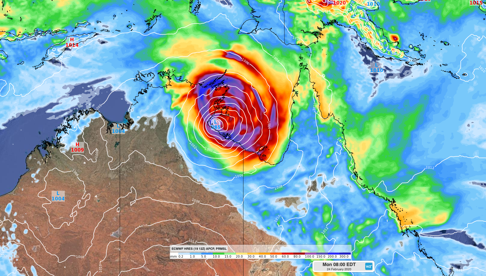
Image: Forecast accumulated 24-hour rianfall and mean sea level pressure on Monday morning, according to the ECMWF-HRES model.
A number of forecast models suggest that the prospective tropical cyclone will be slow-moving this weekend, before moving towards the west or southwest from Sunday into next week. This means the Northern Territory could see tropical cyclone impacts early next week, possibly including damaging to destructive winds, heavy rain, severe thunderstorms and a storm surge.
This is a developing situation and forecasts may flip around from day to day. Visit http://www.bom.gov.au/cyclone for the latest tropical cyclone information and go over your cyclone plan now if you live in northern Australia.
The next tropical cyclone to be named in Australian waters will be named Esther.