Tropical Cyclone Anggrek to enter Australian region
A tropical cyclone watch has been issued for the Cocos (Keeling) Islands as Tropical Cyclone Anggrek gains strength while approaching Australia’s area of responsibility.
Anggrek formed on Monday evening over the Indian Ocean, close to 500 km northwest of the Cocos (Keeling) Islands. As it developed outside the northwest boundary of Australia’s area of responsibility, it was named by the Jakarta Tropical Cyclone Warning Centre.
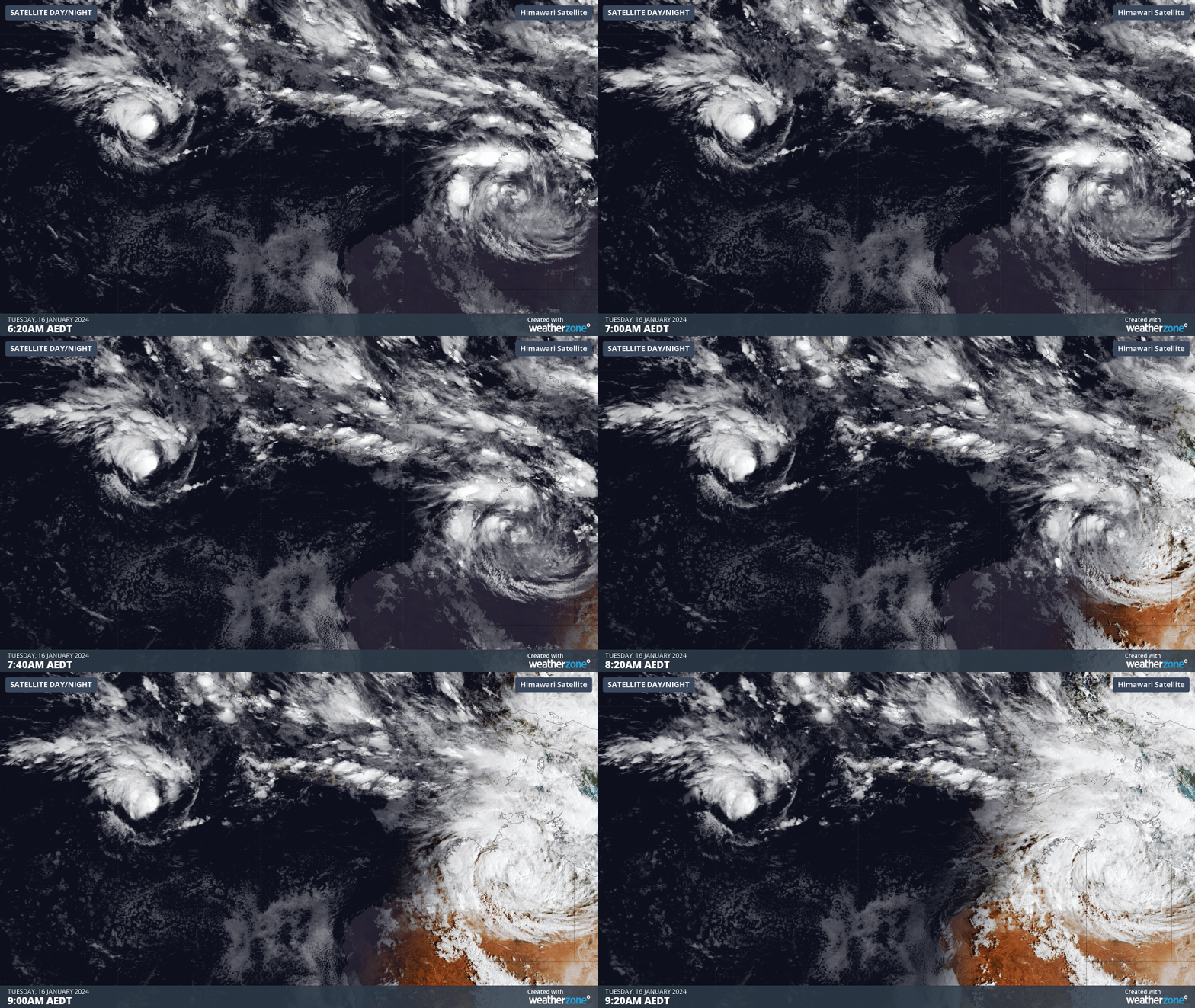
At 2am AWST on Tuesday, Tropical Cyclone Anggrek was a category one system located about 450 km northwest to the Cocos (Keeling) Islands. It is expected to gain strength over the next 48 hours as it drifts south.

Image: Satellite images showing Tropical Cyclone Anggrek located over the Indian Ocean to the northwest of Austarlia on Tuesday morning.
Based on current forecasts, Anggrek should become a category two tropical cyclone by Wednesday before drifting towards the south and entering Australia’s area of responsibility. The system will retain the name Anggrek when it crosses into the Australian region.
Tropical Cyclone Anggrek is expected to stay to the west of the Cocos (Keeling) Islands as it tracks towards the south between Wednesday and the weekend. However, there may still be an increase in wind and rain as the system passes by, which has prompted the Bureau of Meteorology to issue a cyclone watch for the Cocos (Keeling) Islands.
Anggrek will be the second tropical cyclone in the Australian regions so far this season, joining Jasper, which hit Northern Qld in December.
Meanwhile, there is growing potential for another tropical cyclone to form on the other side of Australia later this week.
A weak tropical low is expected to form over the Coral Sea today before moving towards the east during the second half of this week. Some models suggest this low will gain strength over the warm Coral Sea, with a moderate change of tropical cyclone development from Sunday into early next week.
At this stage, this system is unlikely to have any direct impact on the Australian mainland during the next seven days. However, there are early signs that it may track back towards Australia's east coast mid-to-late next week. This will be a system to keep a close eye on over the coming week.