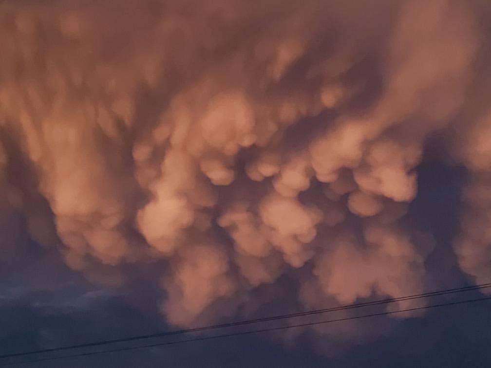
The fascinating and slightly saucy story behind these mammatus clouds
These stunning mammatus clouds were snapped this morning hovering above Rockhampton, Queensland.
But what exactly are mammatus clouds, how do they form, and intriguingly, what is the origin of their unusual name?

Image: Source: @aisjamstudio on Instagram.
Firstly, let's deal with the what...
Mammatus clouds are most commonly associated with thunderstorms. They're the small "pockets" that seem to be hanging underneath the main cloud mass above.
Sometimes the pockets are a little rough around the edges, as with the picture above, and sometimes they're a lot smoother and rounder, as you can see in some of the images further down this story.
An incredible photo taken a few days ago in Texas. A severe thunderstorm on the left, and rare mammatus clouds at sunset on the right.
— Khai (@ThamKhaiMeng) June 24, 2021
Photo by Yannick Devesvre pic.twitter.com/rJn9EeU9vQ
And as for the how...
Mammatus cloud is formed in sinking air, most commonly in downdrafts at the trailing edge of a thunderstorm or large cumulonimbus cloud. The Bureau of Meterology explained this quite well recently in a post about the science behind clouds.
The short version is that when air in the storm cloud descends, the water in that air evaporates. Under the right atmospheric conditions, this evaporation results in an increased downward movement of air, which effectively drags the cloud down.
That's why you get the saggy pockets underneath the cloud. They're basically parcels of cold air.
Mammatus clouds and a min rainbow 🌈 near Big Creek Lake today! 📸 Laurel Boothe pic.twitter.com/L7owM7gpgF
— Thomas Geboy (@ThomasGeboyWX) June 24, 2021
The name! Tell me about the name!
OK, so in Latin, "mamma" means udders or breasts. So mammatus clouds are so-named because they basically resemble giant cow udders in the sky. Or as one meteorologist who shall go un-named said, "they're sky boobs".
Which is probably a phrase you didn't expect on this site today!
📸 Fun surprise at the office today! Strong thunderstorms this afternoon produced what’s called mammatus clouds over our radar. These clouds typically form on the edge of strong thunderstorms where sinking air causes the pouch like look. #mobwx pic.twitter.com/7VweQD6exd
— NWS Mobile (@NWSMobile) June 22, 2021
The bottom line is that any time there's thunderstorm activity in your area, mammatus clouds are a possibility of forming, and of course, they're always worth photographing and sharing with us here at Weatherzone! Just use the hashtag #weatherzone in all your posts.