
The cool clouds of northern Australia
Australia’s northern tropics are home to some of the world’s most famous and visually striking cloud formations, from the ‘morning glory’ near the Gulf of Carpentaria to Hector the Convector above the Tiwi Islands.
Earlier this week, a thunderstorm passing over Darwin produced a well-defined shelf cloud and a rainbow at the same time. We are unofficially calling this one ‘shelf-bow’ and sincerely thank local photographer Damon Wagland for sharing it with us.
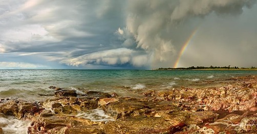
Image: A shelf cloud and rainbow accompany a thunderstorm passing over Darwin, seen here from the Nightcliff Foreshore. Source: @dundeedamo / Instagram
Another awe-inspiring thunderstorm was captured over the northern coast of WA earlier this week as a cumulonimbus cloud towered over Broome. The anvil-shaped top of the cloud is caused by rising air being forced to spread out when it reaches the top of the troposphere.
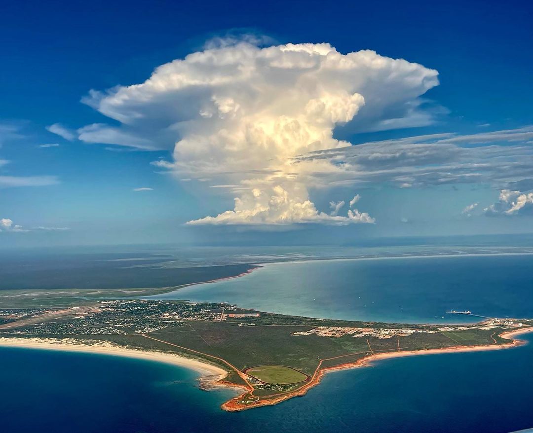
Image: A sky mushroom seen from an aeroplane near Broome earlier this week. Source: @kellie_butler_photography / Instagram
In addition to the two clouds above, which were seen this week, northern Australia also has some other cloud formations that are famous around the world.
Hector the Convector is a cumulonimbus (thunderstorm) cloud that develops over the Northern Territory's Tiwi Islands.
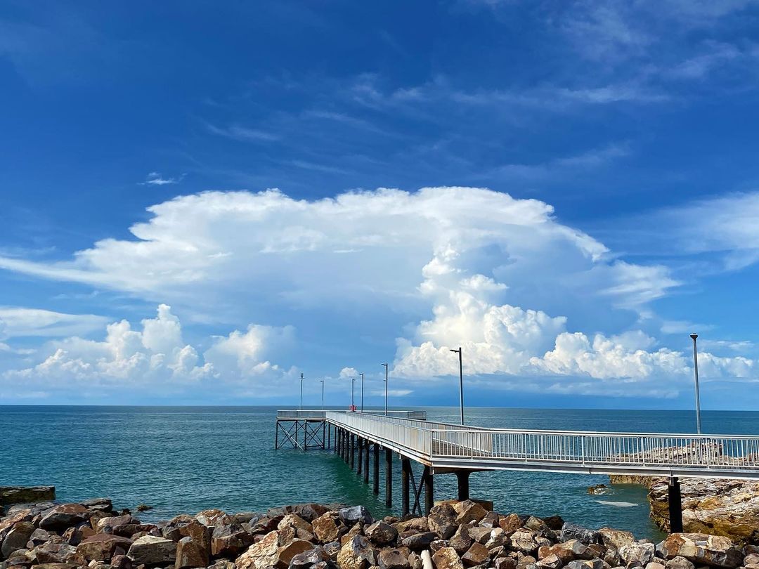
Image: Hector the Convector in December 2020. Source: @weather_watcher_australia / Instagram
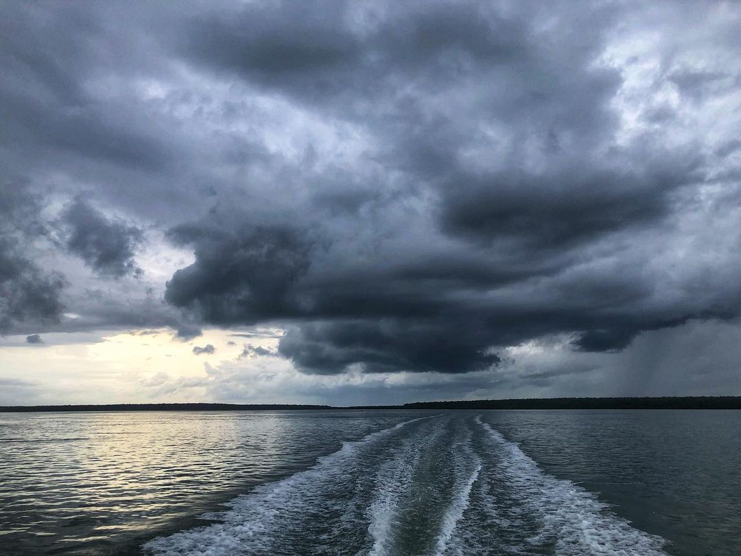
Image: Hector the Convector in February 2022. Source: @dackyandjules / Instagram
Hector is an extremely reliable cloud, forming at roughly the same time on almost every afternoon of the wet season. Hector forms when sea breezes develop over the Tiwi Islands from all sides and meet over the mountains in the middle. These converging sea breezes clash and start to rise, causing Hector, which can often reach about 20 kilometres into the atmosphere. Hector was named by pilots and mariners who used the cloud as a point of reference during World War II.
Another frequent and well-known cloud that forms over northern Australia is the ‘morning glory’ cloud. This tube-shaped roll cloud develops when sea breezes clash over Cape York Peninsula, creating a roll cloud that typically drifts over the Gulf of Carpentaria and northern Queensland. Glider pilots have been known to ride the rising air currents at the leading edge of this large roll cloud.
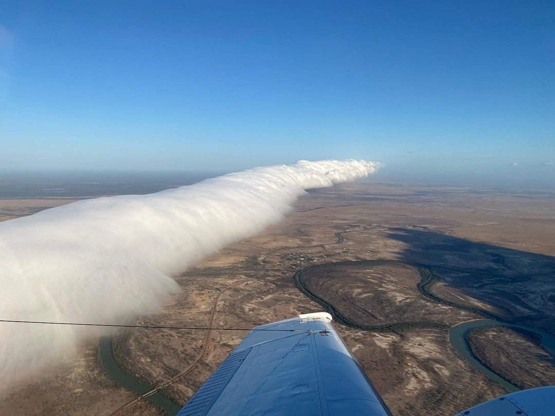
A top-down view of the morning glory cloud near Burketown in northern Queensland in October 2020. Source: @weatherbywill / Instagram