Sydney's wettest four days in 30 years boosts water storages
Sydney received a third of its annual rainfall during the last four days as the heaviest rain in 30 years inundated the city.
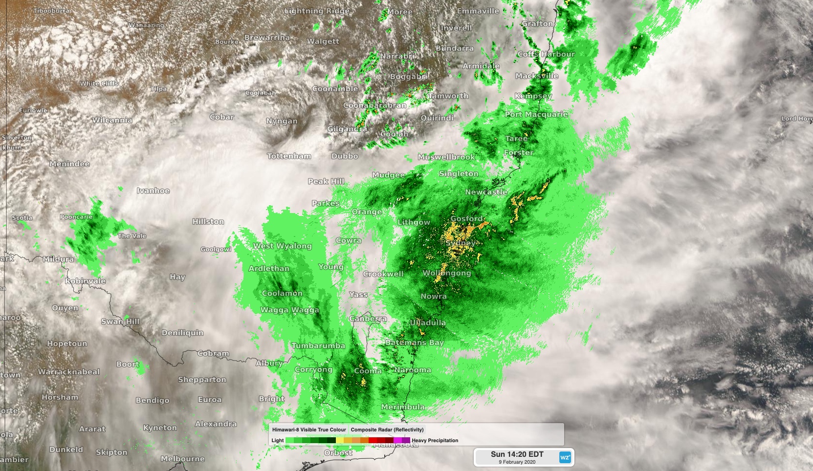
Moisture-laden air feeding into a slow-moving upper-level trough produced days of heavy rain in eastern NSW during the second half of last week.
Widespread falls of 200-400mm were recorded east of the Great Dividing Range from southeast Queensland down to southern NSW between Thursday and Sunday.
In Sydney, the rain gauge at Observatory Hill received 391.6mm during the 96 hours between 9am Thursday and 9am Monday. This was the city's highest four-day total since 1990. The final 24 hours of this period saw 176mm fall in the city, which is also its highest daily total in 30 years.

Image: Cloud and rain over NSW on Sunday afternoon.
South of Sydney, a rain gauge located at Robertson in the Kangaroo Valley received a whopping 698mm during the 96 hours ending at 9am on Monday. This was its highest four-day total since 1991.
According to data on the Water NSW website, the Greater Sydney water storage level had reached 63.6 percent of its capacity by Monday morning. This is a 21.7 percent increase from the same time last week and the highest level since September 2018.
This multi-day deluge has caused widespread flooding and prompted evacuations in some areas, including parts of Sydney. By Monday morning, major flooding had been recorded on the Nepean, Hawkesbury, Georges and Colo Rivers.
While rain has now eased in Sydney, heavy falls will continue over the southern coast and adjacent ranges in NSW and far eastern Victoria on Monday. Severe weather warnings and flood watches have been issued in these regions.