Summer heat to arrive in Perth
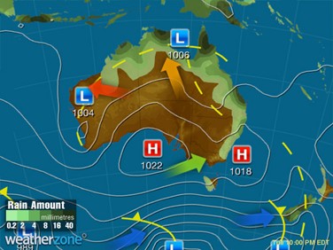
Spring is set to end with a run of hot days across western parts of Western Australia, as a heat trough drags hot air into the west of the state. Temperatures are expected to begin ramping up as early as Monday for the Midwest, and Tuesday for the southwestern districts, including for Perth.

Image: Synoptic chart for Tue 28th, showing a trough dragging hot air over western WA
At the time of writing, on the afternoon of Sat 26th, the forecast maximum for Perth is 30°C on Monday, increasing to 37°C on Tuesday and back towards 35°C on Wednesday. Summer will start much cooler however, with temperatures in the mid-20s for the remainder of the week, as the trough moves inland and southerly winds become more established.

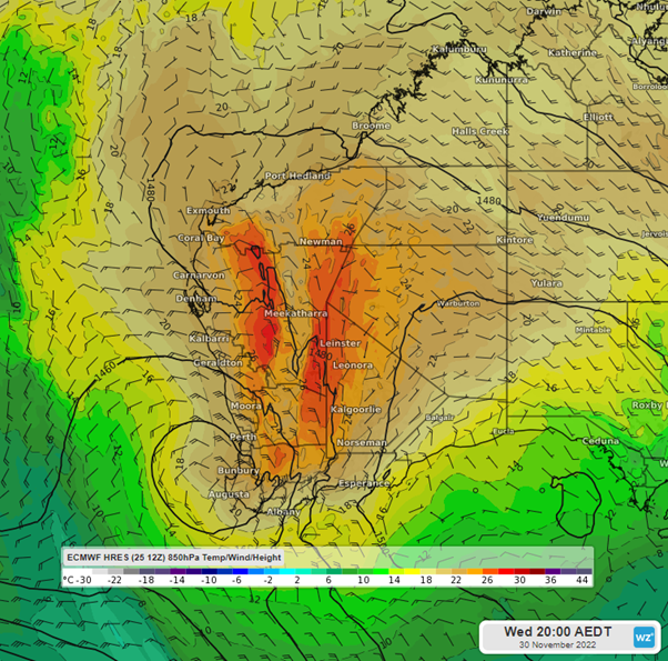
Image: 850 hPa temperatures on Wed 30th 5pm WST using ECMWF
Elsewhere in southwestern WA, particularly further inland, northerly winds will push maximum temperatures past 40°C to mid next week, peaking on Wednesday as the trough begins to push east. Meanwhile along the coast, the seabreeze will likely keep maximum temperatures much closer to 30°C.