Snow two hours from Sydney
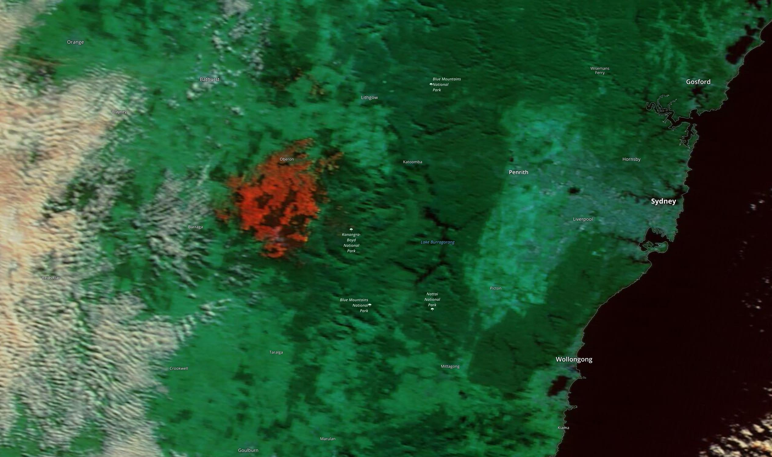
A 50km stretch of the NSW Central Tablelands was covered with snow on Tuesday morning, an area so large that the snow could be seen clearly from space.
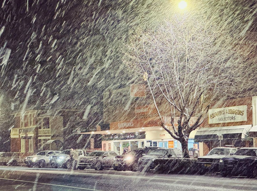
A strong cold front passed over southeastern Australia on Monday, delivering heavy snow in the Australian Alps and a dusting of snow on the Central Tablelands in NSW.

Image: Snow in Oberon on Monday night. Source: @the_colours_of_oberon / Instagram
As the sun rose on Tuesday morning, the Oberon Plateau – a large elevated area of the NSW Central Tablelands – was covered by a thin layer of snow.
The satellite image below uses false colours to help distinguish between clouds and snow. While snow and cloud both appear white in a regular true-colour satellite image, snow appears red in this image.

Image: Red shading shows snow on the ground in central NSW on Tuesday morning. Source: NASA Worldview / Terra MODIS
It was impressive to see such widespread snow just two hours’ drive to the west of Sydney. However, there was also plenty of ice on the ground even closer to the Sydney Basin.
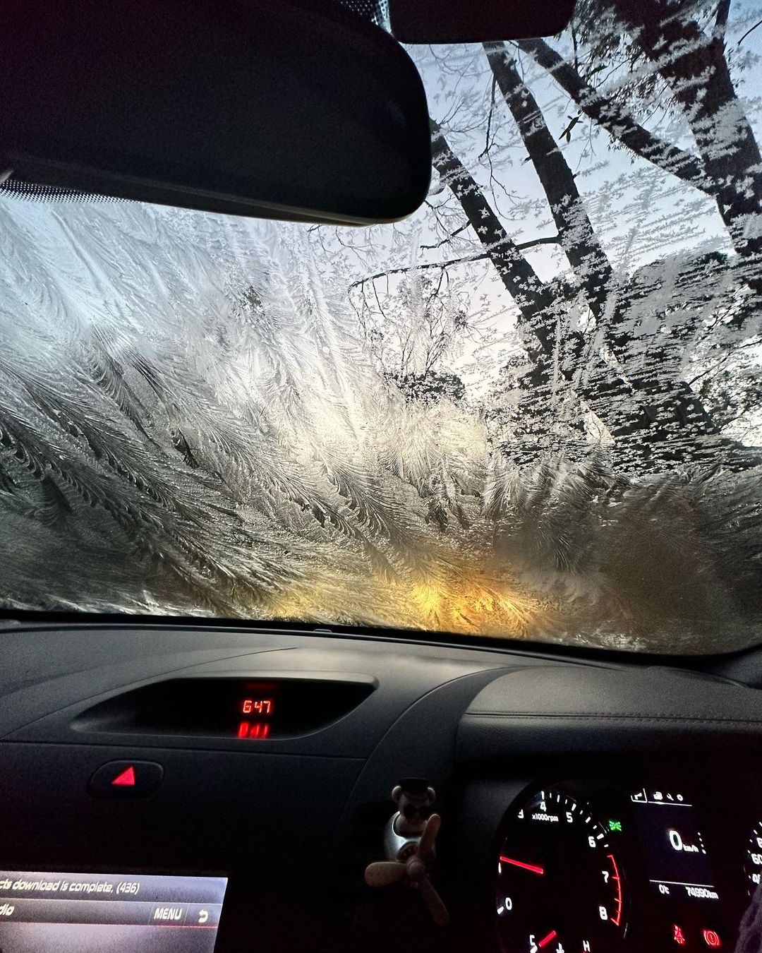
Sub-freezing temperatures in the Blue Mountains on Monday night caused plenty of frost to develop, with the weather station at Mount Boyce registering temperatures as low as -1.7ºC.

Image: Icy windshield at Blackheath on Tuesday morning. Source: @samhunter2502 / Instagram
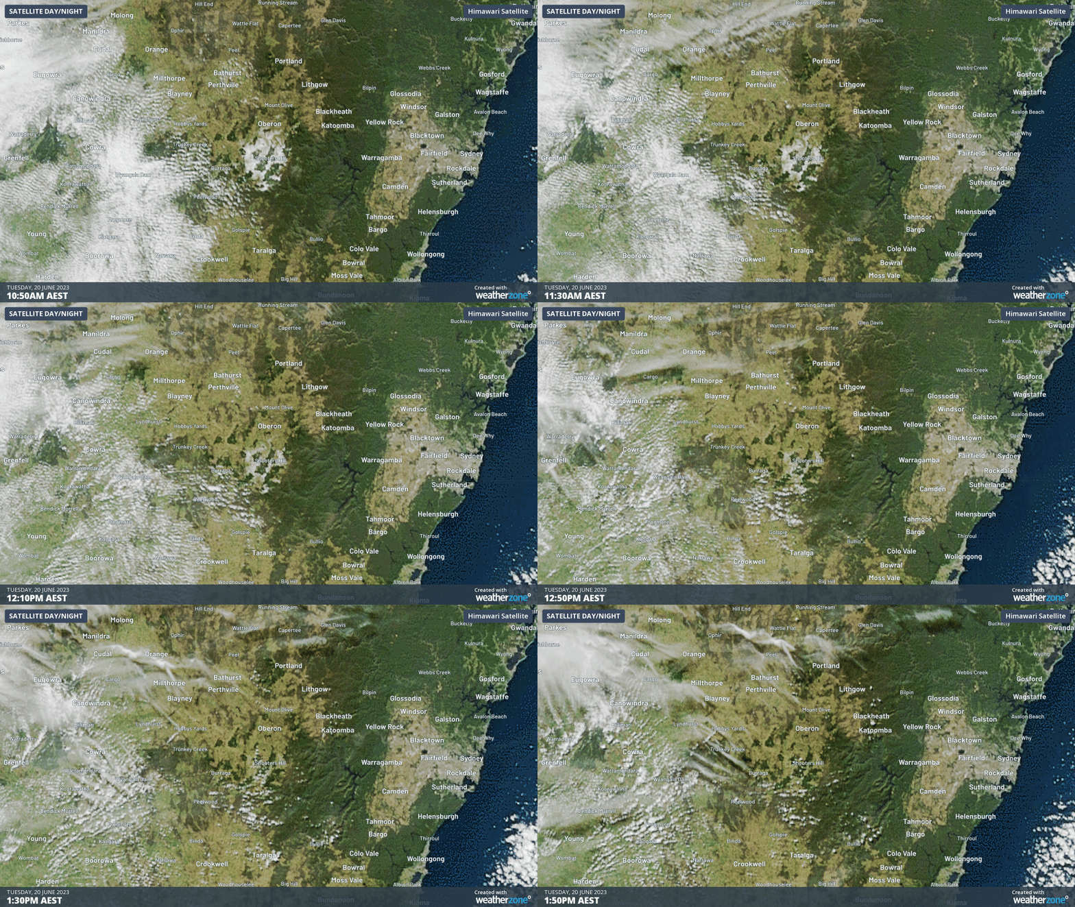
Unfortunately, Tuesday morning’s snow and frost didn’t last long. The same clear skies that allowed satellites to spy the snow cover on Tuesday morning also allowed to sun to shine all day, which quickly melted the thin layer of snow.

Image: Snow melting on the Oberon Plateau on Monday, as seen by the Himawari-9 satellite.
While there won’t be any more snow in central NSW in the near future, widespread frost will redevelop across NSW on Tuesday night and Wednesday morning.