
Six concurrent waterspouts spotted off Australia's east coast
There are watersports and then there are six waterspouts. This jaw-dropping phenomenon put on a spectacular show off the Illawarra coast in NSW on the weekend.
A band of rain developed off the Illawarra coast in NSW on Saturday as winds converged above a pool of unusually warm water in the western Tasman Sea.
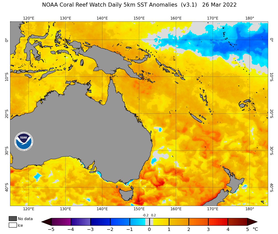
Image: Sea surface temperature anomaly on Saturday, March 26, 2022, showing unusually warm water along the NSW coast. Source: NOAA
This convergence line caused rotation in the low levels of the atmosphere, allowing small columns of spinning air to develop beneath the clouds. The convergence line was so long and well-defined that it gave rise to at least six concurrent waterspouts, which could be seen from Wollongong, Port Kembla and Kiama.
.jpg)
Image: Multiple waterspouts spotted from Kiama, NSW on Saturday, March 26. Source: @chrisfirthphotography / Instagram
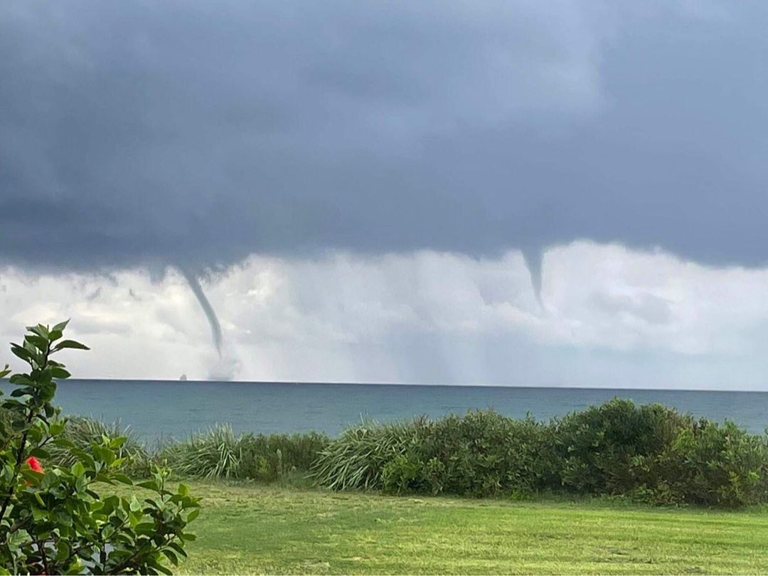
Image: A couple of weekend waterspouts seen from Wollongong. Source: @tibbycattus / Instagram
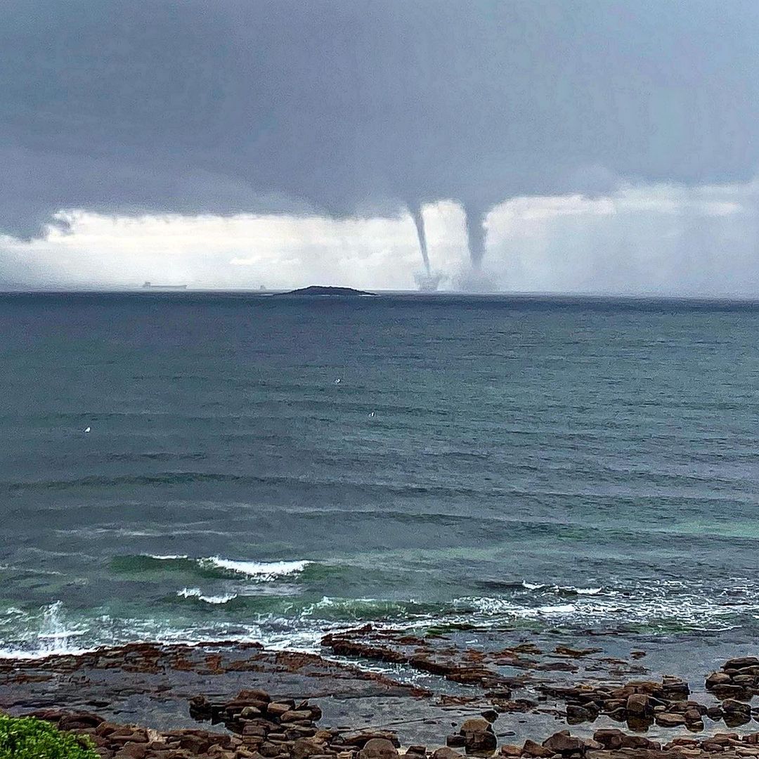
Image: Double-waterspot seen from Port Kembla on Saturday. Source: @kalemhawke / Instagram
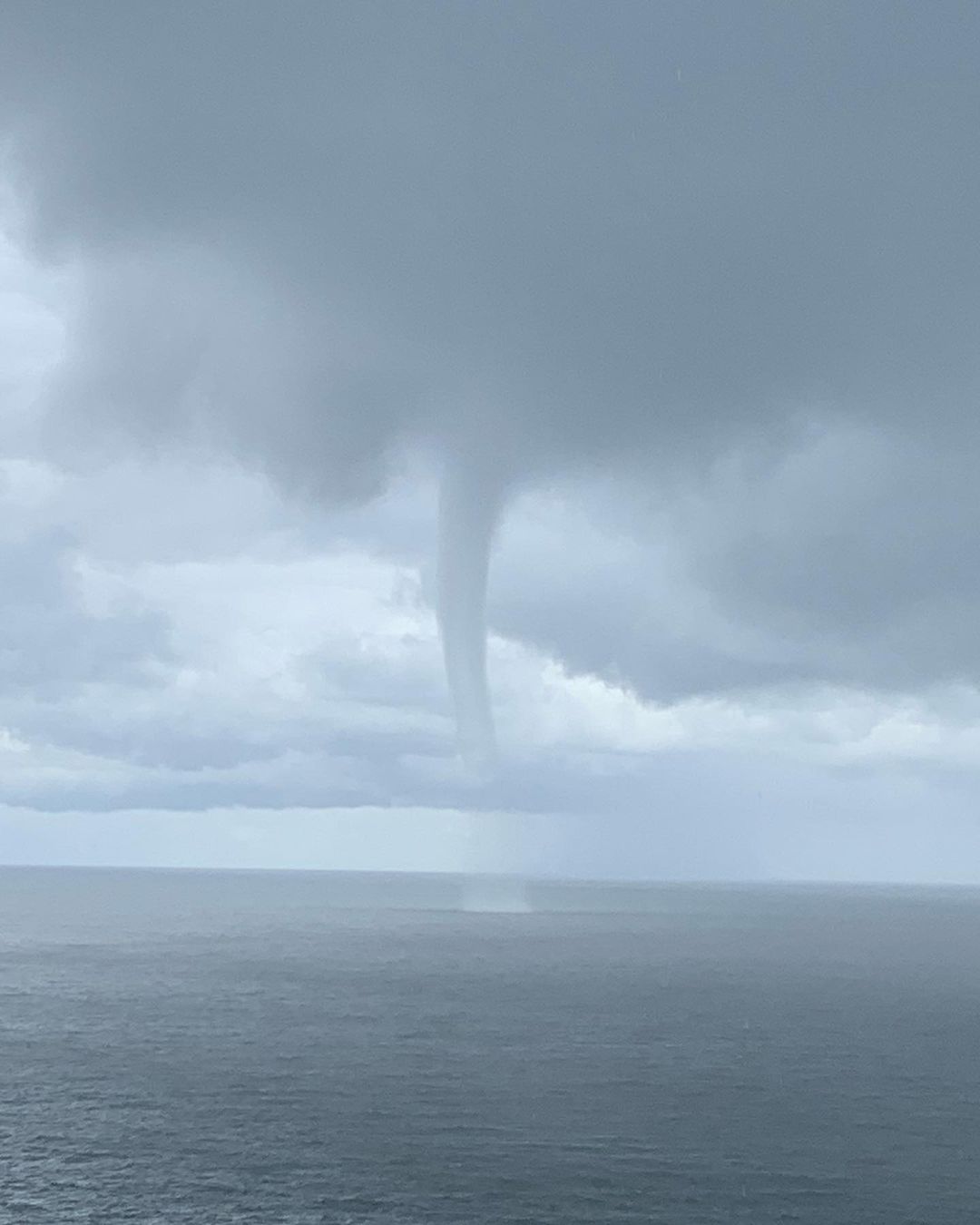
Image: Another waterspout from Port Kembla on Saturday. Source: @kalemhawke / Instagram
Waterspouts develop when air is rapidly drawn up into a developing rain or thunderstorm cloud, causing small but intense rotating columns of air to form between the ocean and the cloud’s base. Because this rising air is cooling as it rises, its water vapour condenses into liquid droplets, which produces a visible funnel-shaped cloud.
Waterspouts are frequently seen along the coasts of NSW and QLD, however, they often go undetected unless someone is nearby to take a photo.
While waterspouts are usually weaker than land-based tornadoes, they are still dangerous for boats that get too close.