SA town exceeds monthly rain average in half an hour
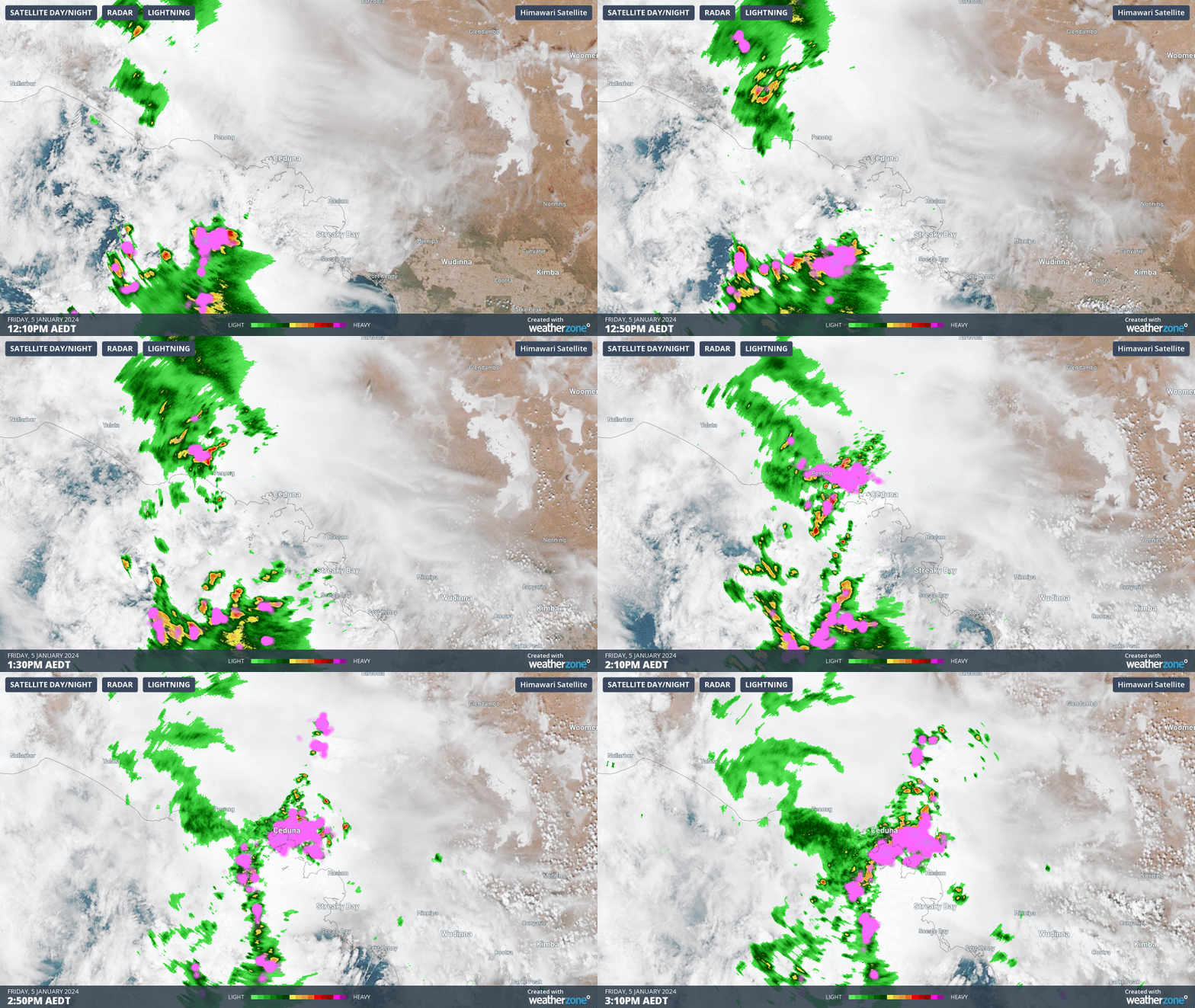
A powerful thunderstorm has lashed the South Australian town of Ceduna, dumping 13.6 mm of rain between 2 pm and 2:36 pm Friday, which is more than the town's entire monthly average for January of 13.1 mm.
You can see the storm move through on the loop below. There were plenty of natural fireworks (as in lightning) for those who weren't able to stay up till midnight on New Year's Eve earlier this week.

Today's storms are being caused by an upper-level low that's located over southern WA, not far from the SA Border, and they are just the beginning of a stormy period ahead for a large area of southeastern, eastern and northern Australia over the coming days.
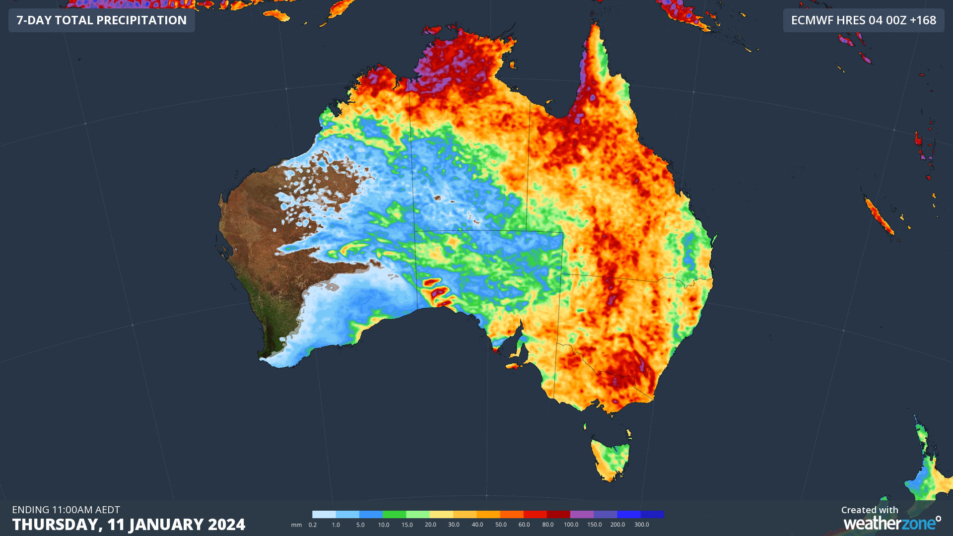
As this low moves east over the next few days, it will produce widespread rain and storms over southern and southeastern Australia. There will also be daily storms in the northern tropics due to a broad area of low pressure. That's why the chart below shows so much colour.

The oranges and reds indicate accumulations of between 50 and 100 mm over the next 7 days combined, while the eagle-eyed may even spot some purple patches, which means the possibility of 100 mm or more.
Meanwhile the main bad of rain and storms has cleared Ceduna as we hit "publish" on this story, with 14.8 mm recorded by 3:30 pm Friday (ACDT).

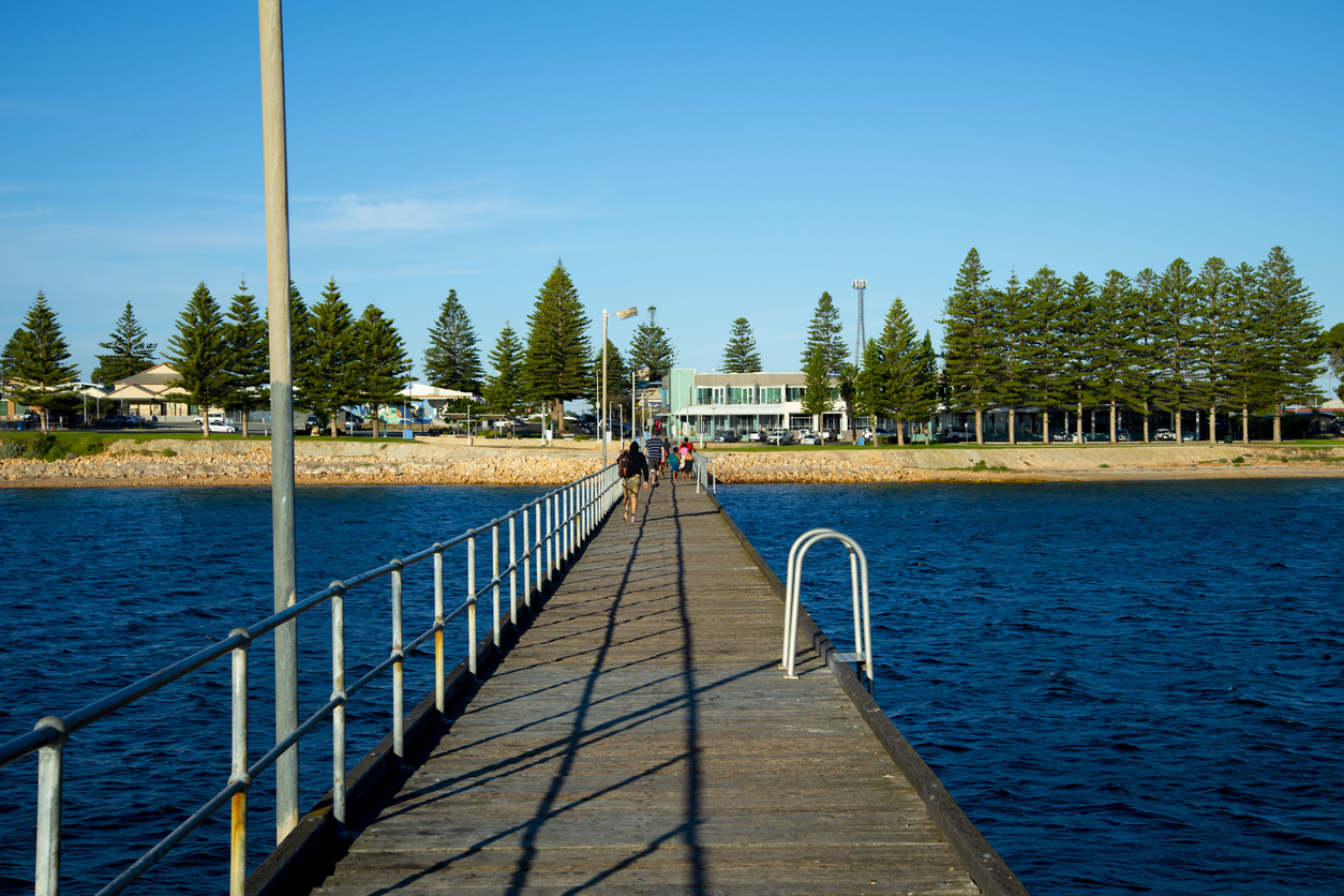
Image: There wouldn't have been too many people strolling along Ceduna Jetty on mid-Friday afternoon. Source: iStock.
The coastal town of 3600 residents sits near what you might call the "top" of the Great Australian Bight and has a relatively arid climate year round, with slightly more rain in winter and an annual average of 294.8 mm.