Revved up for the ski season after weekend snowfalls
Light snow fell across most of the mainland ski resorts over the weekend, bringing a welcome glimpse of white as the long weekend official snow season approaches.
This wasn't your classic westerly cold front which approaches from the Great Australian Bight and generally brings snowfalls to all resorts.
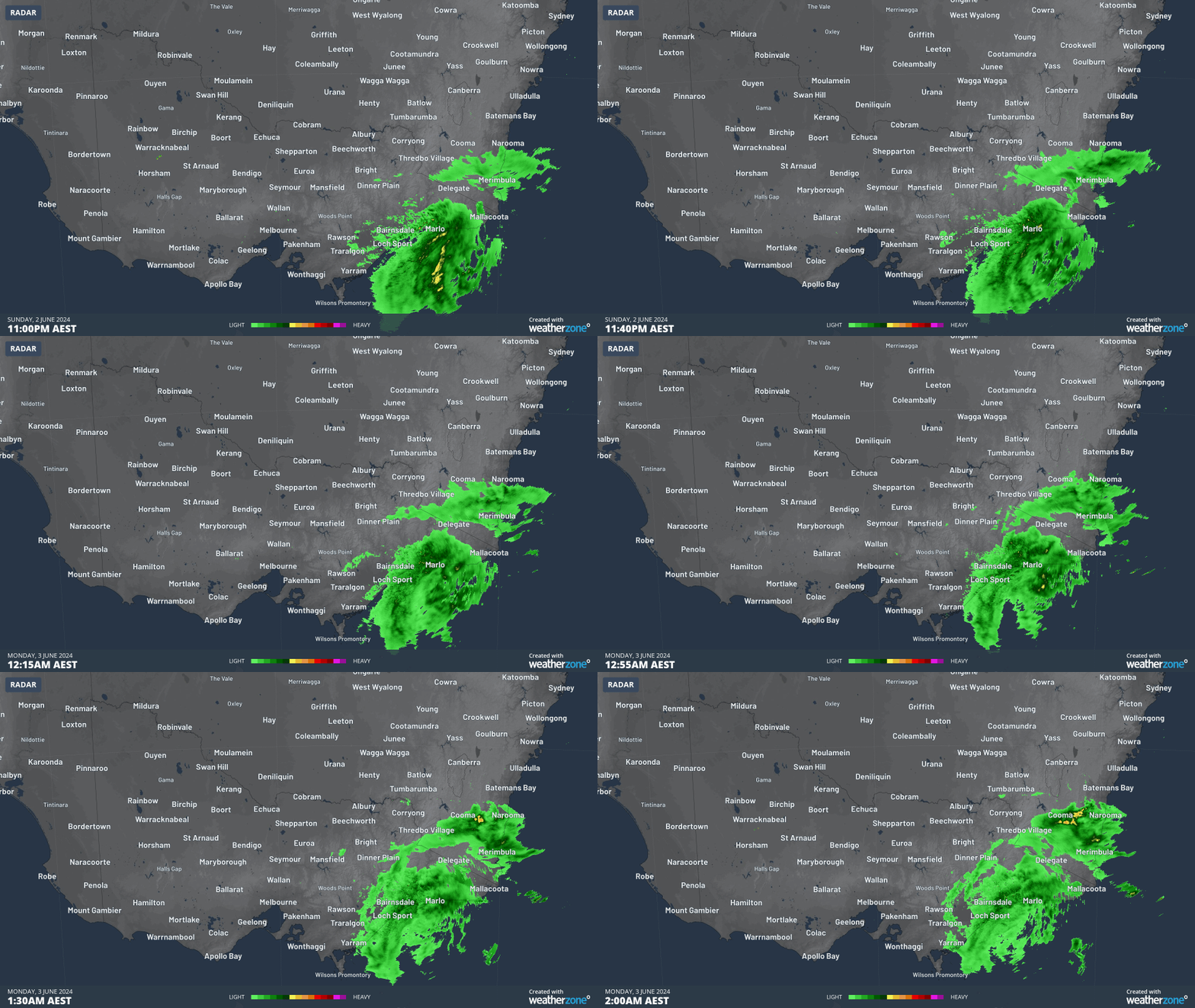
The snow came from a low pressure system centred off the coast near the NSW/Vic border, which funnelled heavy rain to far East Gippsland and the far South Coast of NSW.

The moisture only flicked the eastern side of the Australian Alps, which meant that NSW resorts like Perisher and Thredbo received a few centimetres of accumulated snow while Victorian resorts only saw very light falls as they are located slightly further west.
Indeed Victoria's two easternmost resorts, Mt Buller and Mt Baw Baw, both only received the lightest dusting of fresh snow which has already melted.
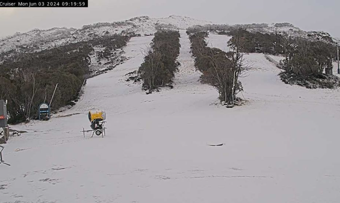
The resort that did best on the weekend was Thredbo, which saw snow on both Saturday and Sunday nights. Due to its location, Thredbo typically does best in these sorts of systems. Here's how the slopes look there this Monday morning.

Image: Don't bust the good skis out of the closet quite yet. Source: Thredbo.com.au.
As you can see, the cover is still very thin and there's not too much more snow expected from this system.
Two further factors are making the snow situation less than ideal with six days to go before the lifts start spinning for 2024.
- Firstly, minimal snowmaking is possible right now due to the very high humidity levels. The lower the humidity, the better the conditions for snowmaking.
- Secondly, temps are expected to rise a degree or two throughout the week and while a brief snowmaking window should open on Tuesday and Wednesday mornings as the atmosphere dries out a little making for colder overnight minimums, milder nights with high humidity will return towards the end of the working week
In short, there will definitely be a little skiable snow on beginner slopes at some resorts this long weekend, but not much else. And most of the slopes will still look pretty bare.
Looking further ahead, models are brewing up a serious snow system for next week. If that system comes off as currently predicted, it'll be a serious season-starter.
Unfortunately, you have to take any forecast more than seven days in advance with a grain of salt – or perhaps in this case that should be a flake of snow.

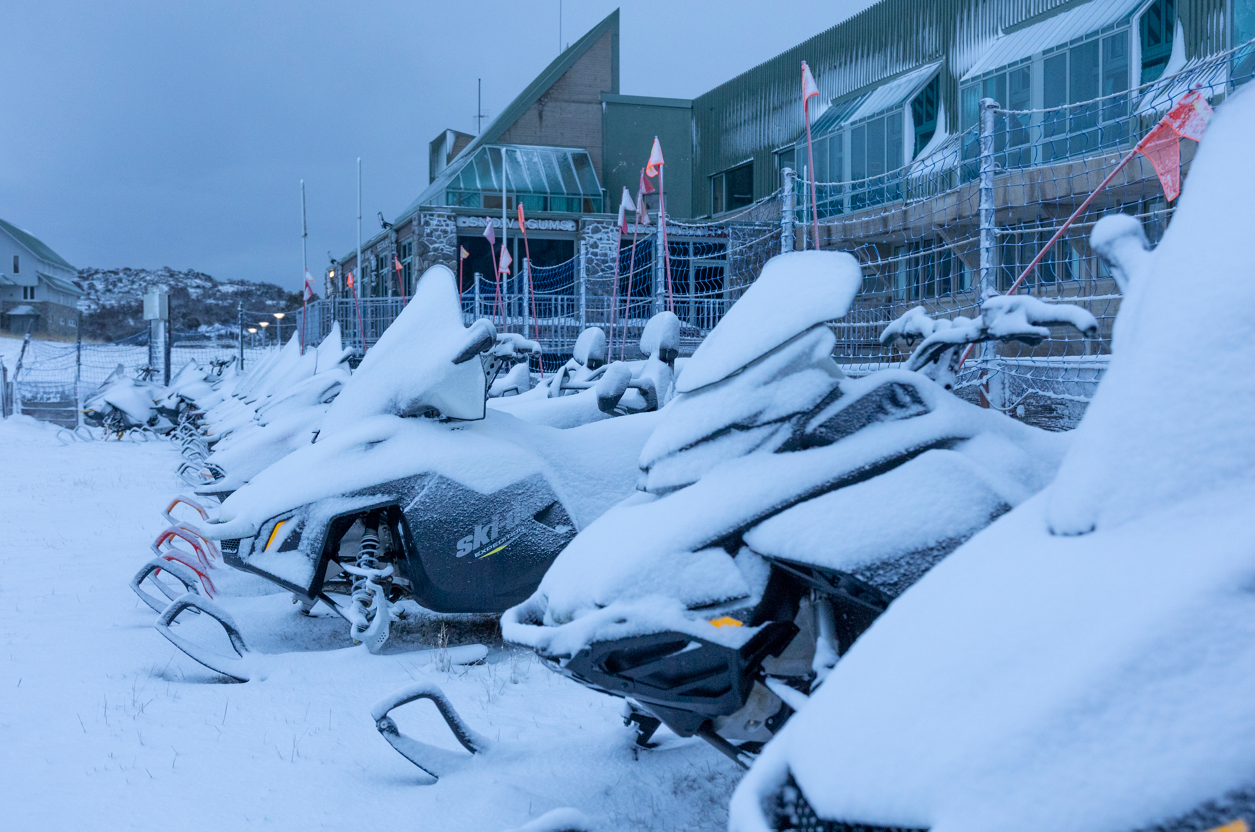
Image: Like horses lined up before a race, these snowmobiles look like they're just itching to take off! Source: Perisher.com.au.
You can check our long range models here and be sure to play around with the model settings.
