Relentless run of summer snow in Australia
Parts of Australia have seen snow every day this week, despite being less than one week away from the summer solstice in the Southern Hemisphere.
A series of unseasonably cold air masses have swept over southeastern Australia in the opening weeks of December, causing a winter-like start to summer in several states.
In Melbourne, the average daytime maximum temperature during the first 15 days of the month was only 21.3ºC. This is three degrees below average for this time of year and the coldest first half of December since 2001.
This month’s flurry of cold fronts have also delivered frequent bouts of snow in the higher mountains of Tas, Vic and NSW.
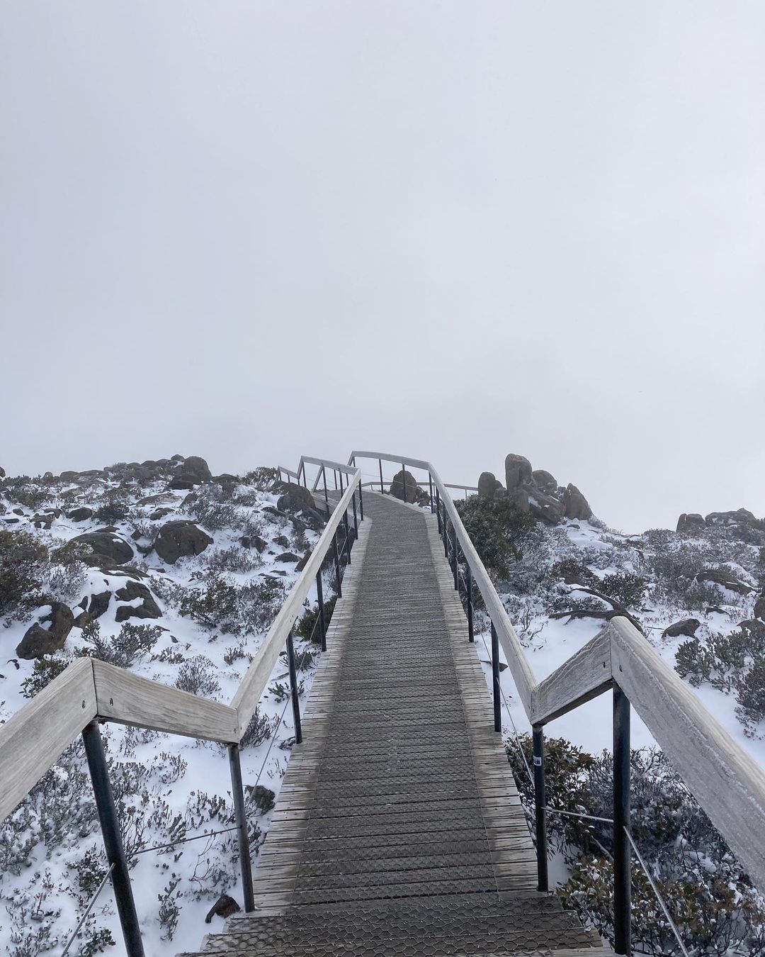
The top of Mount Wellington was covered by a layer of fresh snow on Thursday, while some areas in the mainland Alps have picked up new snow during each of the last five days.

Image: Snow on Mt Wellington in Tasmania on Thursday, December 15, 2022. Source: @shawnallen6 / Instagram
One of the reasons southeastern Australia has copped such a cold start to summer this year is because of the positions of high and low pressure systems around the continent.
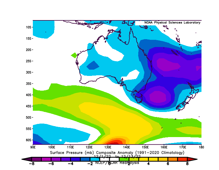
The map below shows that mean sea level pressure (MSLP) was unusually low near and east of Australia during the first 13 days of December. Meanwhile, MSLP has been higher than average to the south of the country.

Image: Surface air pressure anomaly between December 1 and 13, 2022. Source: NOAA
This abnormal synoptic pattern has allowed southerly component winds to drag cold air from the Southern Ocean up towards southeastern Australia, tapping into polar air masses that wouldn’t usually affect Australia in summer.