Record flooding after 800 mm inundates Fitzroy River in WA
Relentless rain from Ex-Tropical Cyclone Ellie continues to inundate the Kimberley region in northern WA, with some rivers now enduring their biggest flood on record.
Tropical Cyclone Ellie made landfall to the north of Wadeye in the NT late on Thursday December 22. Nearly two weeks later, the Ex-Tropical Cyclone is still hovering over northern Australia, converting a steady stream of monsoon moisture into heavy rain.
Video: Observed day/night satellite imagery during the last three days, showing thick cloud lingering over northern Australia near Ex-Tropical Cyclone Ellie.
Ellie’s incessant rain has resulted in some huge rainfall totals over the past seven days.
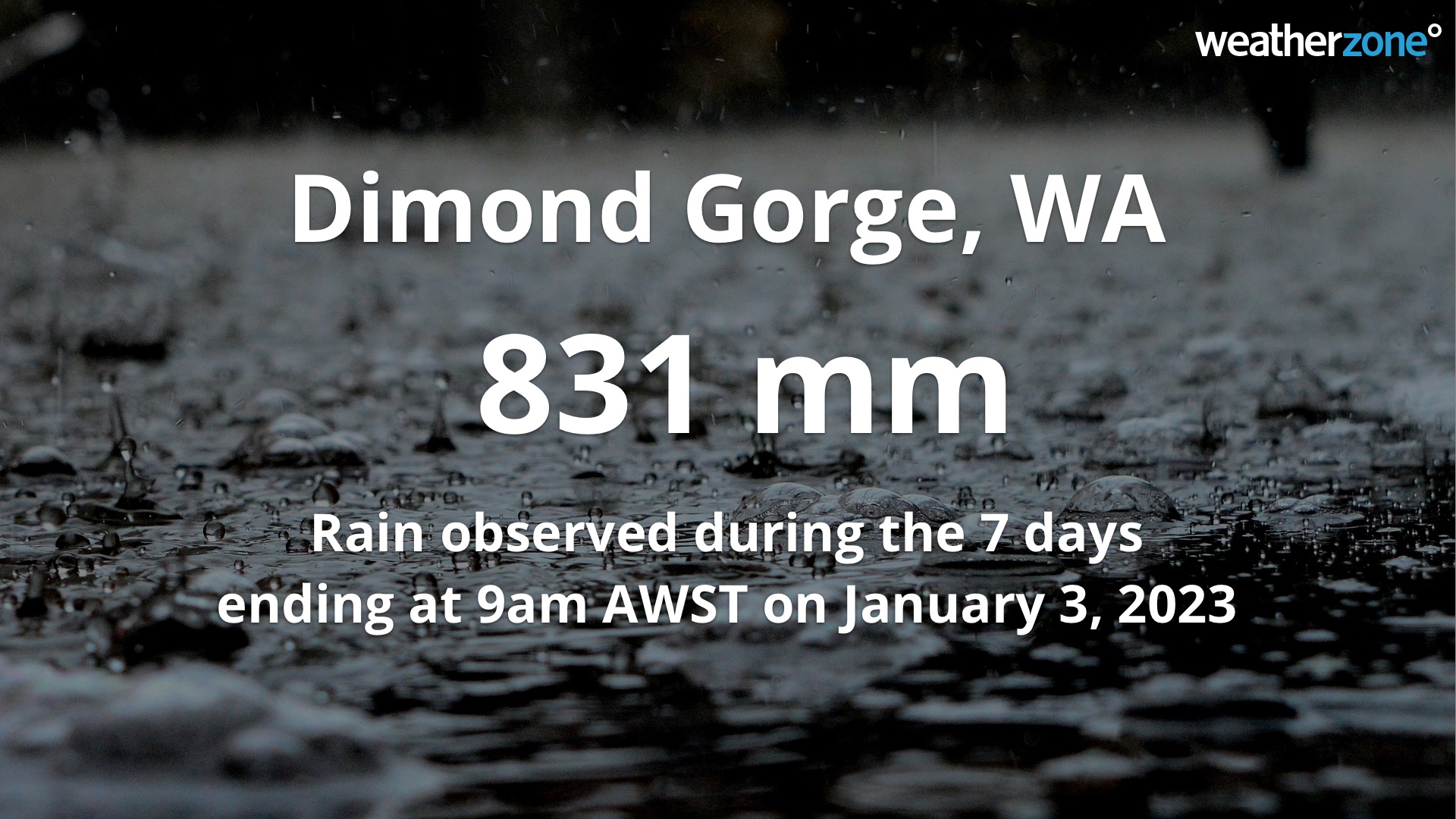
A rain gauge at Dimond Gorge, located to the north of Fitzroy Crossing, received a whopping 831 mm of rain during the 7 days ending at 9am AWST on Tuesday, January 3. Other notable totals during this one-week period included 635 mm at Phillips Range and 576 mm at Mount Joseph.

Unsurprisingly, the incessant rain from ex-Tropical Cyclone Ellie and an associated monsoon trough has resulted in widespread flooding and road closures.
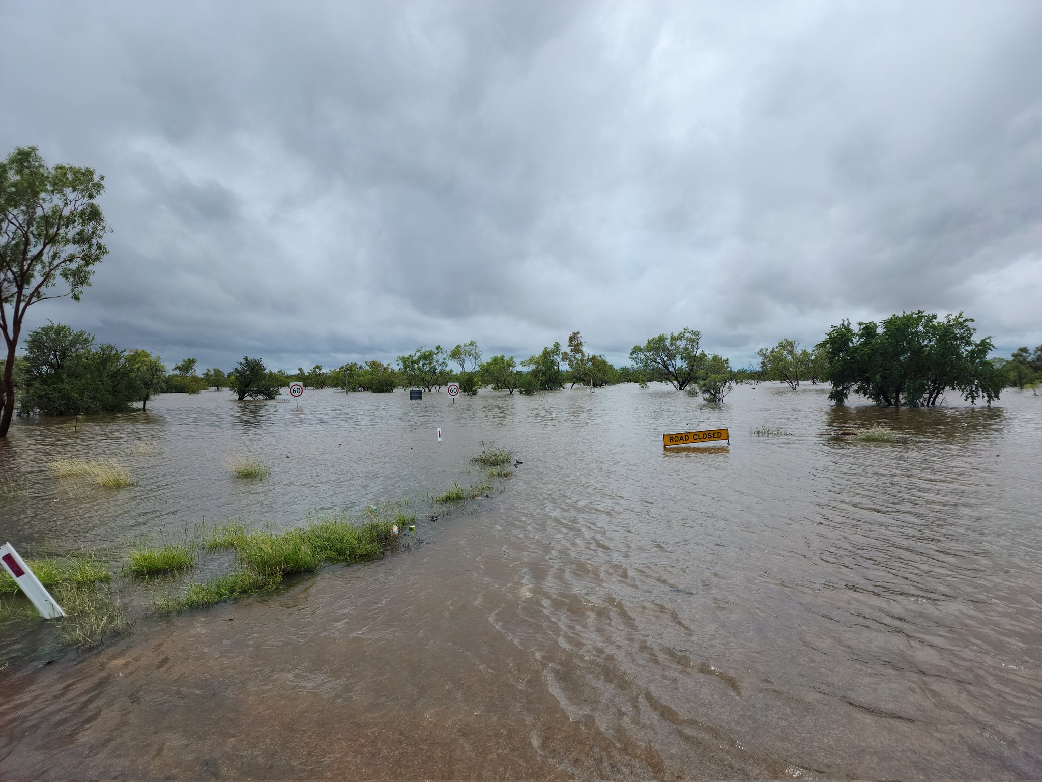
The Fitzroy River at Fitzroy Crossing began to rise late last week and was exceeding the major flood level of 12.5 metres by midday local time on Monday, January 2. By 8:30 on Monday night, the river level had surged above the site’s previous record of 13.95 metres (from 2002) and by 9am on Tuesday the river was a few centimetres away from hitting 15 metres. According to the Bureau of Meteorology, the river may reach around 15.2 metres later Tuesday.

Image: Flooding around Fitzroy Crossing, WA on January 2 and 3, 2023. Source: @CallumLamond / Twitter
The Emergency WA website was reporting widespread road closures across the Kimberley region on Tuesday morning, including sections of the Great Northern Highway and Gibb River Road. These road closures may isolate communities for around a week.
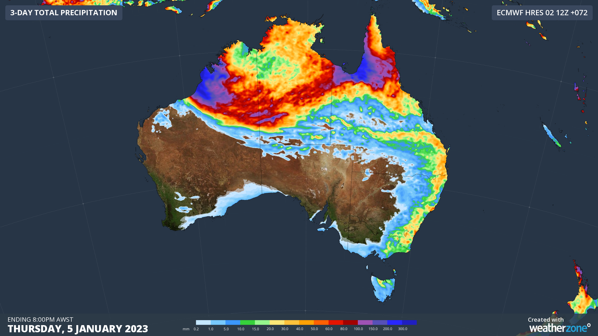
Unfortunately, Ex-Tropical Cyclone Ellie is predicted to linger over the north of WA for the next few days. There is even a chance that it could briefly drift back over open water to the north of WA, which could allow it to intensify into a tropical cyclone. The map below shows how much rain one forecast model is anticipating during the next 72 hours.

Image: Forecast accumulated rain during the 72 hours ending at 8pm AWST on Thursday, January 5, 2023.
Be sure to stay up to date with the latest warnings and road closures throughout this week if you live in the north of WA, the NT or Queensland.