Rare snow in South Australia
A unique set of weather conditions caused snow to settle on South Australia’s Flinders Ranges on Thursday night and Friday morning.
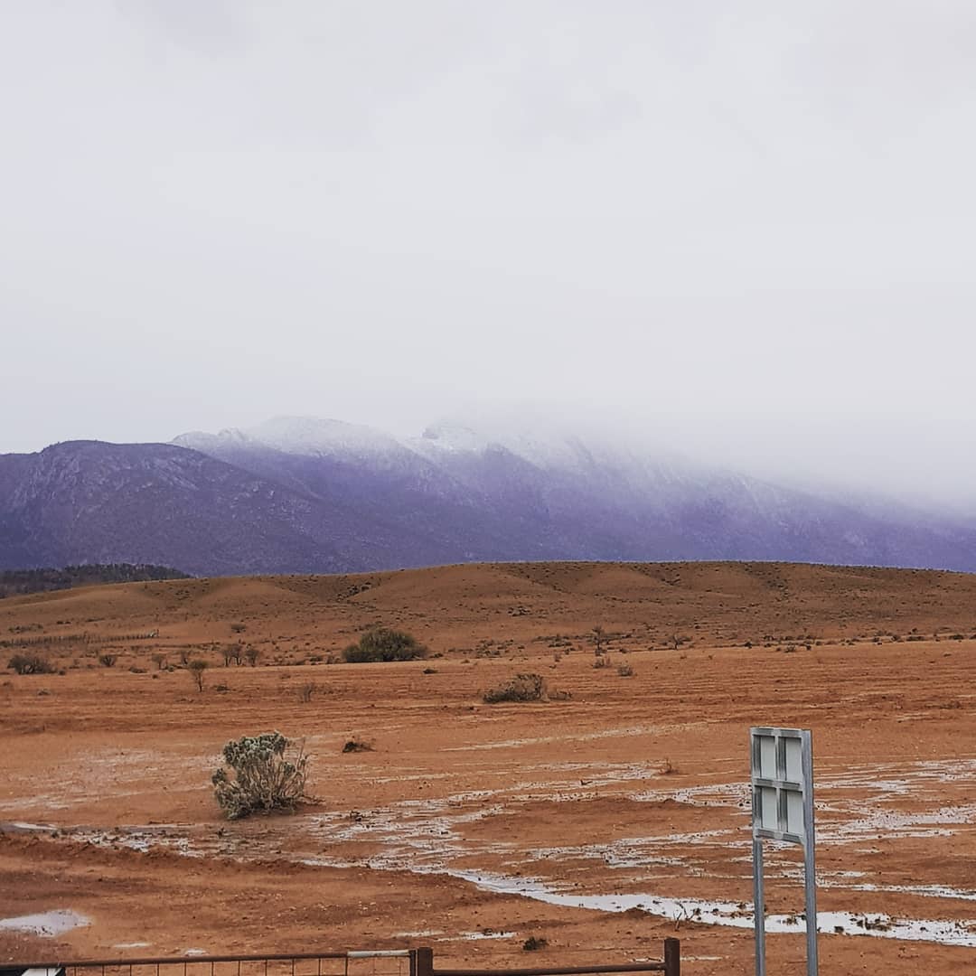
While welcome rain has soaked parts of South Australia during the last 24 hours, some elevated areas in the state’s north have been treated to a rare cover of snow.

Image: Rain on the ground and snow on the mountain at Mern Merna Station in the Flinders Ranges. Source: @mernmernastation / Instagram
On Friday morning, snow was settling on the ground at Skytrek Willow Springs Station, which sits at around 600 meters above sea level in the Flinders Ranges. There was also snow at Wilpena Pound and on Mount Aleck.
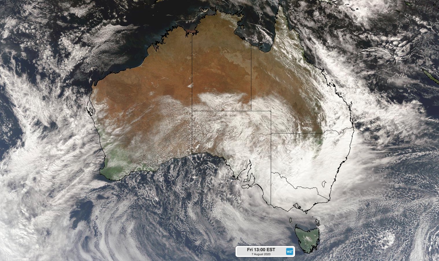
These wintry scenes were made possible by a unique weather setup: a low pressure system passing from South Australia into NSW that caused cold low-level air to interact with a deep layer of moisture over South Australia late on Thursday and into Friday morning.

Image: Cloud over Australia on Friday associated with a low pressure system moving from South Australia into NSW.
The cold air in this case was associated with an Antarctic air mass that also caused sea-level snow and record-breaking low temperatures in Tasmania this week.
As this cold and moisture-laden air reached South Australia’s Flinders Ranges and Mid North regions, a phenomenon known as the ‘melting effect’ helped cause snow to unusually low levels.
The melting effect occurs when snow falling through near-saturated air melts with little evaporation. Small amounts of heat are extracted from the air as the snow (ice) turns to liquid. If this melting process happens over a broad area and for a prolonged period of time, the snow level gradually lowers.
The melting effect can also contribute to low-level snow events in other parts of Australia. A recent example was along the NSW ranges during September last year, when heavy snow affected traffic on the Hume Highway near Goulburn.