
Queenslanders rug up as overnight temperatures plummet
Queensland residents were required to whip out their slippers, beanies, dressing gowns and toe socks this morning, after awaking to near-freezing temperatures.
A large high pressure system stretching into all of Australia's states and territories has brought about a very chilly morning in QLD. Clear skies and very calm winds are the main culprit of this event, allowing temperatures to rapidly drop during the evening and into the morning.
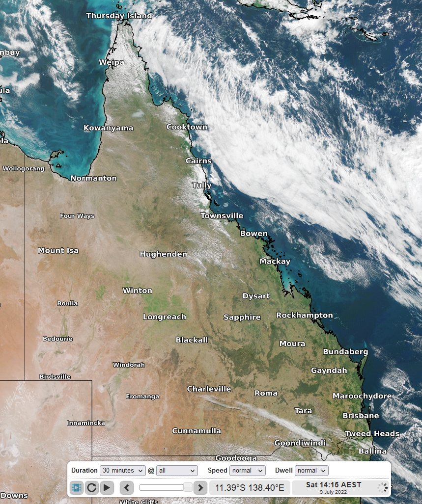
Image 1: Mostly clear skies across QLD – Satellite image on Saturday 9th at 14:15AEST
Kingaroy was one of the coldest places in QLD this morning, with the mercury only hitting a frosty -2.4°C. Other freezing towns included Wellcamp (-2.1°C), Roma (-1.4°C), Mitchell (-1.2°C) Warwick (-0.6°C), Applethorpe (-0.5°C) and Oakey (-0.1°C).
We can see from the above temperatures that the south of the state was hit hardest. It was the coldest July morning in 4 years for Bundaberg (4.6°C) and 2 years for the Sunny Coast (3.2°C) and Charleville (0.0°C).
If we go on and compare some of these fresh mornings to July monthly averages, Toowoomba was sitting 6 degrees below average (0.7°C), 5 degrees below average for Woolshed (5.3°C), Thangool (0.5°C), Gladstone (7.0°C) and Hervey Bay (4.7°C), and turning our attention to the folks in Far North QLD, it was also about 5 degrees below average for Cooktown (13.4°C).
These freezing conditions are expected to persist over the next several days. The high pressure system responsible continues to head east across the state, keeping conditions ideal for these not so pleasant mornings.
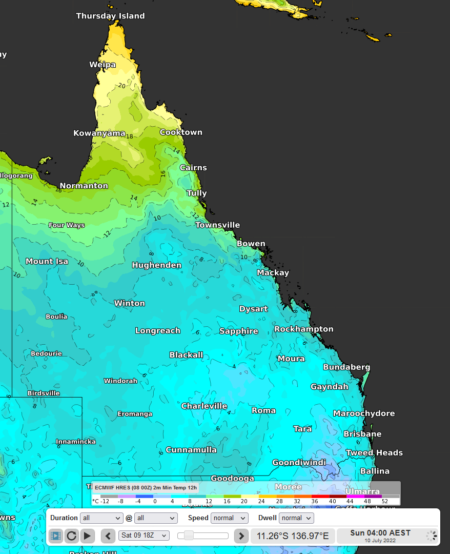
Image 2: Forecast minimum temperatures for Sunday 10th morning using the ECMWF model (it will be chillier than these models are predicting!)