Perfect weekend in the Aussie snowfields
Australia's mainland ski resorts have a great early season cover and are set to kick off one of the busiest weekends of the year with perfect weather and plenty of soft snow.
With public school holidays now upon us in all states, the majority of lifts should be open at all resorts thanks to consistent snowfalls over the past two weeks with virtually none of the wet stuff in between. Recent nights have also been cold and mostly dry, enabling snowmaking.
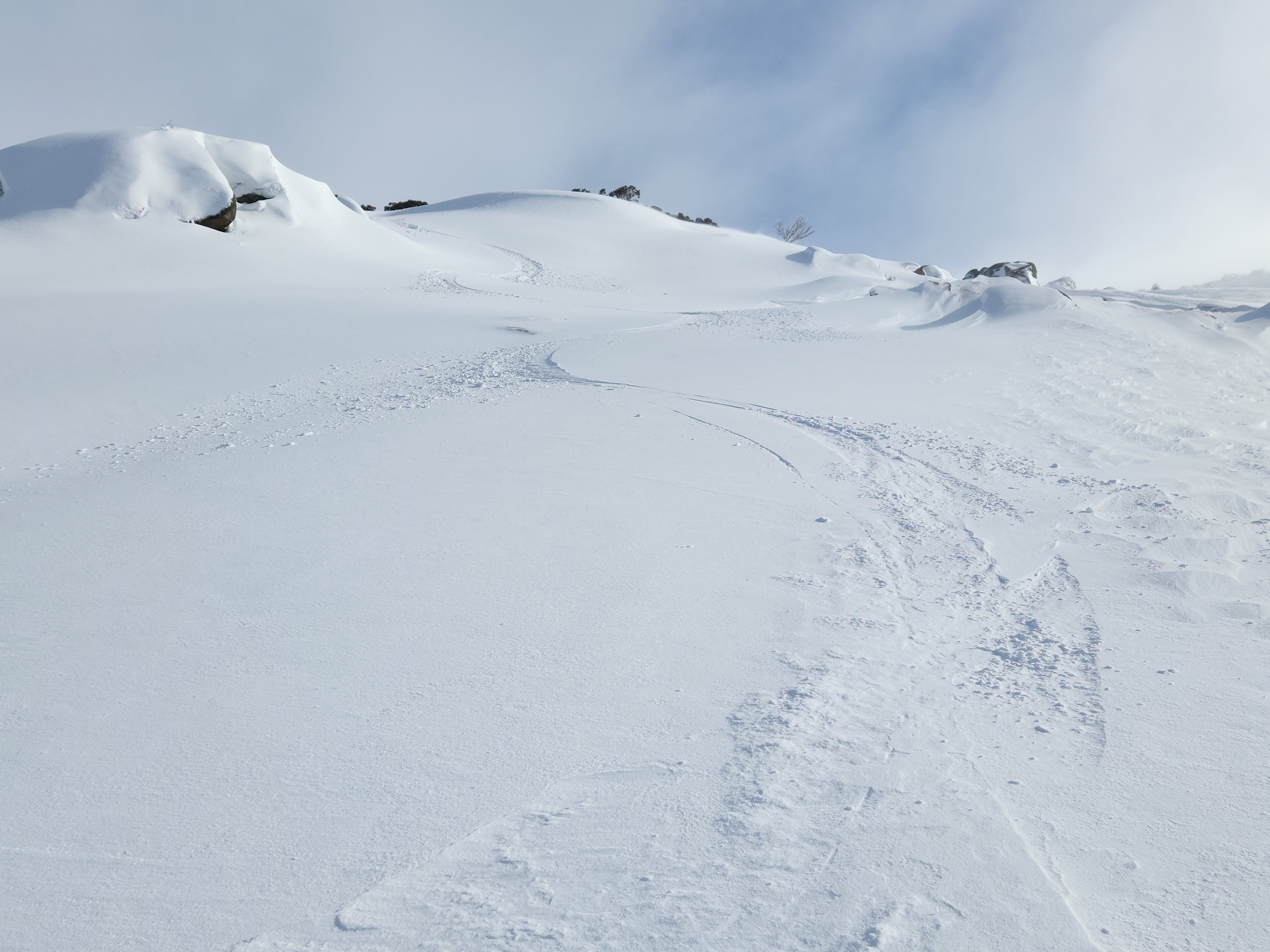
This was the scene on Tuesday afternoon on the upper slopes of Thredbo, way up above all but the highest snow gums. A seasoned snow-goer would recognise the nice chalky texture of that snow from the ski patterns.

Image: Nice turns, and with the weather set to remain fine and cool over the weekend, there should be plenty more in store. Source: PMG via ski.com.au.
Take a look at the Friday 2:30 pm chart below. As you can see, live temps are as low as -1°C at weather stations in the ski fields in the warmest part of the day, and it's always a great sign when max temps stay around or below zero during daytime hours.

The other feature to note is the high pressure system centred south of WA, which will head east into the week, clearing some of the cloud and light snow showers which persist in the unstable southwesterly stream.
Most resorts now have a majority of their lifts open. Click on the links for Thredbo, Perisher, Charlotte Pass, Selwyn (NSW) and Mt Buller, Hotham, Falls Creek and Mt Baw Baw (Vic) for the latest updates on what’s open and what's not.
In terms of snow depth, the NSW resorts are reporting a natural (non-snowmaking) 58 cm base, but that’s the official measure taken by Snowy Hydro at its Spencers Creek measuring course roughly halfway between Perisher and Thredbo. It was last updated on June 21 and locals say the depth is more like a metre now on the upper slopes.

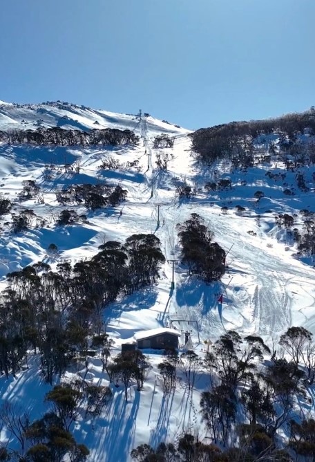
Image: Antons T-bar at Thredbo looking the goods on its June 30 opening day for 2023. Source: Thredbo.
In Victoria, Mt Buller reports a natural depth of 46 cm, Hotham 81 cm, Falls Creek 94 cm, and Mt Baw Baw 35 cm.

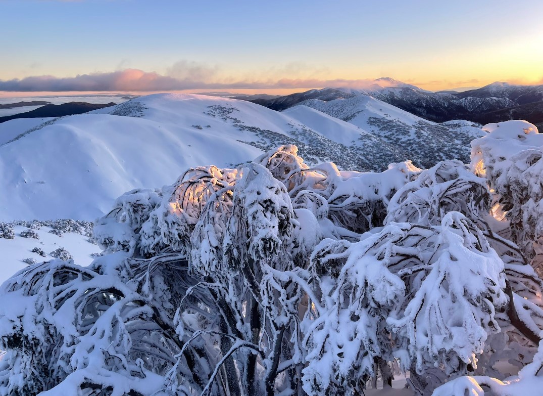
Image: Expect even better sunrises this weekend. Source: Chris Hocking at Mt Hotham.
At this stage, the next snowy system looks likely to arrive towards the end of next week after a couple of windy, warmish days midweek ahead of a cold front. It's likely that next weekend (July 8/9) could bring great snowfalls but pretty challenging weather conditions, so enjoy this weekend's sunshine if you're lucky enough to heading for the hills.
And as ever, check the latest conditions, forecasts and more on the Weatherzone snow page.