
Paris Olympics weather: what are July and August like?
Anthony Sharwood
If the weather conditions during the Paris 2024 Olympics are close to average, then temperatures will be remarkably similar to midsummer temps in Australia's two largest cities Sydney and Melbourne.
The Paris 2024 Olympics run from Friday, July 26 to Saturday, August 11, so we’ll focus on both the July and August averages for the for the French capital.
The temperature in Paris
Paris averages a maximum of 26°C in July and 25°C in August, with an average overnight low of 16°C in both months. These are the two warmest months of the year for both maximums and minimums.
As stated, this is very similar to both Sydney and Melbourne.
- Melbourne's average maximum is 25.9°C in both January and February, its two hottest months.
- Sydney’s average maximums in Jan and Feb are 26°C and 25.8°C respectively.
Rainfall in Paris
The average Paris rainfall is 73 mm in July and 60 mm in August, with thunderstorms relatively common in both months. Stormy weather is associated with high levels of humidity, which would make life uncomfortable for athletes.
By way of contrast for Australians, Sydney averages over 100 mm in Jan and Feb (which is why the Test cricket is so often rain-affected), while Melbourne averages slightly less than 50 mm in both months.
So while Paris has average maximum temps during the Olympic period which are similar to both Sydney and Melbourne in a typical midsummer, Paris would on average be drier than Sydney but a little wetter than Melbourne.
Paris summer extremes
During high summer when the Olympics are on, the main way that Paris differs from Australia's two most populous cities is its lack of extremes.
As most Australians would know, both Sydney and Melbourne have exceeded 45°C in the past. Indeed Penrith in outer western Sydney hit a scorching 48.9°C in January 2020. That was at the weather station out at Penrith Lakes where Aussie Olympic canoe slalom champ Jessica Fox trains.
The highest temperature ever recorded in Paris was 42.6°C on July 25, 2019, but the city has only recorded temperatures of 40°C a few times in its history. So extreme heat is unlikely.
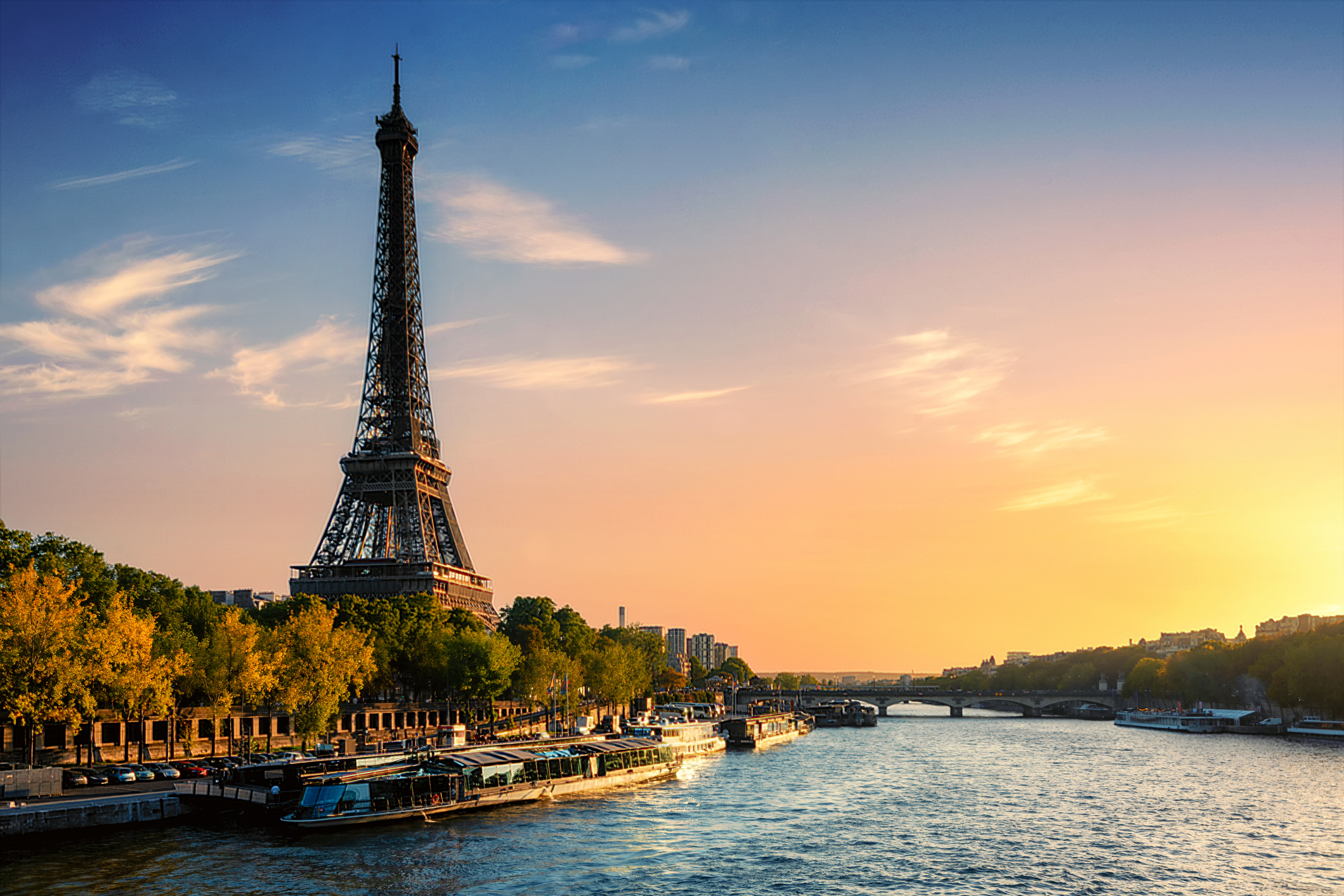
Image: You can never have too many pics of the Eiffel Tower in stories about Paris. Source:iStock.
So what will the Paris weather be like over the next two weeks?
Warm weather with maximums in the mid to high twenties is forecast from Thursday through to the end of the weekend.
So you'd have to say the forecast for the first few days of the Olympics is close to perfect. Things then appear to warm up early next week, with top temps in the low 30s expected on both Monday and Tuesday. A continuation of warmer-than-average maximums throughout the first week appears likely at this stage.
As for the all-important Opening Ceremony – which will break tradition by being held along the banks of the River Seine rather than in a stadium – showers are forecast on Friday morning but the French Meteorological Agency Meteo France is forecasting the chance of clearing skies in the evening. Here's hoping.
You can check the official 15-day Paris forecast here.
Note to media: You are welcome to republish text from the above news article as direct quotes from Weatherzone. When doing so, please reference www.weatherzone.com.au in the credit.