Near-record warm September in Sydney, Melbourne, Canberra, Adelaide and Hobart
Australia’s southeastern capital cities are on track to register one of their top two hottest Septembers on record, with another burst of unseasonable warmth set to arrive before the end of the month.
The onset of a positive Indian Ocean Dipole (IOD) and El Nino has caused a noticeable reduction in cloud and rain over Australia in recent weeks. This clear and dry weather has caused heat to build over the continent, resulting in a wave of record-breaking early-spring warmth over parts of southern and southeastern Australia earlier this month.

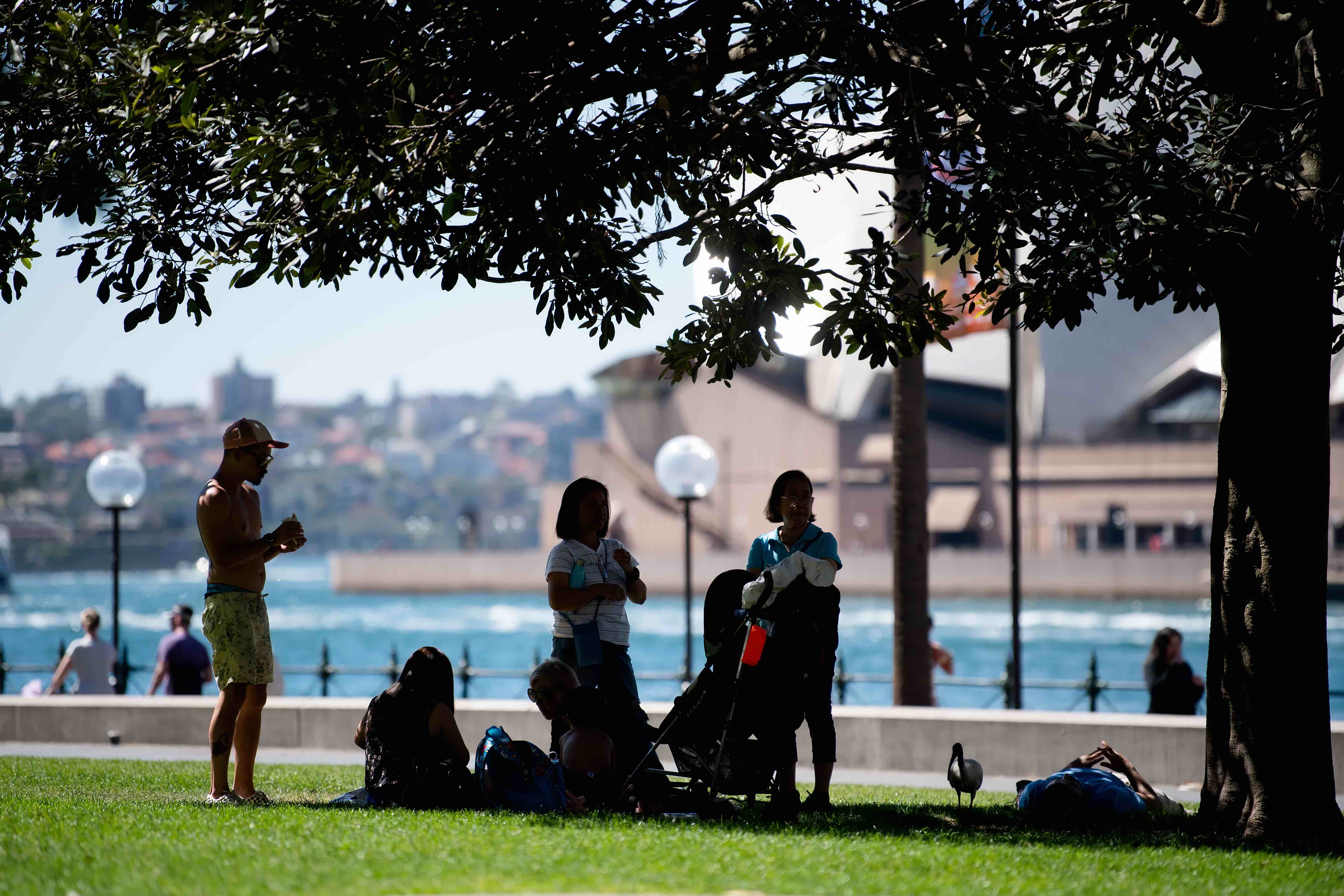
Image: Sydneysiders trying to escape the heat on September 17 during this month's record-breaking spell of early-season heat. Source: AAP
The combination of the abnormal hot spell earlier this month, plus another bout of above average temperatures coming later this week, will put Melbourne, Sydney, Canberra, Hobart and Adelaide on track to have one of their warmest Septembers on record.
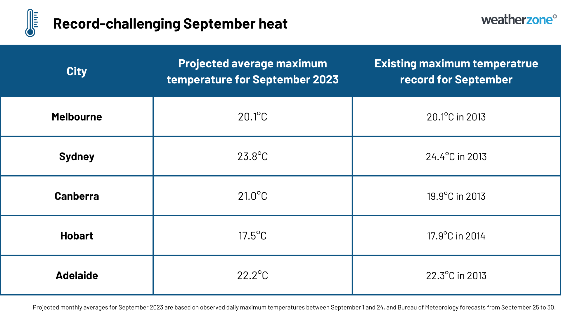
Below is a table showing the projected average monthly maximum temperatures for each southeastern capital city, based on observations up to September 24 and forecasts between September 25 and 30.

Melbourne is expected to challenge 2013 for top spot in its 169-year history, while all other southeastern capital cities should come in as the second warmest September on record based on maximum temperatures. These top two ranking are significant because all cities have more than a century of records.
The record-challenging heat has occurred alongside a noticeable lack of rain. Melbourne, Sydney and Canberra have all received less than 30 % of their September average rainfall so far this month,
Melbourne could even challenge its record for the driest September. As of 9am on Monday, September 25, the city had only picked up 10.8 mm of rain so far this month. With little rain on the forecast during the coming week, the city could beat its current September record of 12.0 mm in 2008.