Murray-Darling Basin flood risk as rain returns to southeastern Australia
Several days of rain and thunderstorms are about to soak southeastern Australia, adding more water to already flooded rivers in the Murray-Darling Basin.
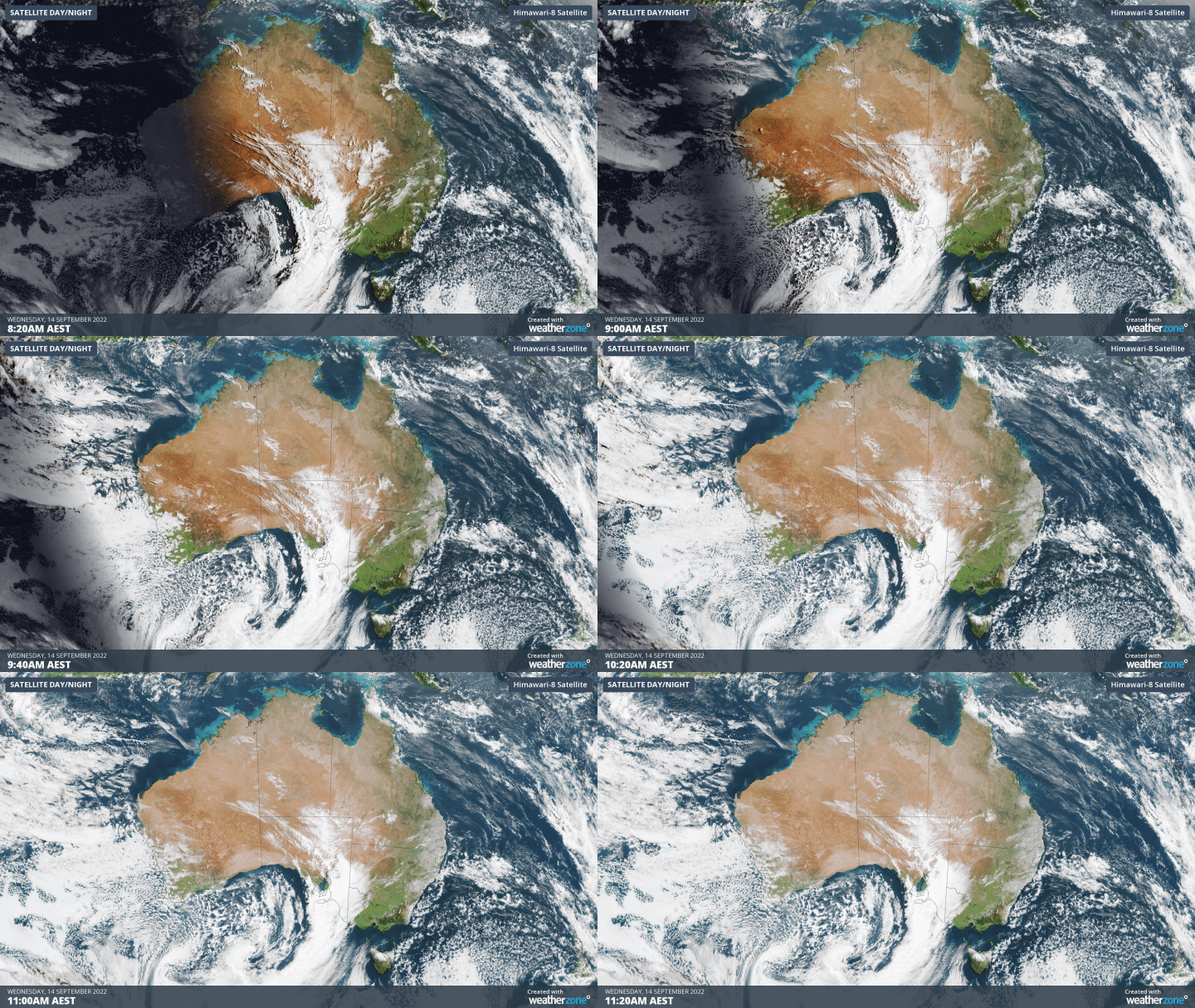
The satellite images below show cloud associated with a cold front and low pressure system passing over southern Australia on Tuesday morning.

This front and low will cause a broad band of rain and thunderstorms to pass over southeastern Australia between Wednesday and Friday, affecting parts of SA, Tas, Vic, NSW, the ACT and southern Qld.
This initial rainband will bring widespread 10 to 30 mm of rain, with isolated falls exceeding 50 mm. Some of this rain will be falling into already flooded rivers in the Murray-Darling Basin, likely causing renewed river level rises in some areas. Severe thunderstorms are also possible over western NSW and southern inland QLD on Thursday afternoon.
Numerous flood warnings are already in place between Qld and Tas, and flood watches may be issued in the next 24 hours.

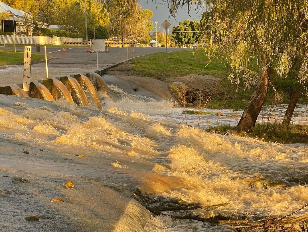
Image: Myall Creek in southern Qld last week. Source: @j9.travels / Instagram
Following this initial band of rain, another burst of showers and cold, blustery winds will spread over parts of SA, Tas, Vic, southern NSW and the ACT between Thursday and Sunday.
This second round of wet weather, which will be driven by the slow-moving low pressure system, should also see some areas picking up snow and small hail as much colder air sweeps in with the low.
Looking further ahead, there are early signs that another rain-bearing system will cross the Murray-Darling Basin around Tuesday and Wednesday next week.
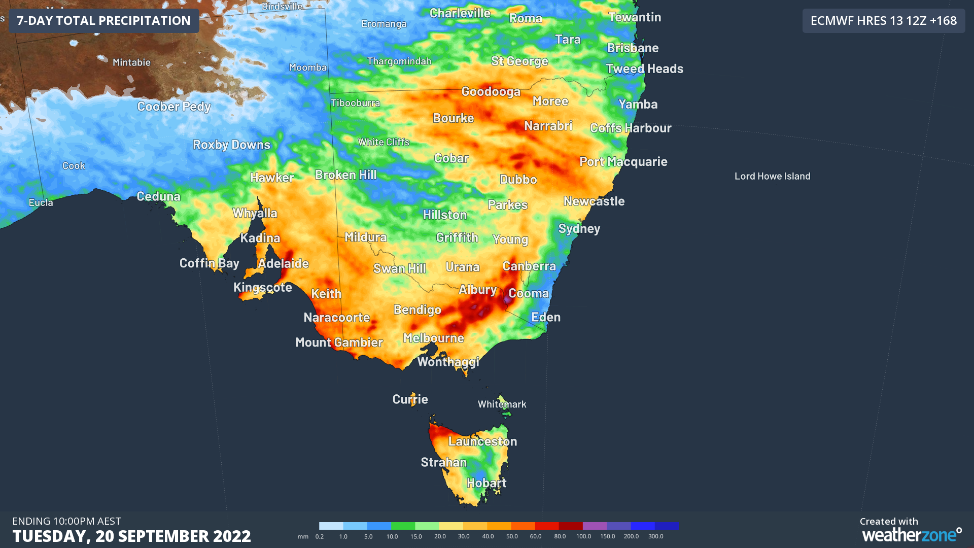
The map below shows how much rain one computer model is predicting during the next seven days combined, with widespread falls of 30 to 50 mm and isolated totals exceeding 100 mm.

Image: Forecast accumulate rain during the seven days ending at 10pm AEST on Tuesday, September 20.
This upcoming rain and potential flooding comes just days after the Bureau of Meteorology officially declared that La Niña was underway in the Pacific Ocean.
The combination of La Niña, a negative Indian Ocean Dipole and predominantly positive Southern Annular Mode (SAM) will continue to increase the likelihood of rain and flooding over large areas of southeastern and eastern Australia during the rest of spring.
Be sure to check the latest flood warnings and watches for the most up-to-date information on riverine flooding as this weather event unfolds.