
Morning Glory cloud rolls over northern QLD
One of Australia’s most iconic clouds, the Morning Glory, was on display over the southern Gulf of Carpentaria this morning.
The sequence of satellite images below shows a series of distinct hair-like cloud bands moving over the southern Gulf of Carpentaria, travelling from east to west, early on Monday morning.
The thin cloud bands in the video above were individual roll clouds, each measuring around 100 to 300 km in length.
Roll clouds are long tube-shaped clouds that develop when a unique set of conditions causes air to travel horizontally in a wave-like motion.
These waves in the sky, which are called undular bores, can cause bands of cloud to form near the crest of each wave, where the air is cooler, separated by sections of clear sky at the bottom of each wave, where the air is relatively warmer.
Australia’s Gulf of Carpentaria is home to the most frequent roll cloud on our planet, one so reliable that it has been given a name: the Morning Glory cloud.
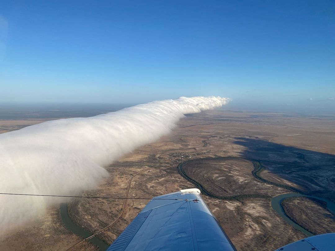
Image: The Morning Glory cloud seen near Burketown on October 17, 2020. Source: @weatherbywill / Instagram
While the Morning Glory can form in several ways, the most common method starts with clouds developing over Queensland’s Cape York Peninsula when daytime sea breezes clash into each other, forcing air to rise. At night, this air descends again and under the right conditions, the descending air can be forced to flow towards the west and travel underneath a temperature inversion over the Gulf of Carpentaria. This setup can trigger the undular bore that allows roll clouds to be seen travelling from east to west over the Gulf the following morning.
Burketown has become famous for its regular views of the Morning Glory cloud. It's also a popular spot for glider pilots, who flock to the region during the build-up months (around September to November) to glide on the rising air at the Morning Glory’s leading edge.
Roll clouds created by undular bores also form in other parts of the world, including the one seen passing over the Arabian Sea in the image below.
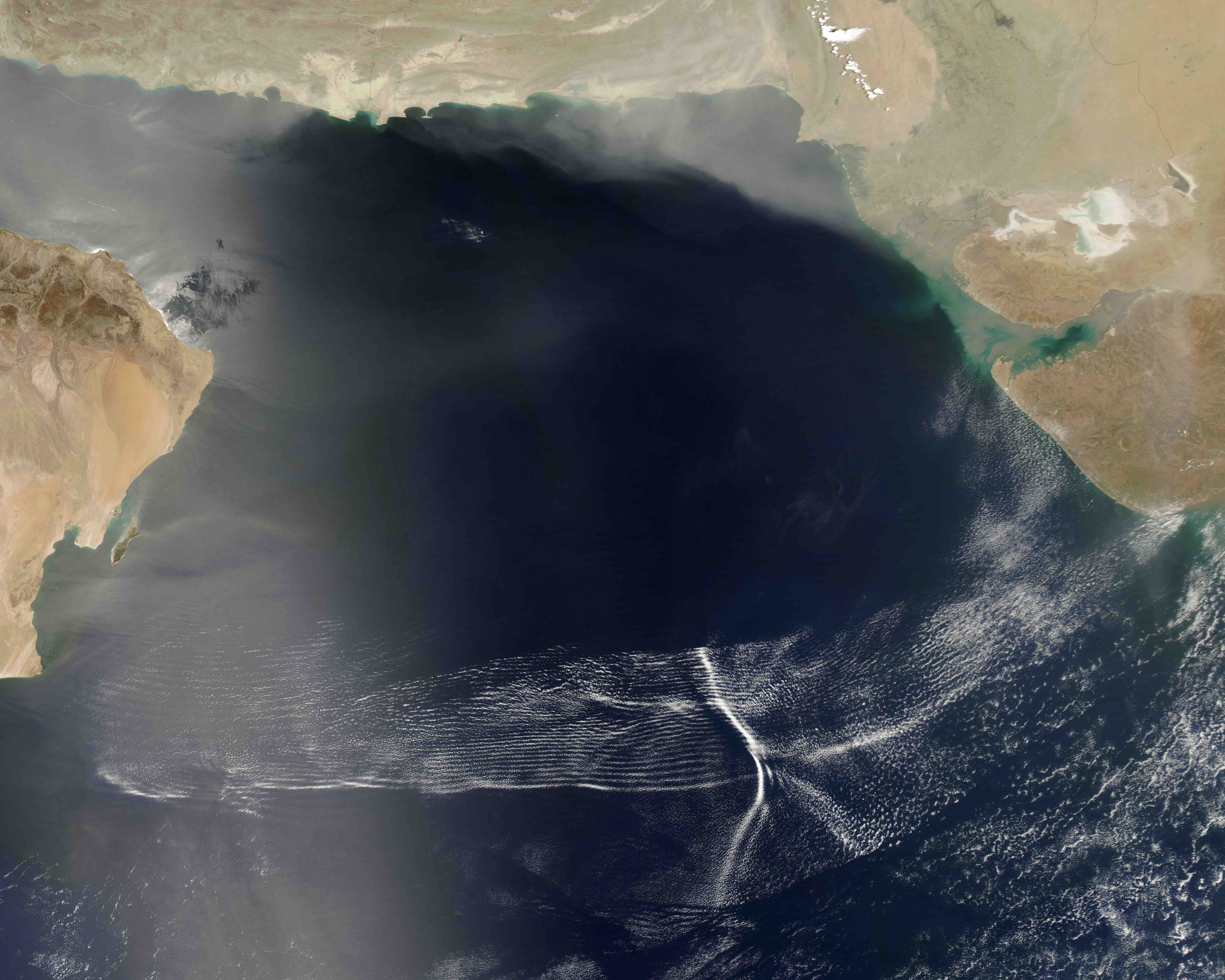
Image: Roll clouds over the Arabian Sea on May 8, 2007, captured by the NASA’s Aqua satellite. Source: NASA