More storms in eastern Australia today
A second day of severe thunderstorms will hit parts of Queensland and NSW today, with large hail, damaging wind and heavy rain all possible in both states.
On Monday, a low pressure trough interaction with moisture-laden air and an unstable atmosphere produced some spectacular and dangerous thunderstorms over eastern Australia.
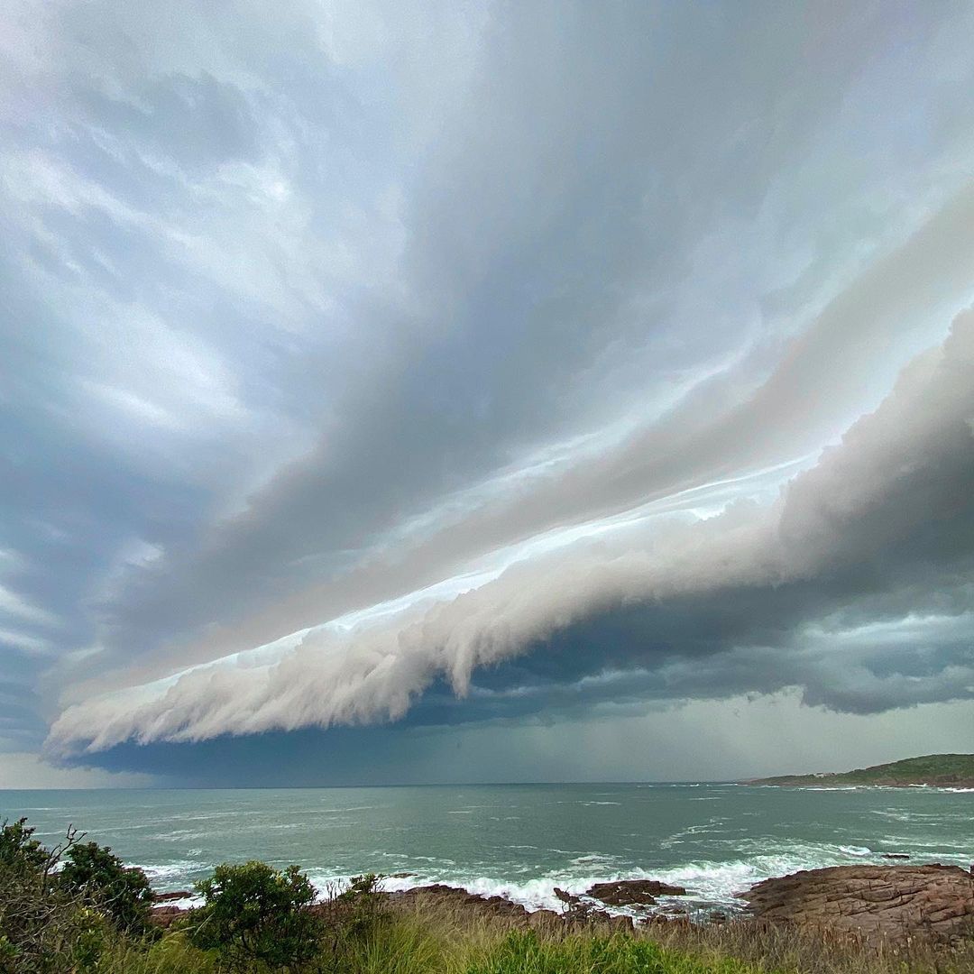
One of Monday's severe storms rumbled over Newcastle and Port Stephens in central NSW during the afternoon, shortly after causing a wind gust of 95km/h and 24mm of rain in 20 minutes at Maitland Airport.

Image: A shelf cloud preceding a severe thunderstorm at Port Stephens, NSW on Monday afternoon. Source: @kerrieannewaters / Instagram
Further north, multiple storms delivered accumulated rainfall totals of over 50mm in parts of northeast NSW and southeast Queensland between Monday afternoon and Tuesday morning. This included 52mm at Moree, which was its heaviest rain in four years, and 116mm at Uki in the Tweed Valley.
The weather pattern that triggered Monday's wet and stormy weather (trough, moisture and instability) will remain in place today. As a result, we are going to see more dangerous thunderstorms over parts of NSW and Queensland.
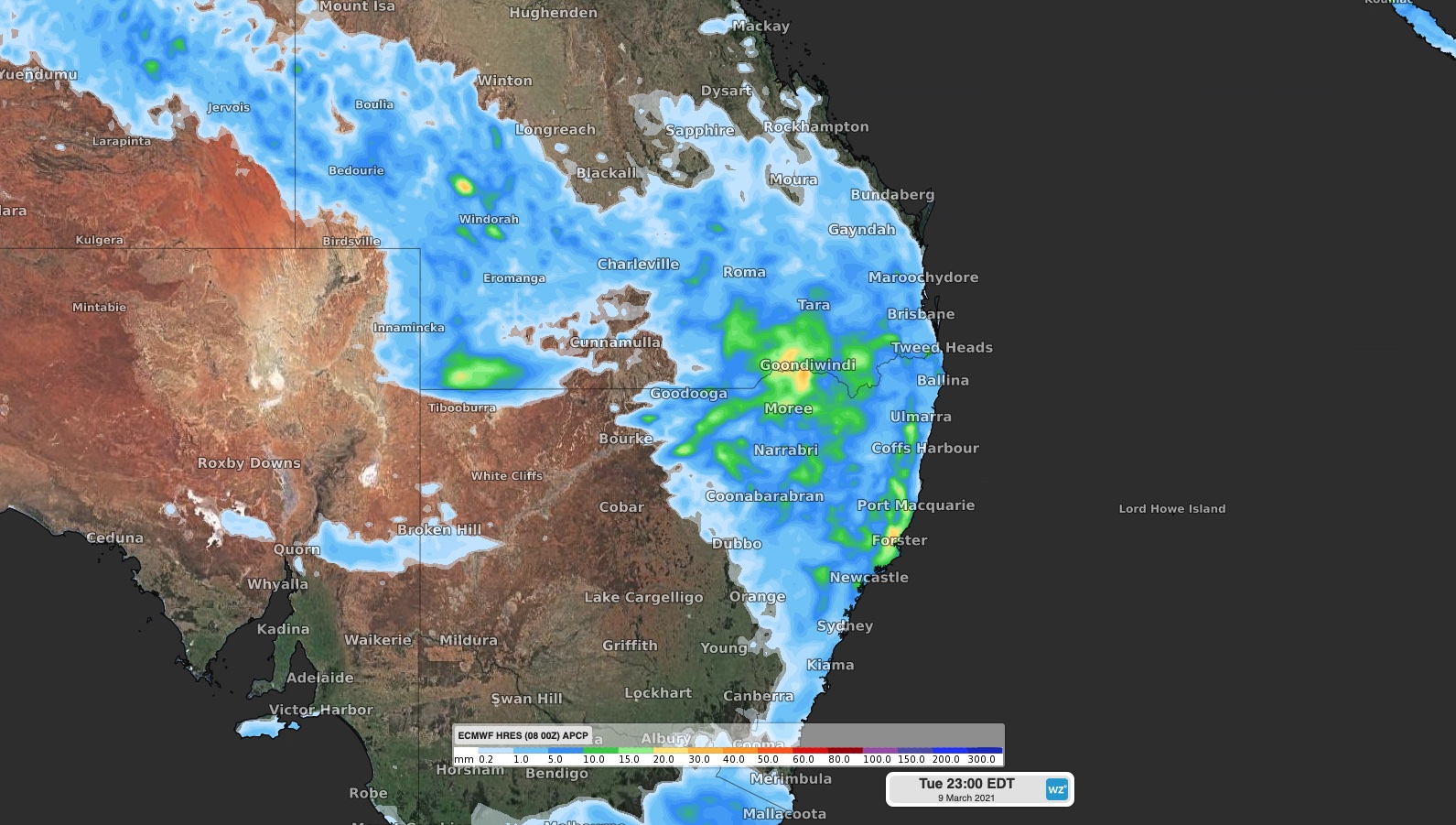
Showers and thunderstorms are likely to develop over a broad area of eastern Australia today, covering parts of central and northern NSW and southern and western Queenlsnad.

Image: Forecast accumulated rain on Tuesday, March 9, showing the general area that's expected to see showers or thunderstorms.
The most active region for storms today, and the area most likely to see severe storms, is northeastern and northern inland NSW and the southern/southeast inland of Queensland.
Showers and storms are possible in Sydney and Brisbane today as well, although most likely in western parts of both cities.
Keep up to date with severe thunderstorm warnings throughout Tuesday for the most up-to-date information.