
More rain to hit NSW this weekend
More rain is on the way for NSW today and this weekend, just days after parts of the state’s west picked up their heaviest rain in several years.
Over the last two days, a mass of tropical moisture has swept over western NSW and caused widespread and heavy rain. Wilcannia’s 51 mm during the 24 hours to 9am on Wednesday was its heaviest daily rain in three years. Further south, Menindee collected 42 mm in the same period, which was its best rain since 2018.
This rain will spread further east on Wednesday, with another 10 to 40 mm likely to fall over a broad area of the state’s central and northern interior. The satellite image below shows the thick cloud still covering much of NSW on Wednesday morning.
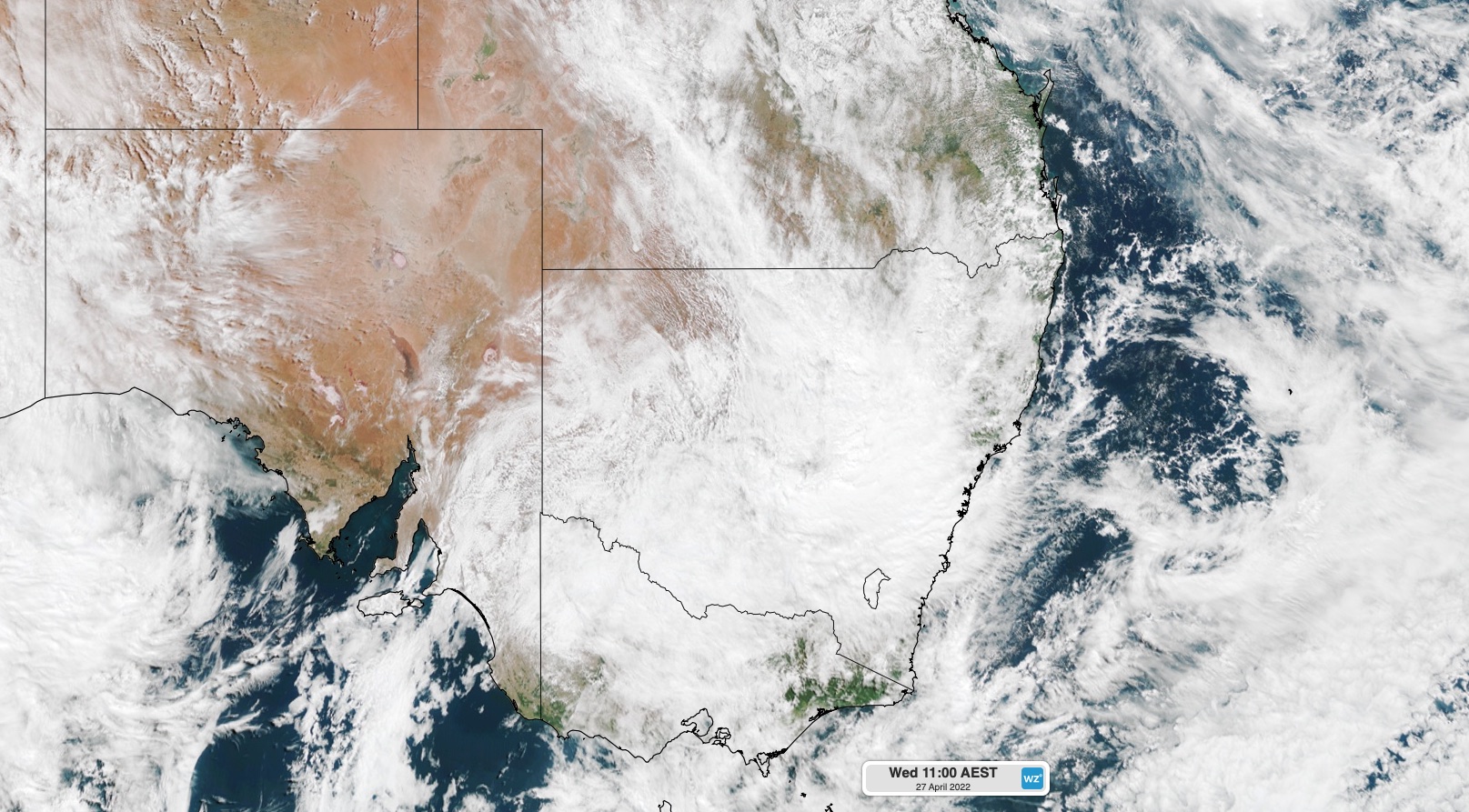
Image: Visible satellite image captured at 11am AEST on Wednesday, April 27.
Rain will start to ease over NSW on Thursday as a low pressure trough weakens over eastern Australia. However, another round of wet and stormy weather is already looming on the horizon.
Tropical moisture interacting with a fast-moving cold front and low pressure trough will cause a band of rain to spread over NSW from west to east between this Friday night and Sunday morning.
This next rain-bearing cloudband could bring another 5 to 20 mm to most districts of NSW by Sunday morning. Some areas could even see more than 50 mm of rain falling within 24 hours, particularly with thunderstorms. The map below shows how much rain one computer model is predicting on Saturday alone.

Image: Forecast accumulated rain during the 24 hours ending at 10pm AEST on Saturday, April 30, according to the ECMWF-HRES model.
This weekend’s rain has the potential to cause localised areas of flooding and road closures, particularly in areas that have already seen heavy falls during the past few days. Be sure to keep an eye on the latest forecasts and warnings across NSW during the next few days, particularly west of the ranges.
Looking ahead, drier weather should return to most of NSW from Sunday into the start of next week as a high pressure ridge moves in behind the front.