Lightning, hail hit NSW Central Coast and Newcastle
A series of small but intense thunderstorms swept over the Central Coast and Newcastle area in NSW on Friday, producing heavy rain, copious lightning and hail.
The thunderstorms formed near a southerly change that swept up the NSW coast on Friday, causing cold air to undercut warmer air, forcing the warm air to rise and produce storms.
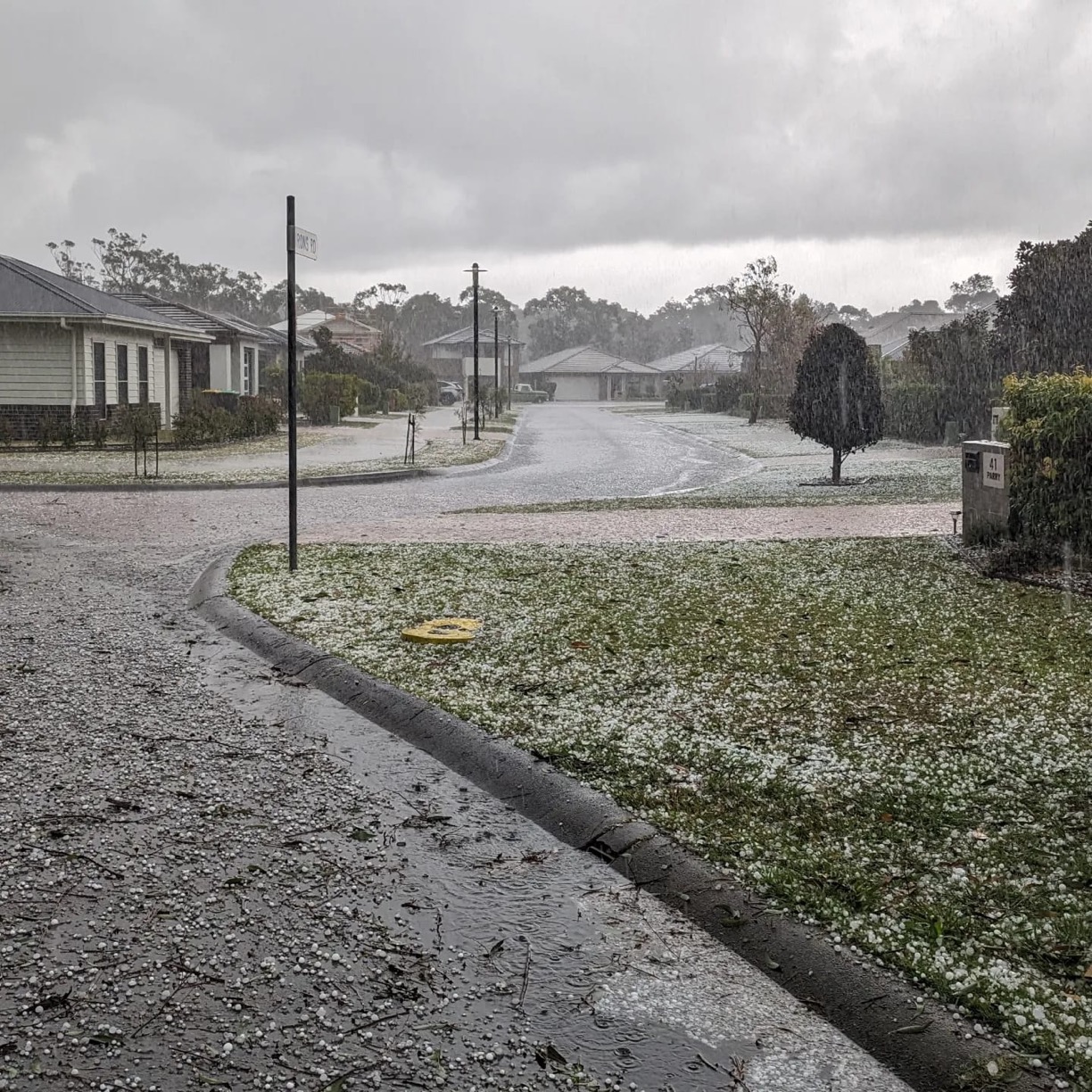
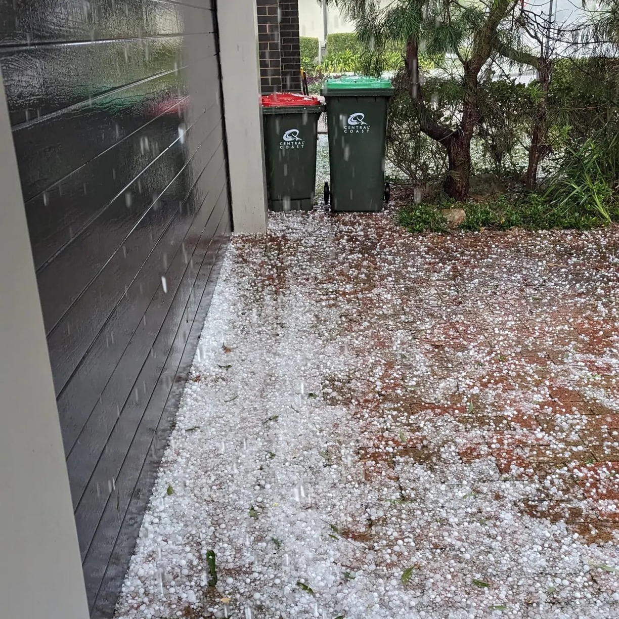
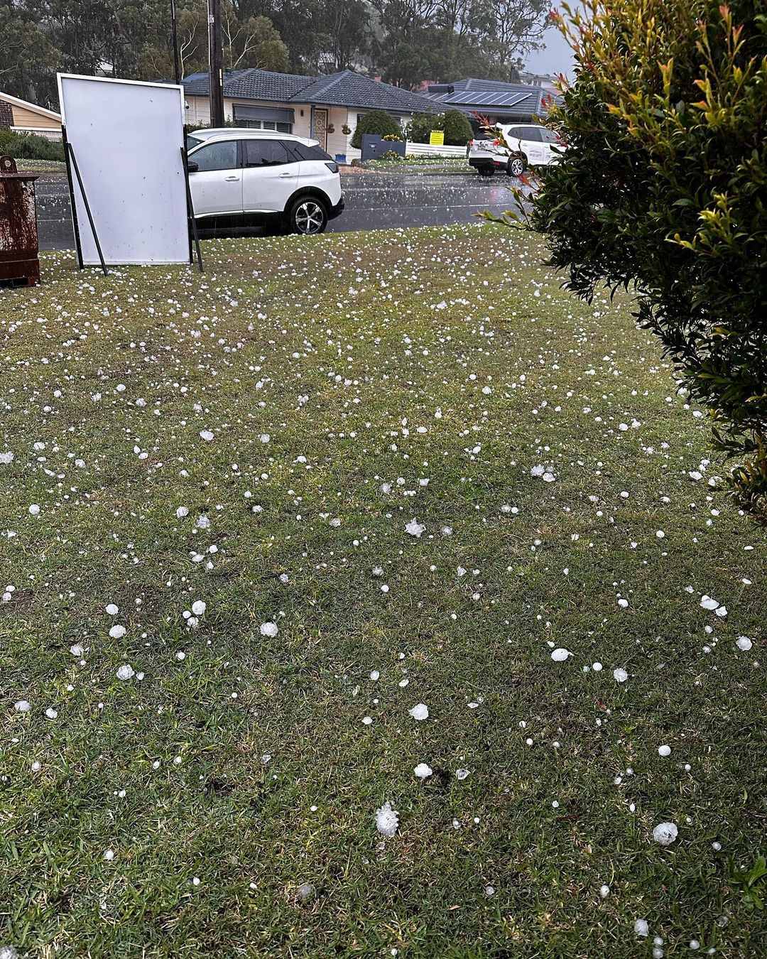
The first intense thunderstorm of the day formed near Gosford around 10:30am and continued to gain strength as it moved north towards Tuggerah Lake. By the time it reached Wyong around 11am, the storm was producing heavy rain and lots of hail.


Images: Small hail in Wyong, NSW on Friday, May 26. Source: @phil.rides.mtb / Instagram
Further north, another storm cell hit Newcastle at around midday, producing more heavy rain and hail. There were also reports of a waterspout off the coast near Newcastle. This storm prompted the Bureau of Meteorology to issue a warning for large hailstones.


Images: Large hail in Newcastle, NSW on Friday, May 26, 2023. Source: @becksta18 / Instagram
Storms will continue to move further north into Friday afternoon as the southerly change continues to make its way up the NSW coast.
Be sure to check the latest warnings for the most up-to-date information in your area.