
High and dry for much of Australia this week
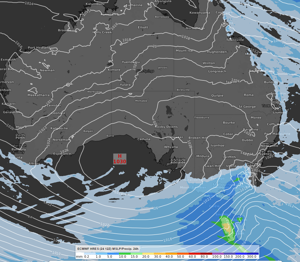
High pressure will be the dominant feature for much of Australia this week, limiting any significant rainfall.
Western parts of Tasmania are expected to receive the highest accumulated rainfall in Australia from Tuesday to Friday. Between 15 and 50mm may fall across the region with a weak low pressure trough and cold front passing through on Thursday and Friday. The same system may bring a few light showers (less than 10-15mm) to southern and eastern Victoria.
Onshore winds and weak coastal troughs may bring the odd light shower to coastal areas of northeast New South Wales and Queensland over the next few days. Coastal areas between Townsville and Cooktown could receive 5-10mm of rain.
24 hour accumulated rainfall from 10pm EST on Wednesday 26th to 10pm EST Thursday 27th August 2020. The forecast rainfall is shown using the ECWMF model.
Limited rain this week is unlikely to help most capitals reach their August average, with many sitting well below average. Only Melbourne, Hobart, and Canberra have already exceeded their August average rainfall.
A cold front should cross southwest Western Australia on Friday afternoon/evening bringing showers, although it is unlikely to bring the Perth August total (currently 90mm) to the August average of 122.4mm.