Here comes the snow season saver
Snow lovers, feast your eyes upon the cold front approaching eastern Australia which has the potential to save the disappointing 2023 Australian snow season.
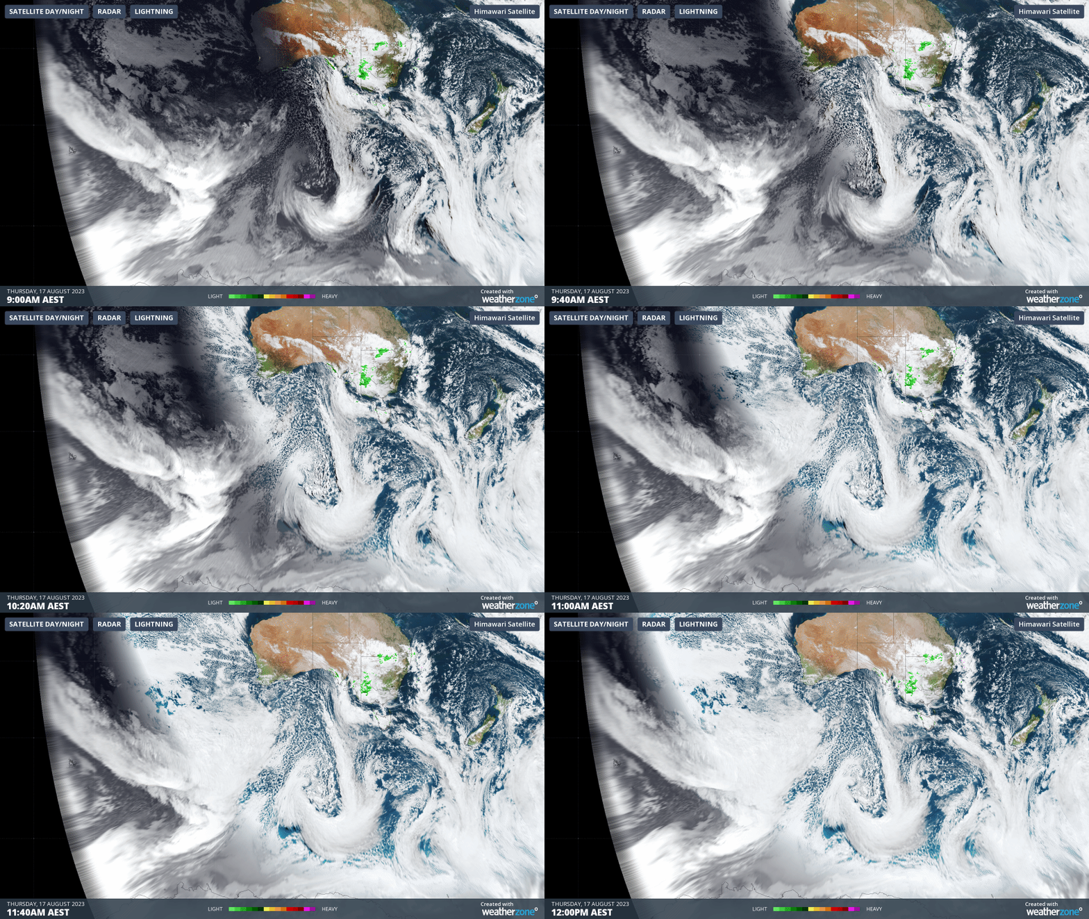
The three-hour loop below shows the trough and cold front over the Great Australian Bight between 9 am and midday Thursday, with a tongue of frigid speckled air extending northwards from Antarctica.

The trough and cold front will sweep over the southeast during Friday, likely delivering fresh snow totals of around 20 cm, and perhaps up to 30 cm, to the alpine resorts of New South Wales and Victoria, followed by a cold and unstable airmass. Elevated parts of Tasmania are also in line for solid snowfalls.
Earlier this week, it appeared possible that totals of up to 50 cm could be recorded in this system.
However the cold front and the troughs preceding it are quite fast-moving, so while snowfall could be intense at times on Friday, a drying trend sets in quickly on Saturday.

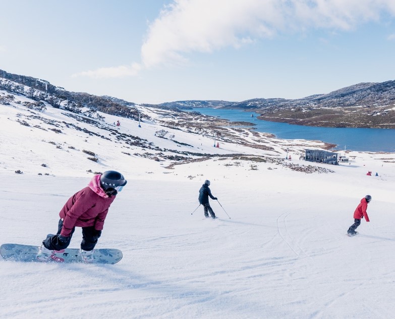
Image: This pic sums up the season right now at higher resorts like Falls Creek. Many popular slopes are still in reasonable condition, but it's patchy down low and on sun-facing slopes, and more snow is needed. Source: Falls Creek Instagram.
Is 20 to 30 cm enough to save the season?
To be perfectly blunt, this system may not quite be the answer to everyone's prayers and snow dances, but it'll definitely make a difference for the better.
Lower resorts with grassy slopes like Selwyn Snow Resort in NSW and Mt Baw Baw in Victoria only need as little as 10 to 15 cm of fresh snow to open many of their runs.
As we told you on Tuesday, Selwyn has been closed since early August, but has put its faith in this front and plans to reopen Saturday. For them, it’s a potential season saver.
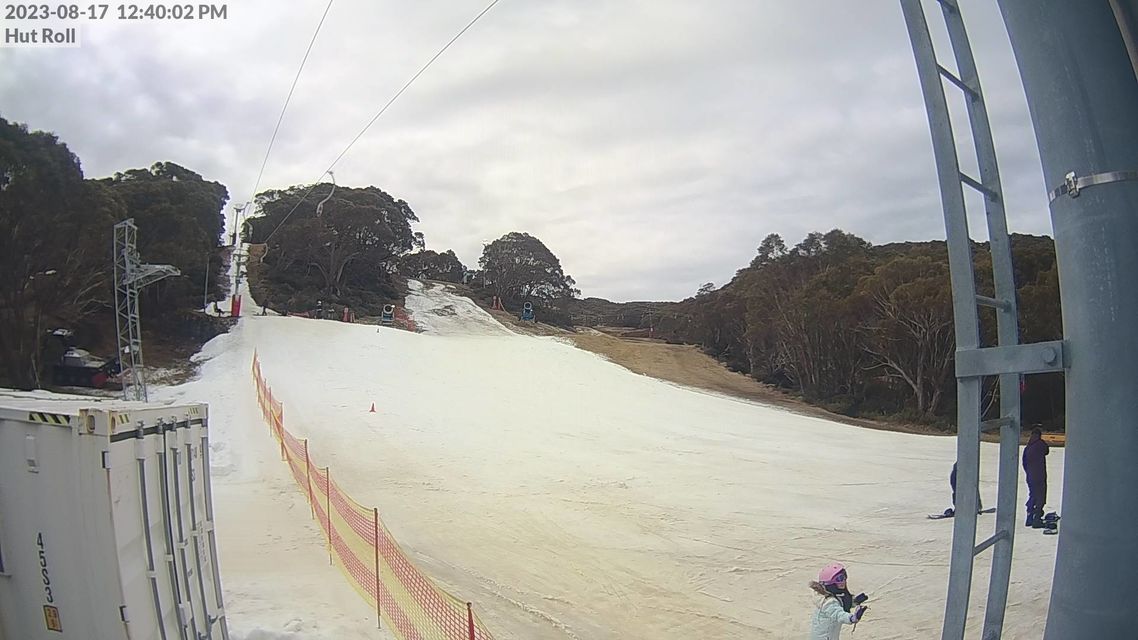
The same could be said for Mt Baw Baw in Victoria, which is currently is operating lifts on an extremely limited capacity in areas with machine-made snow.

Image: Baw Baw should get a handy top-up on Friday. Source: Ski.com.au.
Both Baw Baw and Mt Buller, as Victoria's two southernmost resorts, should be advantaged by the southwesterly flow associated with this system – as both resorts tend to receive their best snowfalls from winds with a southerly (rather than a westerly) aspect.
Higher resorts which still have the majority of their lifts open despite a moderate cover – like Perisher and Thredbo in NSW, and Falls Creek and Hotham in Vic – will see an immediate improvement in snow surface conditions but probably not a huge change to the overall picture.

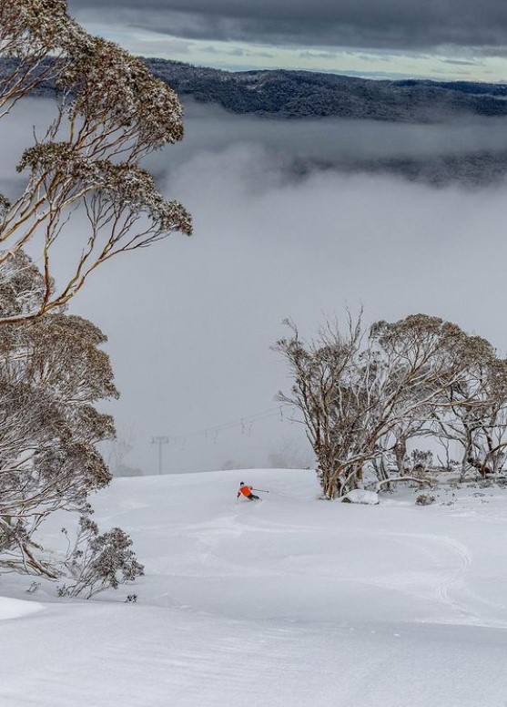
Image: Some upper slopes of Thredbo are in a pretty sweet state despite moderate snowfalls to date in 2023. Source: Thredbo Instagram.
Realistically, a fall of 50 cm or more would be required to fill in the holes and cover some of the larger rocks on advanced runs that are currently closed. That seems unlikely from Friday's system. But there's no doubt that whatever does fall will help prolong the season in the areas which are currently open.
Keep your fingers crossed and remember to check our snow page for the latest cams, forecasts, and more. You can also check resorts conditions at Thredbo, Perisher, Charlotte Pass, Selwyn (NSW) and Mt Buller, Hotham, Falls Creek and Mt Baw Baw (Vic).