Here comes the snow, Australia
Two big bouts of fresh snow could cover the Australian Alps during the next 10 days, possibly adding one metre of fresh cover at some of the county’s main ski resorts.
Despite a few good snowfalls in southeastern Australia during May, the opening fortnight of June has seen lacklustre snow cover due to an absence of strong early-winter cold fronts.
However, this could change in the second half of June, with a series of cold fronts about to deliver multiple rounds of cold air and snow to Australia’s alpine region.
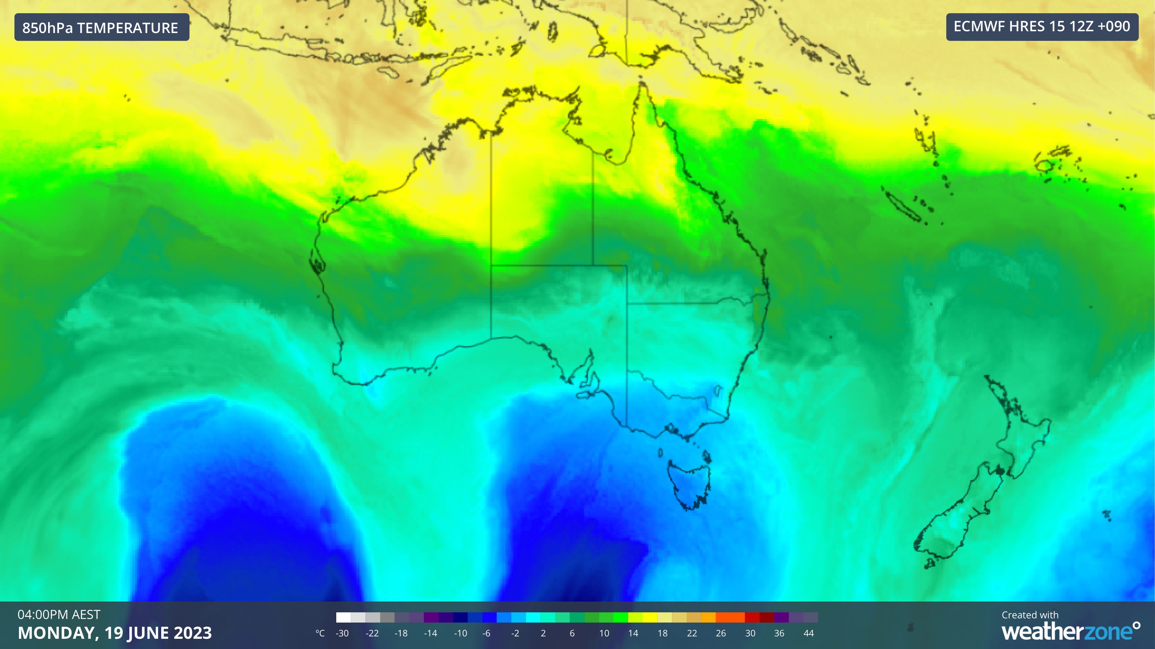
The first upcoming cold front will dump snow across the Alps on Sunday before another trailing front delivers some follow-up snow on Monday. These two systems combined should bring around 20 to 40cm of snow by Tuesday next week.

Image: Forecast 850 hPa temperature at 4pm AEST on Monday, June 19.
This pair of snow-bearing cold fronts will be followed by a few dry days and cold nights beneath a high pressure ridge. This dry and cool spell will provide ideal conditions for artificial snowmaking through the middle of next week.
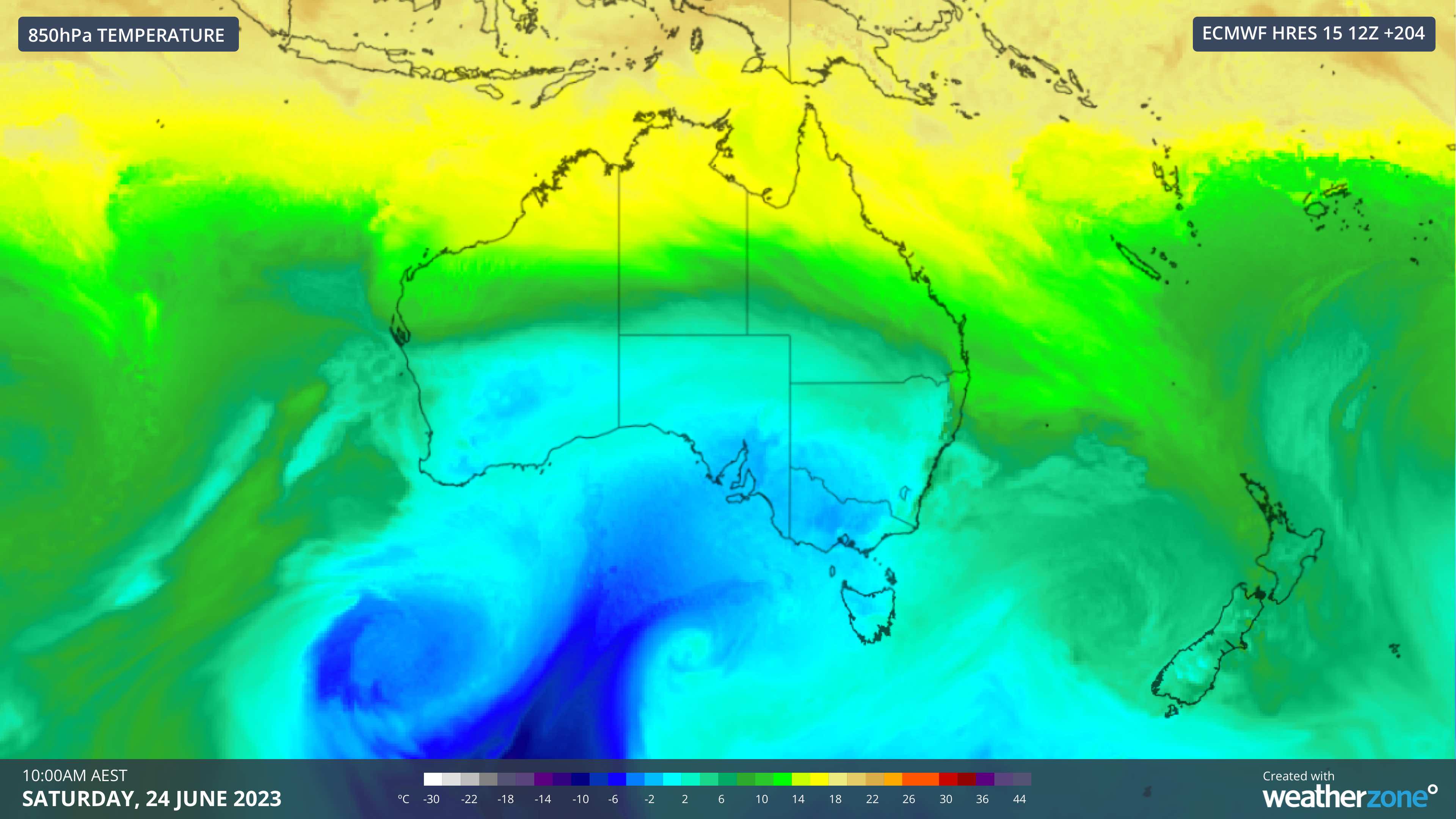
Looking further ahead, there are early signs that another flurry of cold fronts may cross southern and southeastern Australia towards the end of next week. At this stage, these fronts are expected to deliver more snow from Thursday June 22 into the weekend.

Image: Forecast 850 hPa temperature at 10am AEST on Saturday, June 24.
There is currently too much model uncertainty to know how much snow will fall towards the end of next week. However, some models suggest that 40 to 80 cm of snow could hit the Alps between Thursday June 22 and Sunday June 25.
Weatherzone’s meteorologists will be keeping a close eye on these upcoming systems and providing regular updated on the Weatherzone News feed in the next could of weeks.