Gold Coast roads submerged after deluge
Extremely heavy rain has fallen overnight on Queensland’s Gold Coast, with over 150mm in little more than 12 hours recorded at Coolangatta.
- A total of 154.8mm was recorded in the 24 hours to 9am.
- That brought the running total to 336mm for November 2024 to date, which is getting up towards triple the November monthly average of 120.7mm.
Several roads were awash on Friday morning, especially in southern parts of the city, where locals posted images on social media of swift water crossing low-lying roads.
GC WEATHER | It’s been a wet and wild night for parts of the Gold Coast, who have been smashed by over a month's worth of rain in just a few hours ????️ LATEST DETAILS: https://t.co/1lZDKZam87
— 1029 Hot Tomato (@1029) November 21, 2024
Heavy rain over parts of Queensland in the last few days has been caused by a high pressure system centred over the Tasman Sea which has been driving a deep layer of moisture-laden easterly winds towards Queensland.
This moisture interacted with an upper-level trough and numerous surface-based troughs to cause areas of heavy rain and thunderstorms.

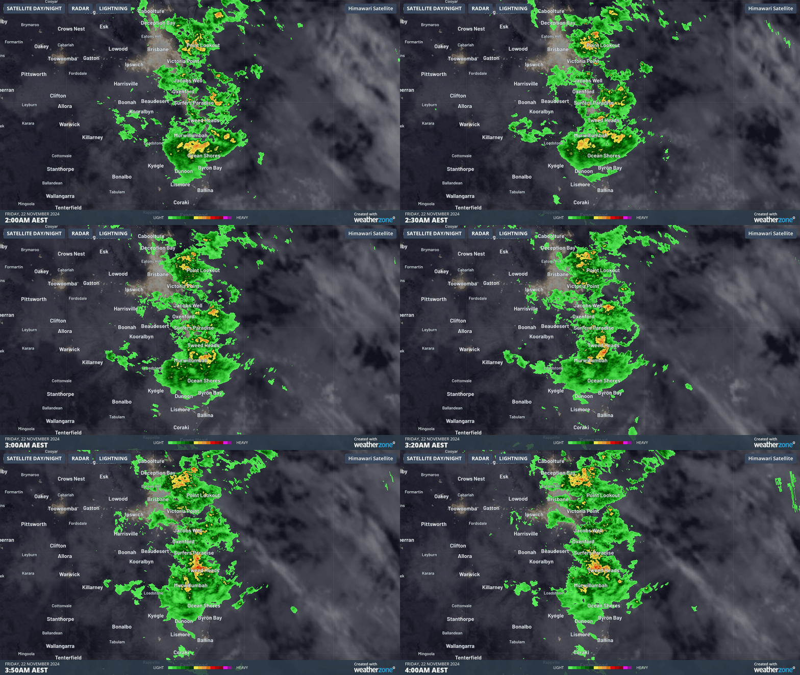
Image: Radar over southeast Queensland between 2am and 4am, Friday November 22.
As you can see on the two-hour radar loop above, rain was particularly heavy over the southern Gold Coast (the red and yellow blobs) between 2am and 4am local time, indicating storms.
Indeed, 53.6mm of rain was recorded in that two-hour block at Coolangatta.
Meanwhile some other parts of Queensland have recorded remarkable rainfall totals in the last day or so.
- The Lesdale weather station, just out of Charleville, received a whopping 185mm in the 24-hours to 9am Thursday.
- Charleville itself copped a 92.8mm soaking – more than double its November monthly average in a day.
Charleville, in southern Queensland’s Maranoa and Warrego forecast district, is situated about 800km inland, and indeed is closer to the SA border than the Queensland coastline.
Such heavy rain so far inland reflects the current high moisture levels in the atmosphere over Queensland, and as you’d imagine, there was flooding in the region.
There were also falls in the vicinity of 200mm at South Mission Beach (nearly Tully in the tropical north).

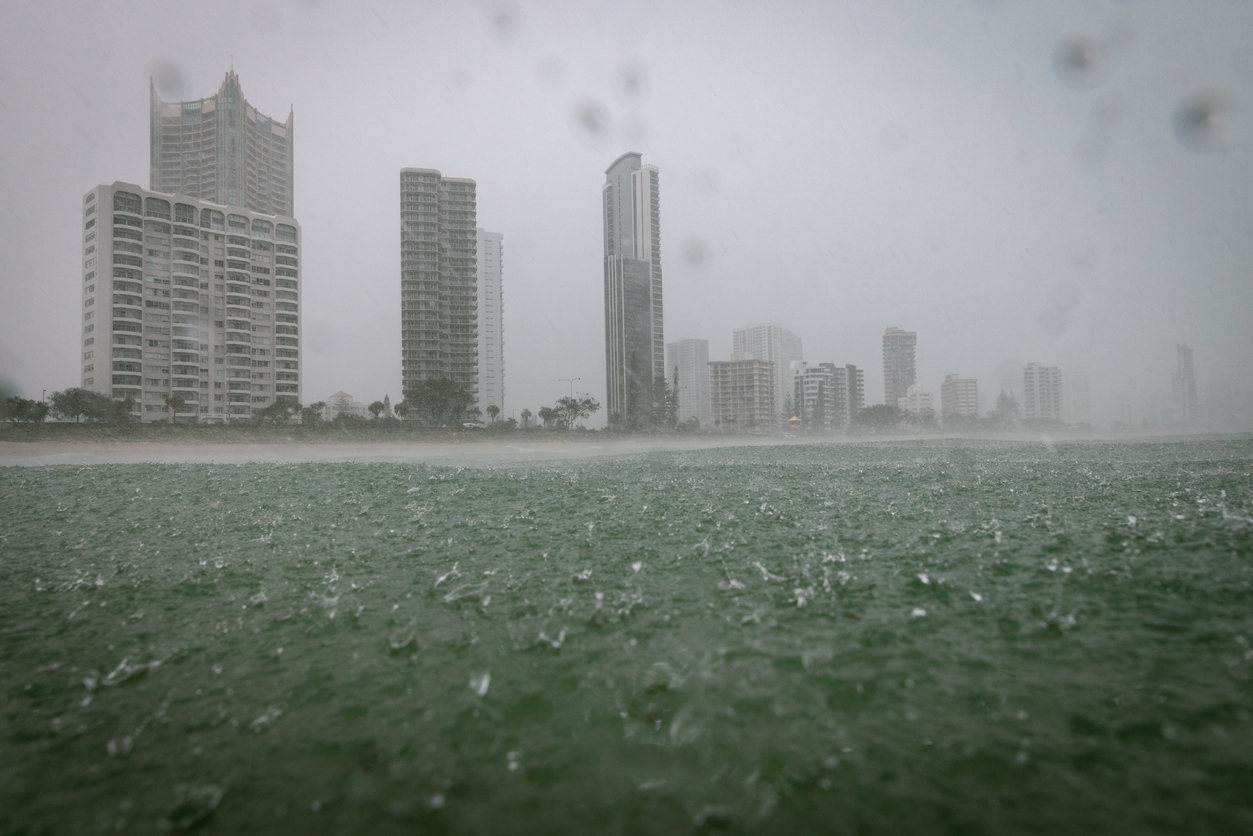
Image: They don't put pictures like this in the Gold Coast tourist brochures. Source: iStock.
Rain is set to ease slowly over the weekend in most parts of Queensland as the high drifts further into the Tasman Sea and the influence of the upper-level trough starts to wane. The exception – as is common at this time of year – is the far north, where showers will continue.