
Frozen dew or frost?

Snow isn't the only winter wonder we'll be seeing more of over the next few months. Frozen dew and frost will also become a more common sight, but what is the difference between the two?
Before we answer that we first need to remind ourselves of the dew-point - the temperature at which saturation occurs. As surfaces cool below this temperature, water vapour in the air begins to condense on them. This is known as dew.
Frozen dew is simply dew that freezes, due to the air temperature reaching or dropping below freezing. Dew, and thereby frozen dew, is most likely to form on blades of grass and other objects near the surface as this is usually where the coldest air is found.
Whereas frozen dew goes from initially water vapour in the air, to liquid (dew droplet) and then to ice (frozen dew), frost goes straight from water vapour to ice.
Frost forms when the dew-point temperature is at or below freezing, meaning any water vapour skips the liquid phase and goes straight to ice, a process called deposition. Frost, white frost and hoarfrost all refer to the white crystals of ice that form in this way.
Both frozen dew and frost are more likely to form on nights where skies are clear and wind is either very light or calm. Clear skies allow rapid cooling of the Earth's surface and calm winds mean little to no mixing of the air, meaning the coldest air will be at ground level. It follows then that both frozen dew and frost are associated with high pressure systems, where winds are lighter and skies generally clearer.
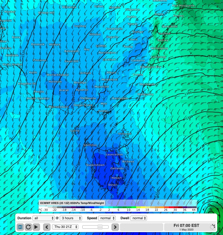
A cold airmass behind a cold front over the southeast at the end of the week. High pressure will build behind this.
In order for either of these to form however the air must be cold enough. An ideal setup would be for a strong cold front to move across a region, with high pressure building behind it. The cold front would introduce a very cold airmass, with the high pressure behind leading to clearer skies and light winds - something that will happen over southeastern Australia from midweek this week.