Flights grounded after 40,000 lightning strikes surround Melbourne
Severe thunderstorms are expected to impact Victoria on Wednesday, following a flurry of dangerous thunderstorms that caused delays at Melbourne Airport on Tuesday.
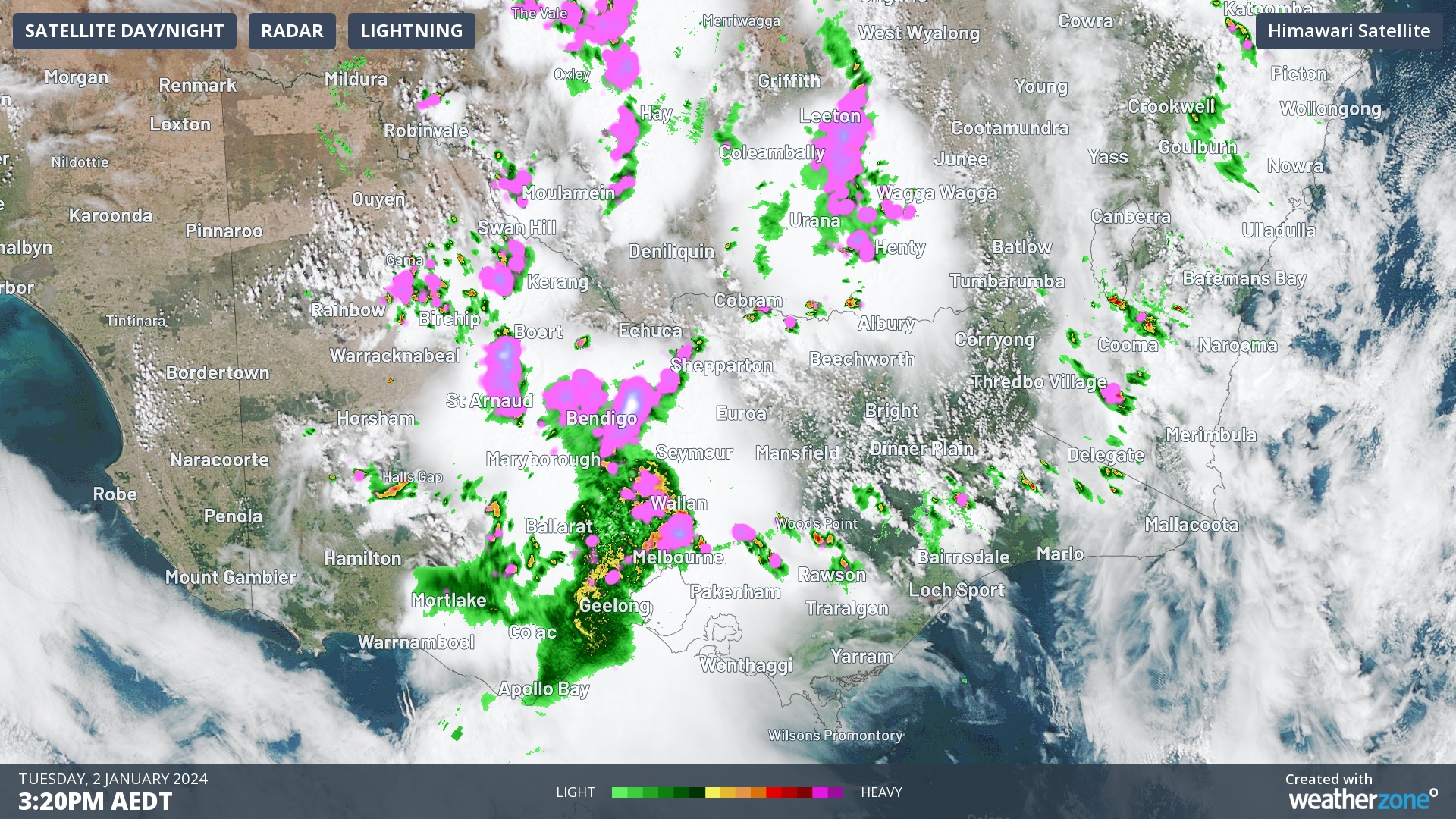
Tuesday's thunderstorms brought heavy rain, damaging winds and large hail to parts of Victoria as a low-pressure trough moved across the state. This included a wind gust of 104 km/h at Wangaratta, large hail in Bendigo and 26 mm of rain in 10 minutes at Coldstream. The storms also caused about 40,000 lightning strikes within 100km of Melbourne on Tuesday.
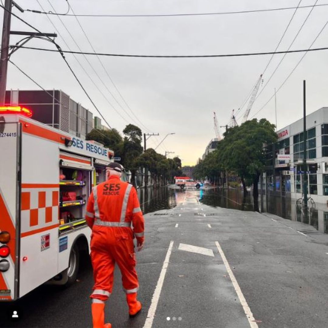
The images below shows the thunderstorms rolling into Melbourne Airport and the flooding they caused in Essendon, Fawkner and Benalla on Tuesday afternoon.


Images: Radar, satellite and lightning from Tuesday afternoon (top), and flooding in Vic on Tuesday. Source: VicEmergency
The heavy rainfall at Melbourne Airport meant that passengers could not disembark their flights and baggage handlers could not unload or load baggage.
Ground operations at airports are typically halted when lightning is within 5km of the airport, which caused multiple delays and cancellations at Melbourne Airport as storms passed through on Tuesday afternoon. The thunderstorms impacted the airport for an hour or so before airport operations resumed around 4:30pm.
The threat of severe weather in Victoria is still present, with severe thunderstorms possible across parts of the state on Wednesday.
Thunderstorms impacted southern parts of Vic on Wednesday morning and are expected to develop across some other parts of the state, possibly including Melbourne, in the afternoon.
Severe thunderstorms are most likely to form along the eastern ranges and the Gippsland this afternoon and evening, with heavy rainfall likely and damaging winds and hail also possible.
Looking ahead, thunderstorms will clear southern Vic on Thursday, however the threat of severe thunderstorms remains in the far northeast of the state.