First Aussie snowfall of 2023
Summer snow has fallen in the high country of NSW and Victoria, as temperatures plummeted below zero with the passage of a strong cold front overnight.
The front moved through the Victorian Alps late on Thursday night and reached the Snowy Mountains of NSW just after midnight. The result?
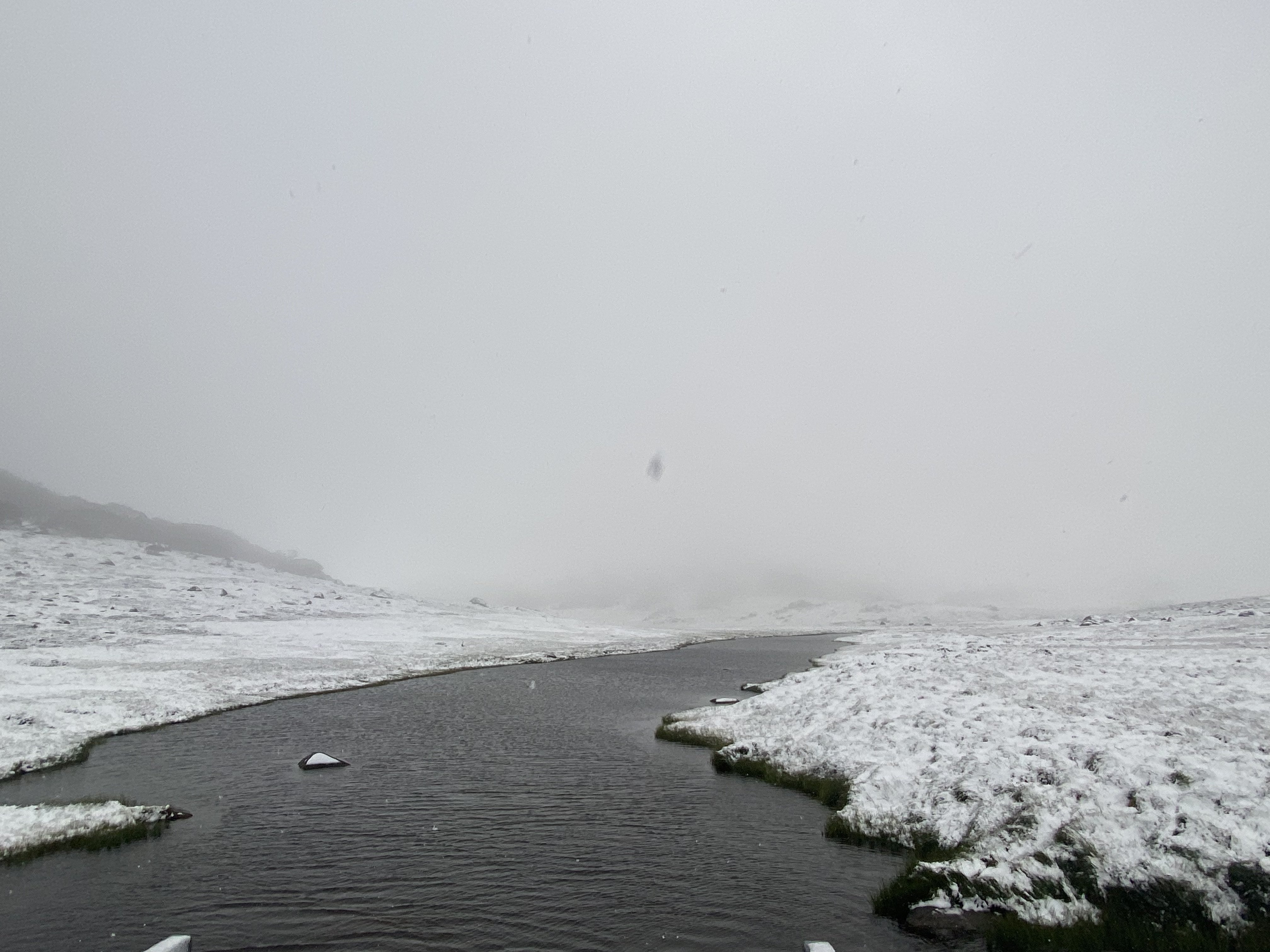
This.

Image: This is Spencers Creek between Perisher and Charlotte Pass, which regular readers of our snow stories will know as the place where official NSW snow depth measurements are taken. Source: Steve Smith.
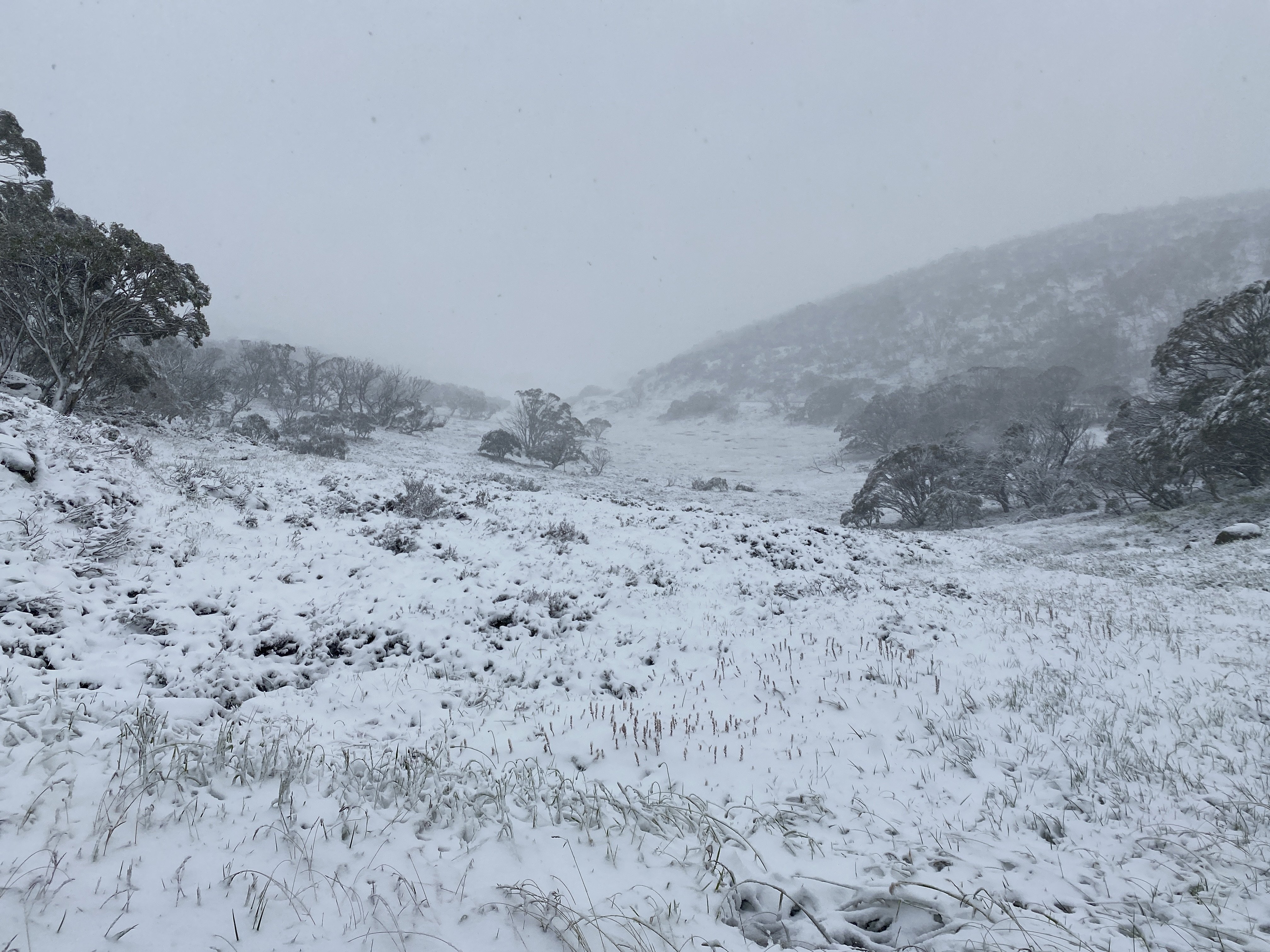
And this.

Image: The scene at the bottom of the Eyre T-bar at Perisher on Friday, Feb 3 2023. Source: Steve Smith.
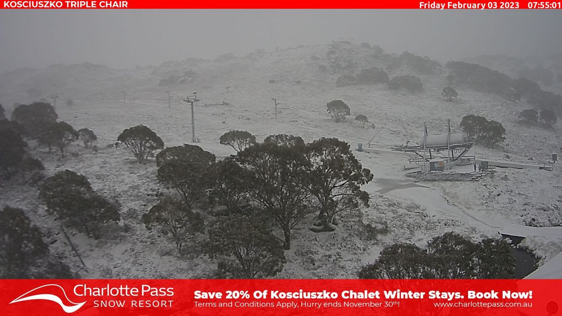
And this, which shows the date-stamped snow cam image at Charlotte Pass ski resort to prove that yes, this really is happening on February 3.

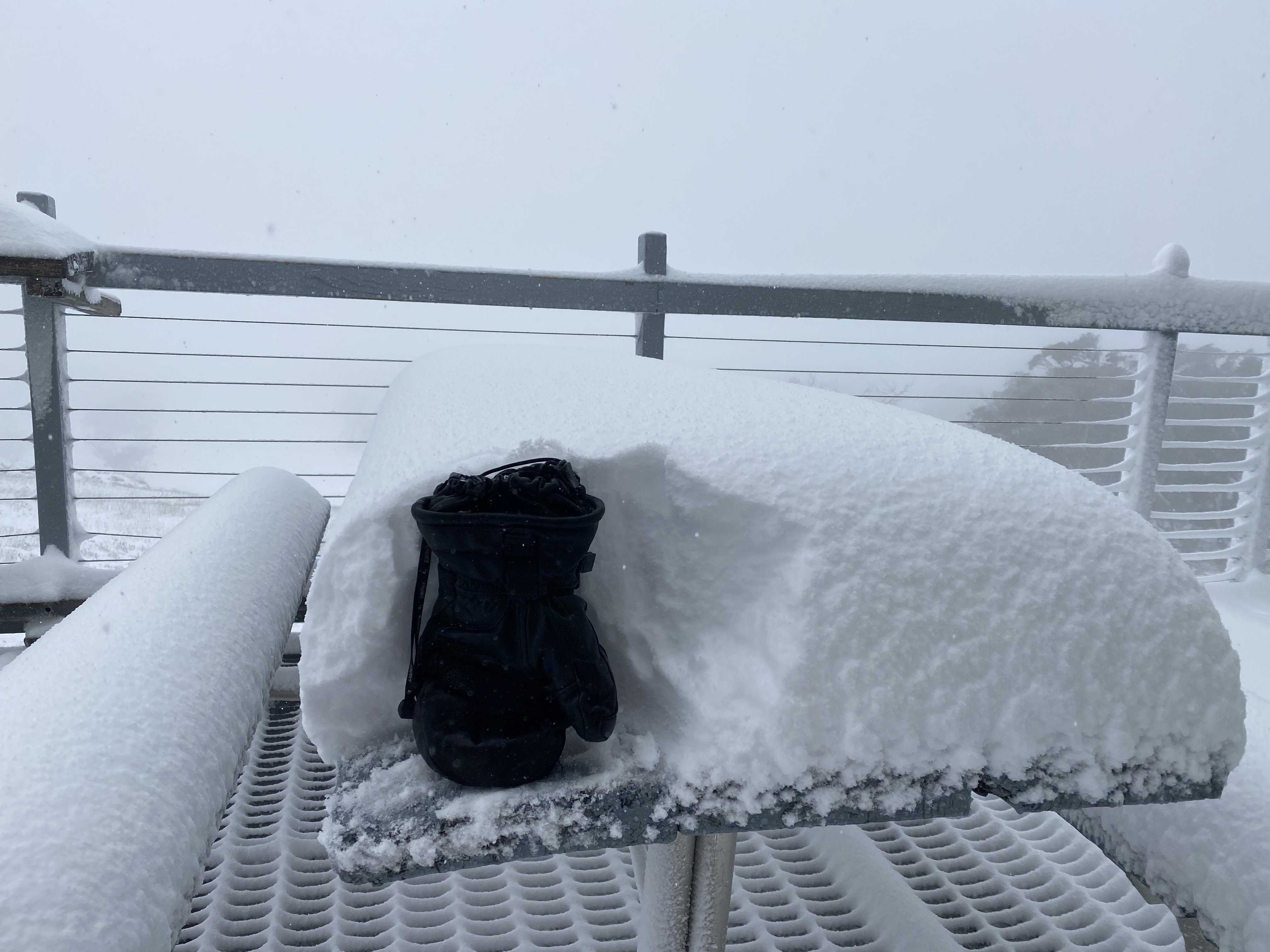
And this, which shows the depth in the lee of a building, where more snow builds up than the amount that actually fell.

Image: The old glove-o-meter and beer-can-o-meter are two of the most scientifically accurate snow-depth measures. Source: Steve Smith.
This unseasonable system has been on the charts since at least last Saturday and now that it's here, cool temperatures should stick around for the next 24 hours or so before a warming trend kicks in.
Maximum and minimum temps will be much lower than usual for this time of year in the southeast corner of the country, with both Melbourne and Canberra shivering their way to a top of just 17°C this Friday.
The cold air won't quite make it to Sydney, where a top of 31°C is expected for Friday, and the February chill won't get anywhere near Brisbane, which is currently sweating through a low-intensity heatwave.
As mentioned in our story yesterday, summer snowfalls in the Australian high country are not unusual, although they are historically more frequent in early December than late in the season.