Double burst of summer snow coming
Ah, summer. Lazy days in the sun by the beach, lake or river.
If relaxing by the water is in your plans and you're living in (or heading to) Tasmania, southern Victoria, and even southern New South Wales in the next week or so, you might need to find alternative activities, because two unseasonably cold outbreaks are coming.
Both of these systems should deliver summer snowfalls to elevated parts of the regions mentioned, and while snow accumulation likley won't be too heavy, temperatures will definitely be chilly by December standards.
- Snow is of course not unusual outside of winter in Tasmania and the Australian Alps. We wrote on November 21 that there had been at least six significant snowfalls in October and November this year.
- Such weather becomes much less likely in the summer months, but it can still occur when cool Southern Ocean air with polar origins pushes northwards.
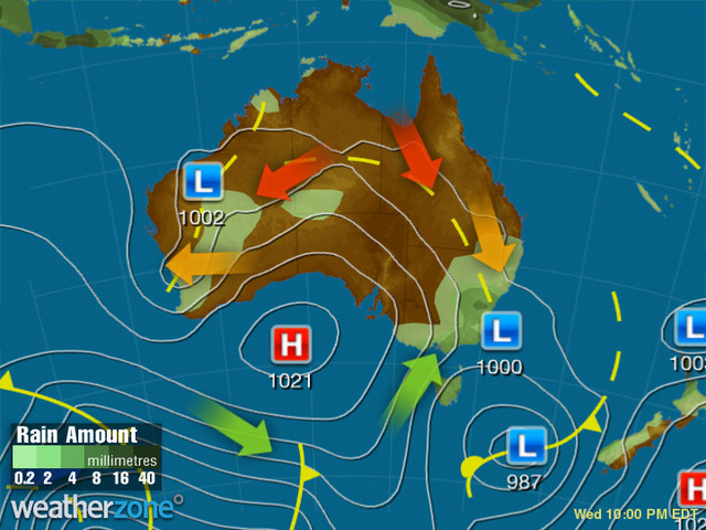
What's unusual about the coming week's weather is the double-pronged cold outbursts within a short timeframe. Here's the Wednesday evening synoptic chart.

And below is the chart for this coming Sunday evening, December 11.

As you can see, the two charts are very similar, although Sunday's chart has a low pressure system centred closer to Tasmania, which may result in a slightly stronger push of cold air to southern NSW than the first front.
In terms of the Wednesday evening system, we should see snow as low as 900 metres in Tasmania overnight, with a snow level of 700 metres early on Thursday.
We'll have a better handle on the snow level for the second system closer to its arrival, but you can expect cool December nights over a widespread area in the wake of both systems, with frosts in the mountains.
Again, this is unusual but not exactly rare for summer, and it indicates little in terms of the chances of extreme heat later in the season.
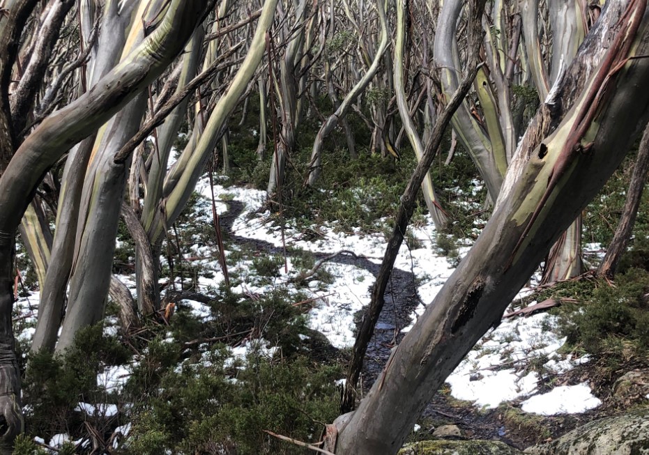
For example, your reporter took the following picture while hiking a trail lined with fresh summer snow near Mt Baw Baw in the Victorian high country on December 3, 2019, ahead of the so-called Black Summer – which ended up being Australia's second-warmest summer on record.

So rug up if you're down south – and that includes Melbourne, where a top temp of just 15°C is expected for Thursday. The good news is there'll be a brief warm surge on Sunday ahead of the next cool spell with maximums again languishing in the teens on Monday and Tuesday.