Colossal line of thunderstorms from Australia to New Zealand
A massive band of thunderstorms erupted above the Tasman Sea on Monday night, producing a line of lightning that stretched around 2000 km between Australia and New Zealand.
A cold front passing over the Tasman Sea on Monday night caused a mass of cool air moving up from the south to clash with warmer, moisture-laden air coming from the north.
This interaction of these opposing air masses created a corridor of atmospheric instability across the Tasman Sea, resulting in a massive band of thunderstorms from northeast NSW to the Upper North Island in New Zealand.
Video: Sequence of composite satellite and lightning images showing the long line of thunderstorms spreading across the Tasman Sea on Monday night.
Weatherzone’s Total Lightning Network detected more than half a million lightning strikes above the Tasman Sea during the 24 hours ending at 10am AEST on Tuesday.
Impressively, Monday night’s thunderstorms weren’t the only captivating feature produced by this weather system.
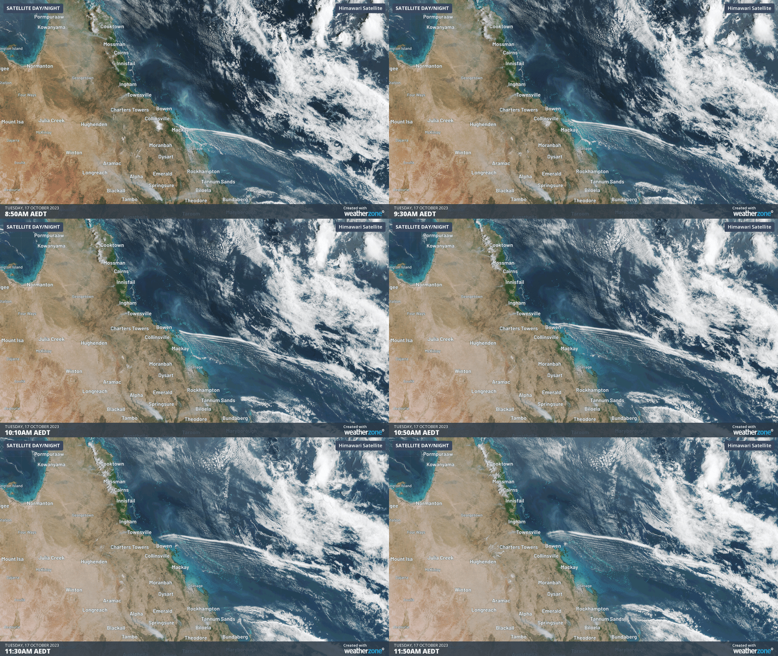
A southerly wind change sweeping up the Qld coast on Tuesday caused a series of long roll clouds across the Coral Sea. The roll clouds were so long they could be seen from space.
