Coldest cloud top on record

The coldest cloud top temperature ever observed by a satellite has been recorded over the Pacific Ocean.
Satellites passing over the western Pacific Ocean on the last day of November captured high resolution images of Typhoon Kammuri.
At the time, Kammuri was a category one typhoon located to the east of the Philippines, where it was generating powerful thunderstorms around its centre.
Numerous satellites captured infrared images of the typhoon on the final day of November, including Japan's Himawari-8 geostationary satellite and the U.S. NOAA-20 polar orbiting satellite.
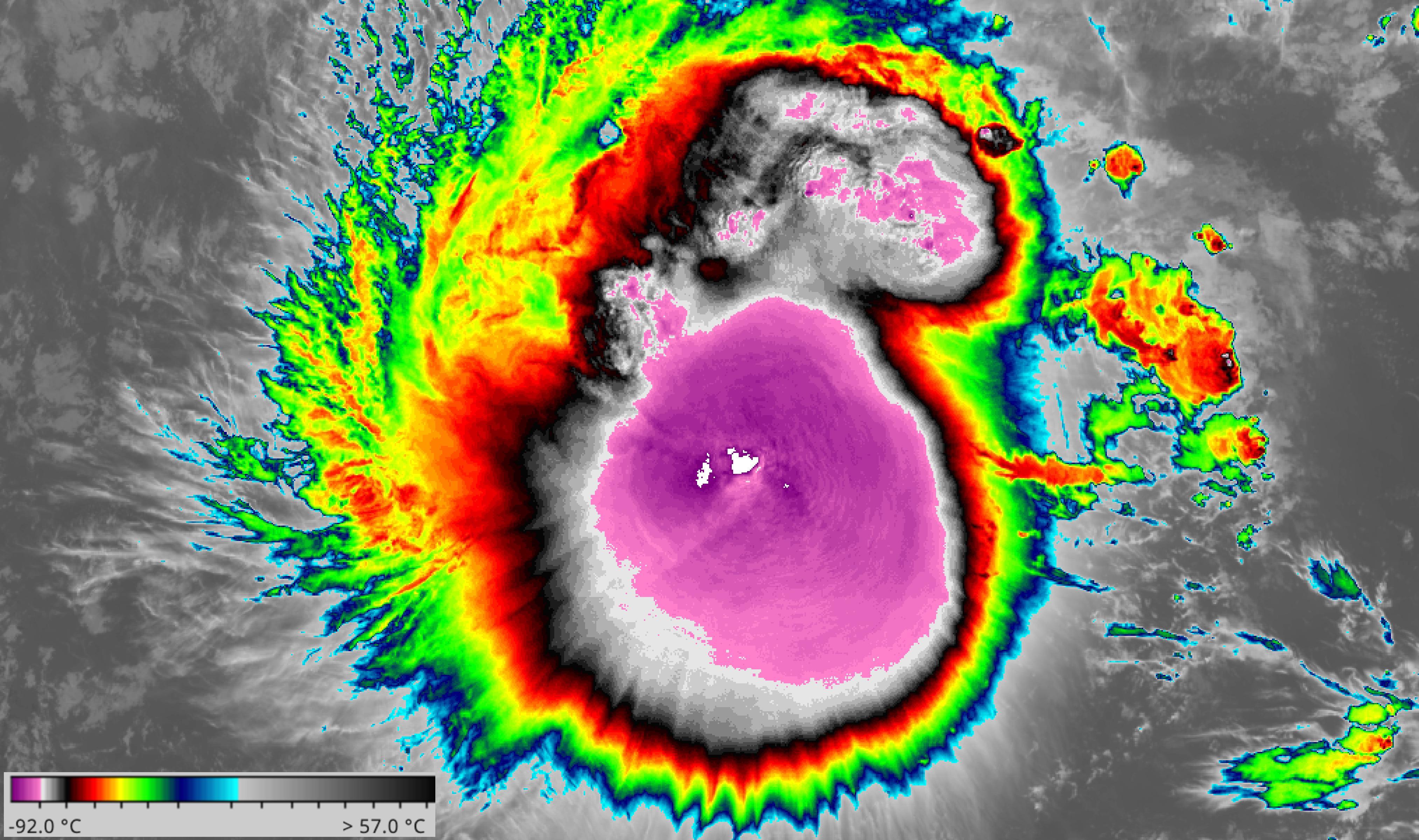
The infrared images captured by these satellites revealed that temperatures at the top of the towering thunderstorm clouds near Kammuri's centre were as low as -109.35ºC. This is the lowest cloud top temperature on record based on satellite observations.

Image: Himawari-8 infrared satellite image taken at 04:30 GMT on November 30th. Pink shading shows cloud top temperatures below -80 degrees Celsius. The white area in the middle is the coldest cloud tops, where temperatures were below -100 degrees. Source: NASA Worldview
Temperature readings taken by a weather balloon launched from the island of Palau on November 30th suggest that the altitude of Kammuri's exceptionally cold cloud tops was likely to be around 19.5km.
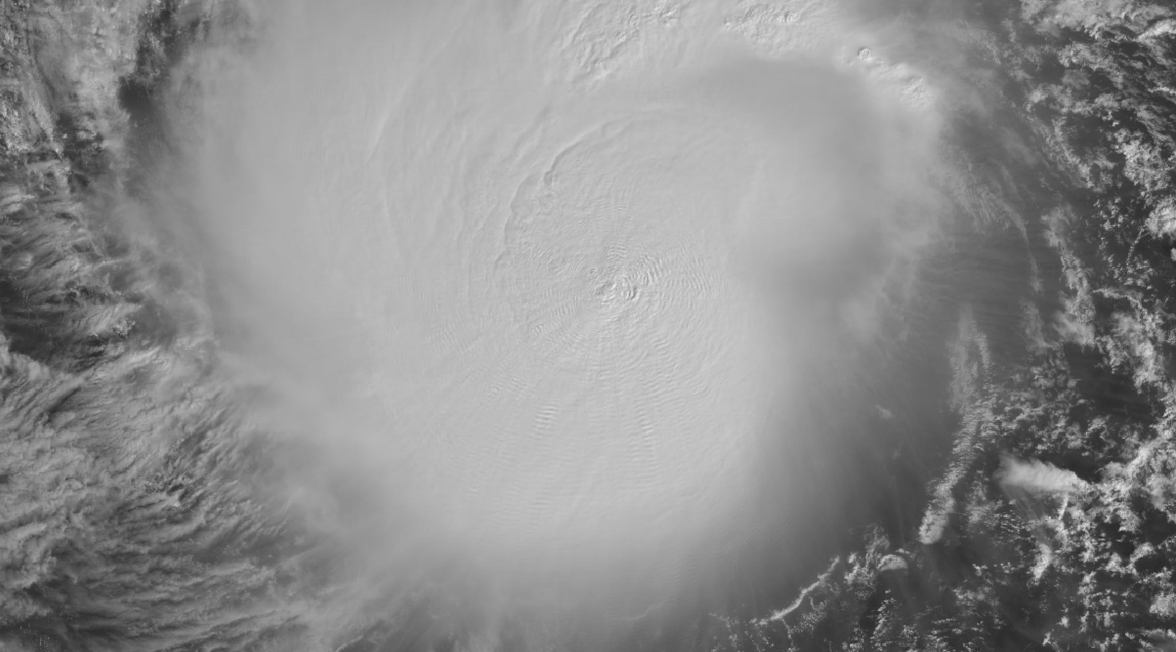
These towering storms even produced 'cloud-top gravity waves' that could be seen travelling away from the thunderstorms on the top surface of Kammuri's broad cloud mass.

Image: Himawari-8 visible satellite image showing cloud-top gravity waves travelling away from thunderstorms near the centre of Typhoon Kammuri. Source: NASA Worldview
Back in 1990, Tropical Cyclone Hilda produced a cloud top temperature of -102.2ºC to the east of Australia. This storm is also likely to have pushed well into the stratosphere, reaching an estimated height of 19.2km above sea level.
Cloud top heights are a useful indicator of a thunderstorm's behaviour. If the cloud top height is increasing, it means the thunderstorm is still growing and gaining strength. If a cloud top is falling, it usually means the storm has passed its peak and has begun to weaken. The height of the cloud top also correlates with rainfall intensity, with higher tops causing heavier rain.