Chance of snow in northern NSW as winter hits back
A burst of wintry weather will spread across NSW on Friday and Saturday, with snow possible on the state’s central and northern ranges.
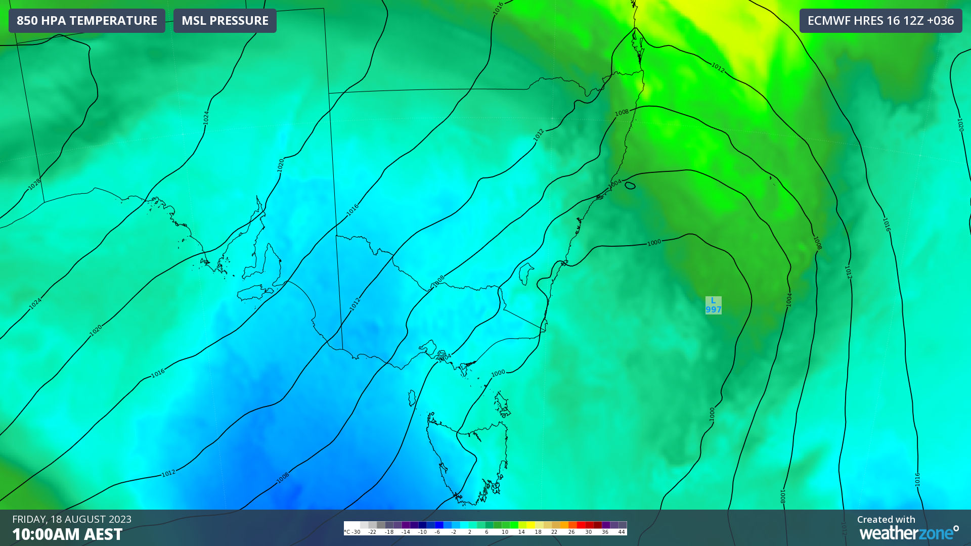
A polar air mass being dragged away from the Southern Ocean by a strong cold front will spread over NSW on Friday and Saturday.
After a run of unusually warm and settled weather in NSW during July, this frigid air mass will deliver some of the coldest weather so far this season.

Image: Cold air over southeastern Australia on Friday morning.
Showers will affect most districts of NSW on Thursday into Friday, ahead of and with the passage of the cold front. In addition to this rain, westerly wind will also increase across the state on Friday.
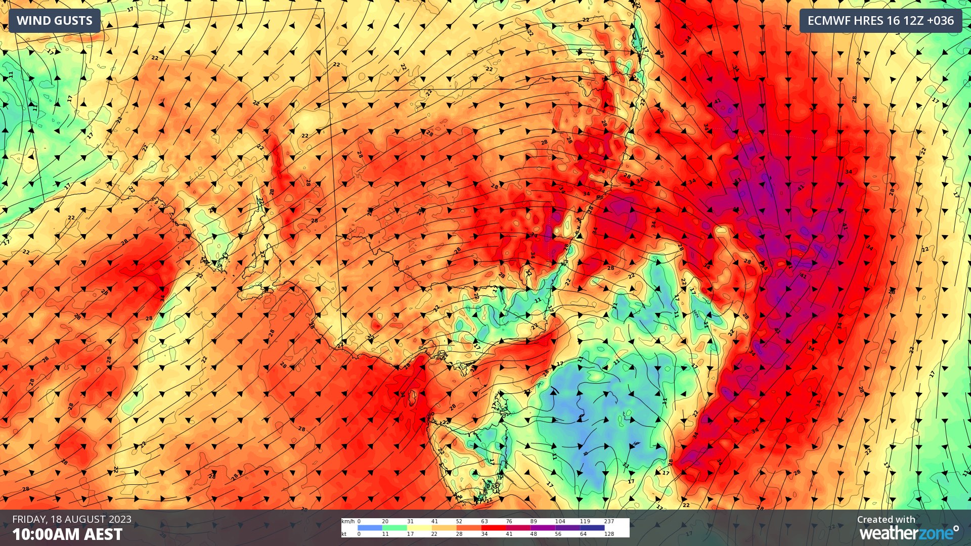
Wind gusts should reach 70 to 80km/h along some exposed parts of the coast and ranges in NSW on Friday, with isolated damaging wind gusts exceeding 90km/h possible. Strong Wind and Gale warnings have also been issued for the state’s coastal waters on Friday.

Image: Forecast wind gusts at 10am AEST on Friday, August 18.
Some of the rain will fall as snow over the next couple of days. Unlike most other frontal systems so far this winter, this one should push far enough north to deliver snow-bearing air well outside the Alps.
Snow should reach down to about 900 to 1000 m elevation in southern and central NSW on Friday into Saturday morning. A few flakes may even settle above about 1000 m in the state’s north, most likely on Friday night or Saturday morning.
This system will be good news for the snow-starved Alps and will offer a glimmer of hope for snow-lovers in northern NSW that have gone without any flakes so far this season.
Be sure to stay up to date with the latest forecasts and weather warnings in NSW over the next 48 hours.