Australia's 2nd tropical cyclone of the season could form this week
A low pressure system located over the eastern Indian Ocean could soon become the second tropical cyclone to form in Australia's area of responsibility so far this season.
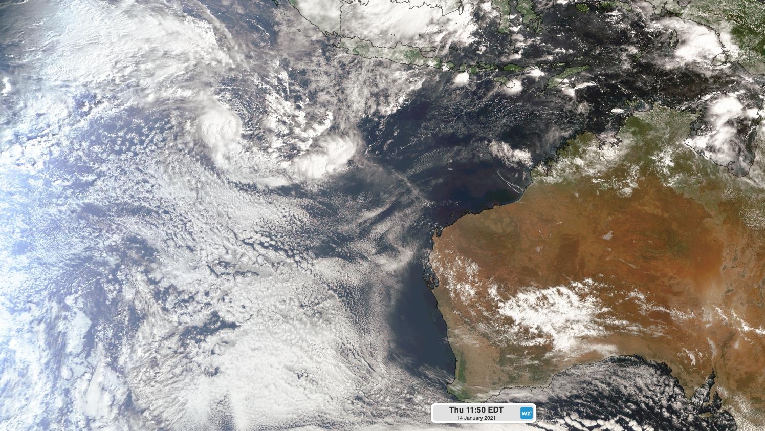
As the sun rose on Thursday morning, a tropical low was passing close to the Cocos (Keeling) Islands. While the system hasn't been strong enough to cause damaging winds on the island, a weather station at Cocos Island Airport received around 100mm of rain during the 24 hours to 9am on Thursday.

Image: Visible satellite image of a tropical low pressure system near the Cocos (Keeling) Islands on Thursday morning.
After soaking the Cocos Islands, the low pressure system is likely to move towards the southwest during the next several days. This path will take it through a region that's favourable for its intensification, with warm sea surface temperatures and relatively low wind shear (change in wind speed and direction with height).
There is good agreement between forecast models that the low will gain strength as it moves towards the southwest, possibly becoming a tropical cyclone on Friday or Saturday.
The Bureau of Meteorology gives the system a 20-50 percent chance of reaching tropical cyclone strength from Friday.

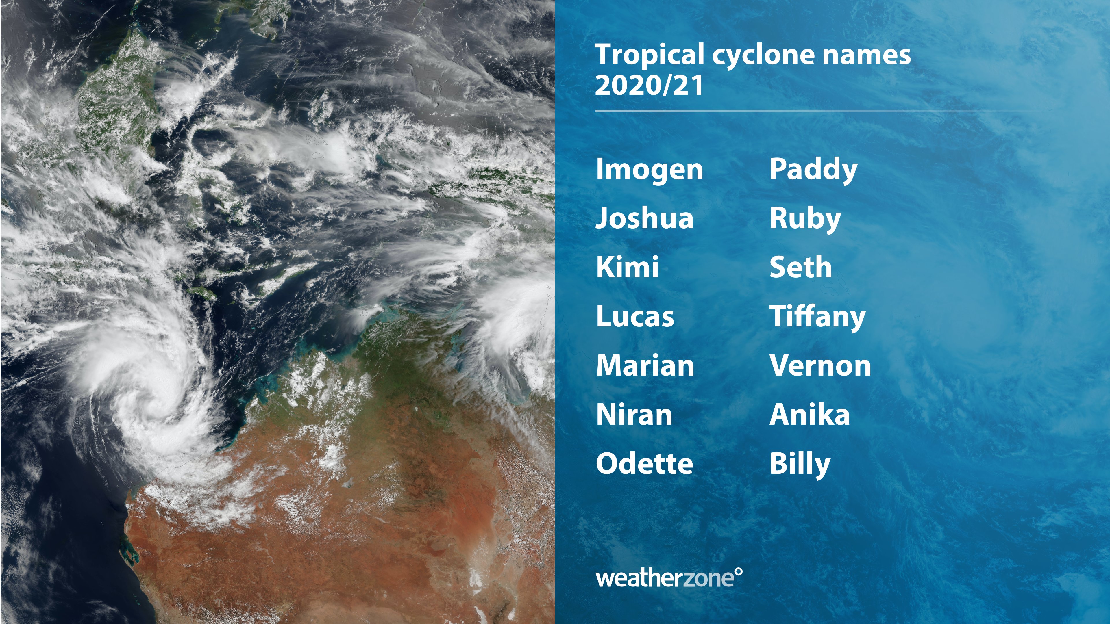
Image: List of names to be used for tropical cyclones that form in Australia's area of responsibility.
If the low does become a tropical cyclone before moving outside Australia's area of responsibility, it will be named Joshua. Fortunately, it's not likely to have a direct impact on the Australian mainland.
This would be the second tropical cyclone to form in the Australian region so far this season, following Imogen over the Gulf of Carpentaria earlier this month.