
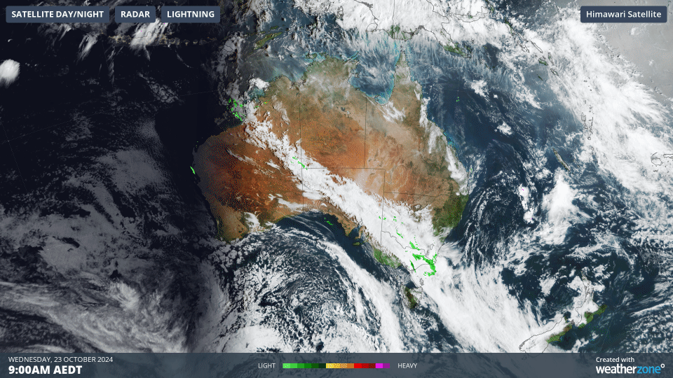
6000-km cloudband from the Kimberley to NZ
A northwest cloudband is streaming across Australia this Wednesday like a giant sash, extending from tropical northwest WA to the frigid Southern Ocean southwest of New Zealand.
While the cloudband makes for a dramatic satellite image, there’s not actually a whole lot of rain associated with this particular broad-scale meteorological feature.
What is a northwest cloudband?
- Northwest cloudbands are vast layers of cloud that flow over Australia from (you guessed it!) the northwest
- Once fully developed, they stretch across the country and often well into the Tasman Sea and beyond.
- Northwest cloudbands form when humid and warm tropical air over the Indian Ocean moves towards the southeast. As this warm and humid air moves further south, it rises over cooler air in the mid-latitudes and produces clouds.
But not all northwest cloudbands are the same. Some produce a lot of rain, others not so much or barely any at all.
This Wednesday’s northwest cloudband is one of the mostly dry ones. If you add radar imagery to the raw satellite image, the green blobs of precipitation are few and far between.
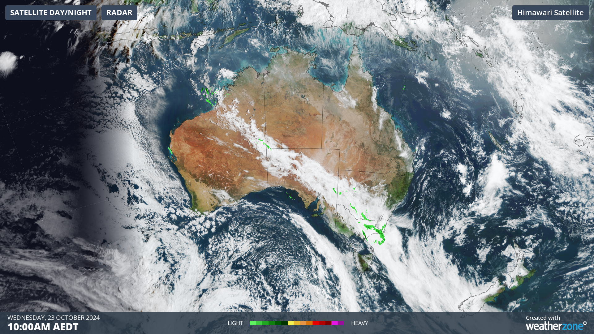
Overnight, parts of WA, SA Victoria and southwest NSW received a sprinkle from the cloudband but no weather station registered more than a few millimetres.
It's expected to be a similar story today, with only light falls in the areas where the cloudband is passing overhead.
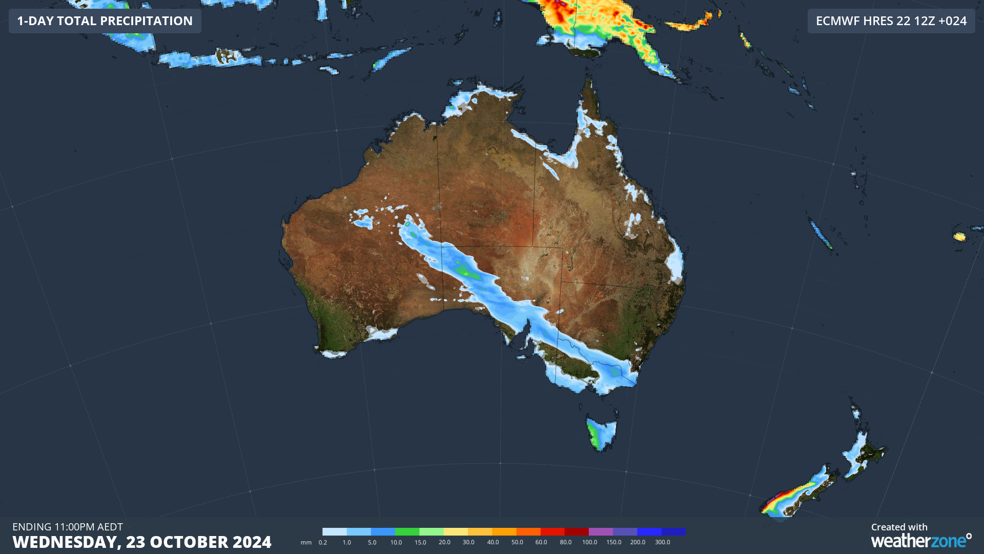
Image: The areas where precipitation is possible on Wednesday closely resemble the shape of the cloudband, though falls are expected to be light (indicated by the blue colour meaning 10mm or less).
Why so dry?
The reason this particular northwest cloudband isn't causing much rain is that the cloud is located in the mid to high levels of the atmosphere. This means it doesn't contain as much moisture as lower-level clouds.
Also it’s fairly warm and dry near the surface, so some of the rain is evaporating before it hits the ground. There's a term for rain that never makes it to the ground, and that's "virga".
We've written about virga before here on the Weatherzone news feed, and if you’re wondering what it looks like, here’s a picture from Canberra back in 2021.
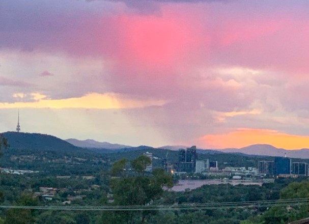
Image: Virga is quite common over Canberra in summer when storms form near the mountains but the rain evaporates quickly in much hotter air above the city’s outer western suburbs. Source: Tim the Yowie Man.