One metre of rain soaks central QLD
Rivers are flowing ferociously in central eastern Qld today after receiving more than 1000 mm of rain over the last five days.
A slow-moving low pressure system and associated trough have caused a prolonged period of heavy rain and thunderstorms over Qld’s central coast and ranges during the past week.
The animation below shows persistent rain and clouds being driven over central eastern Qld during the last 72 hours, which has so far been the wettest period of this event.
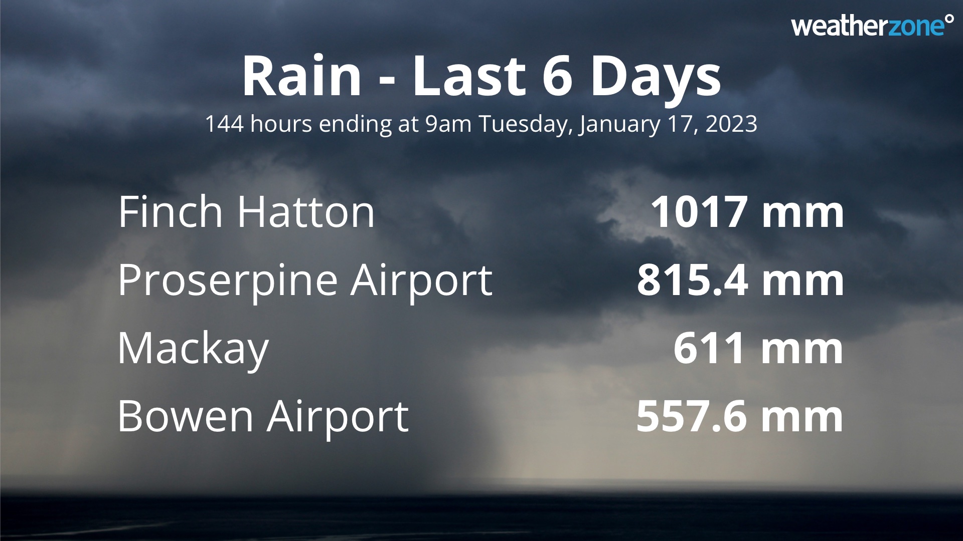
A rain gauge at Finch Hatton, located on the Pioneer River to the west of Mackay, received 1017 mm of rain during the 6 days ending at 9am on Tuesday, January 17. This included 791 mm in the last 72 hours of this period.
The Proserpine area has also been hit hard by rain, with Proserpine Airport collecting 815.4 mm during the 6 days ending at 9am on Tuesday. This is close to three months’ worth of rain and its wettest 6-day period in 32 years. Impressively, Proserpine is already having its wettest January since 1974.
Mackay and Bowen have both picked up more than half a metre of rain so far in this event as well. For Mackay, this is the heaviest 6-day rainfall in 15 years.

This deluge has produced moderate to major flooding in some areas of central Qld, including the Pioneer River to the west of Mackay.
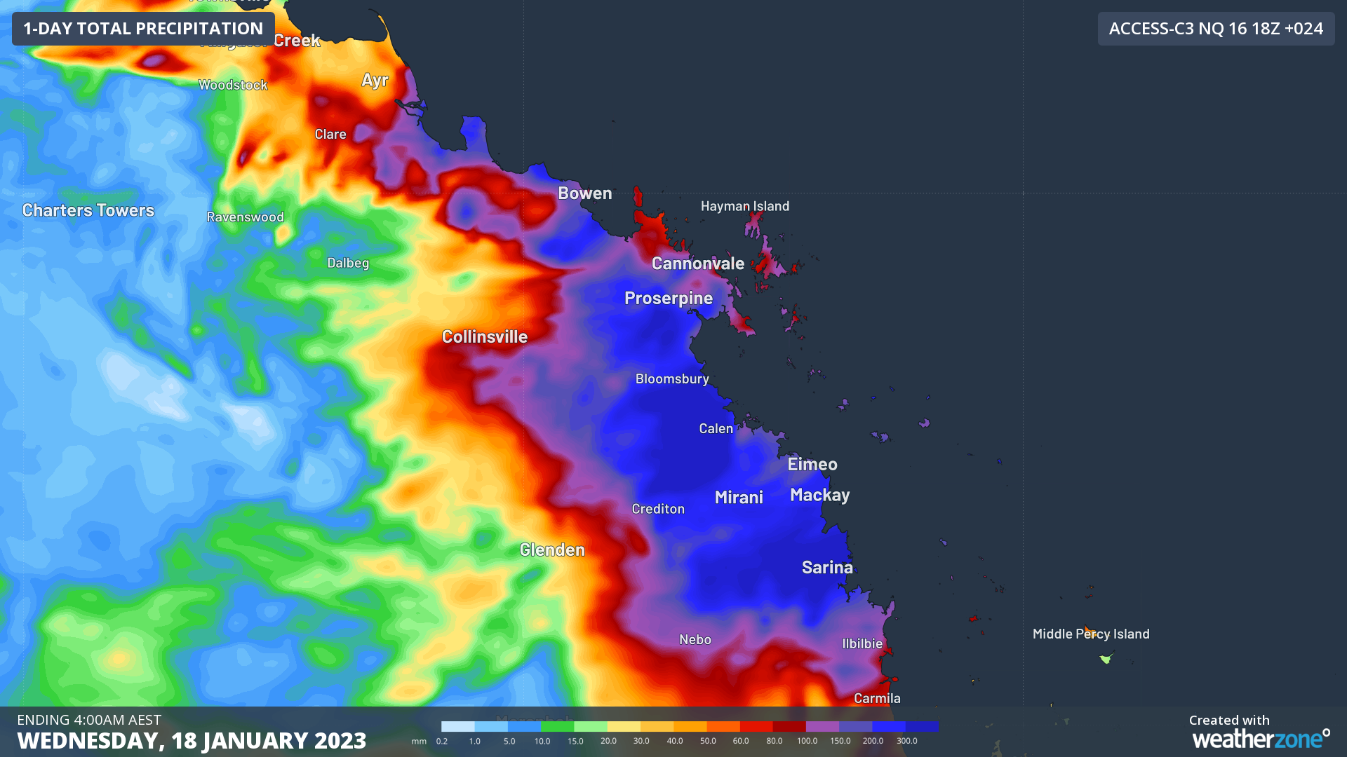
More heavy rain is likely to fall in the region today, with some forecast models suggesting that another 200 to 400 mm could fall throughout Tuesday. Rain should ease from Wednesday as the low pressure system finally moves away from the coast.

Image: Forecast accumulated rain during the 24 hours ending at 4am AEST on Wednesday, January 18, 2023.
As of 11am AEST on Tuesday, a severe weather warning, flood watch and numerous flood warnings were in place along the coast and ranges in central Qld. Be sure to check the latest warnings for the most up to date information on this event.