
Heat and extreme fire danger impacting WA over the weekend
The heat is being turned up for places like Perth and Bunbury today and tomorrow after a somewhat milder day yesterday. At 10:10 am WST the thermometer had already pushed up to 32°C at Perth and 28.7°C at Bunbury. Both are expected to reach tops of 38°C during today.
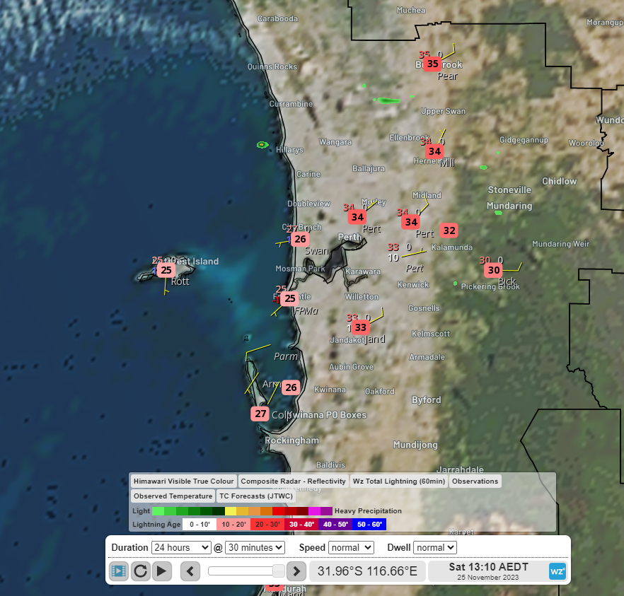
Image: Himawari-9 visible satellite imagery and temperature at 10:10 am WST Saturday 25th
The position of the heat trough over WA is directing hot, dry and gusty winds from inland over WA’s southwest, which is leading to extreme fire danger for Lower West Inland, Geographe and Brockman fire weather districts.
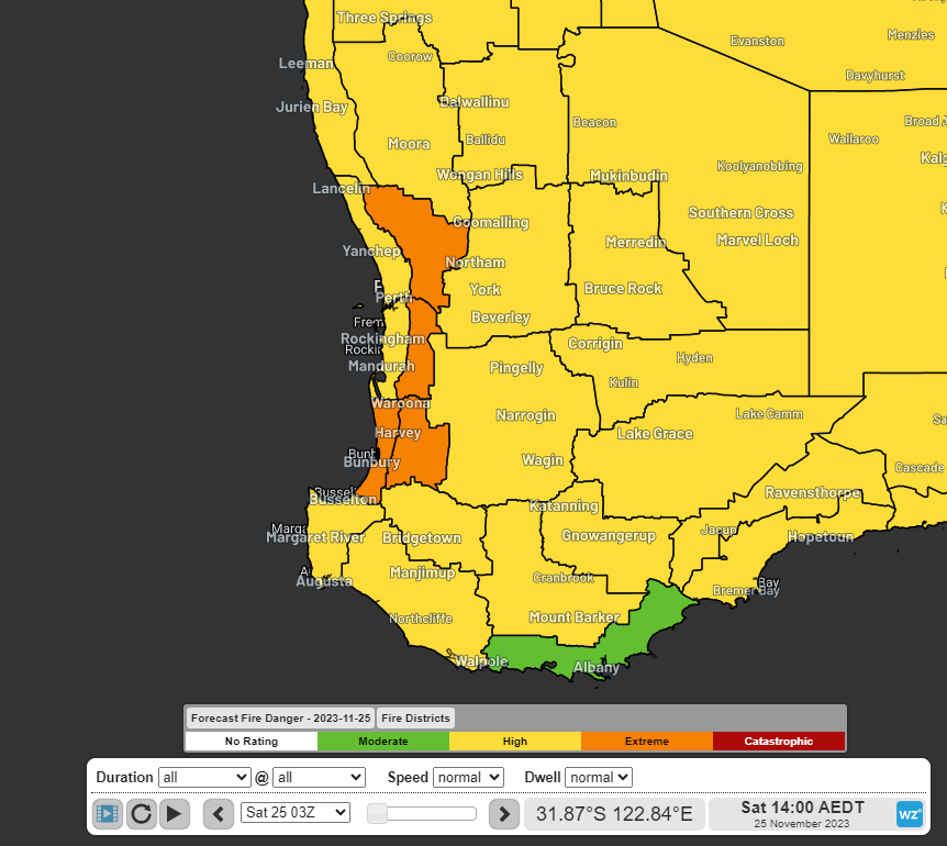
Image: Bureau of Meteorology fire danger rating for Saturday 25th
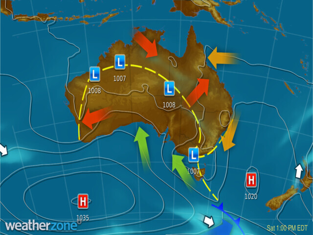
Image: Weatherzone synoptic chart for 10am WST Saturday 25th
Tomorrow, the heat trough will continue to cause another day of high temperatures, gusty winds and extreme fire danger. In addition, the winds blowing from the east over the Darling Escarpment will become stronger tonight into tomorrow morning and may cause damage. The Bureau has issued a warning for damaging winds.
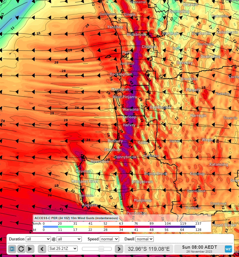
Image: Near surface wind gusts at 5am WST Sunday 26th according to the ACCESS-C Perth model
Be sure to stay up to date with the latest warnings at weatherzone.com.au/warnings