Remarkable rain rates in southeast Queensland
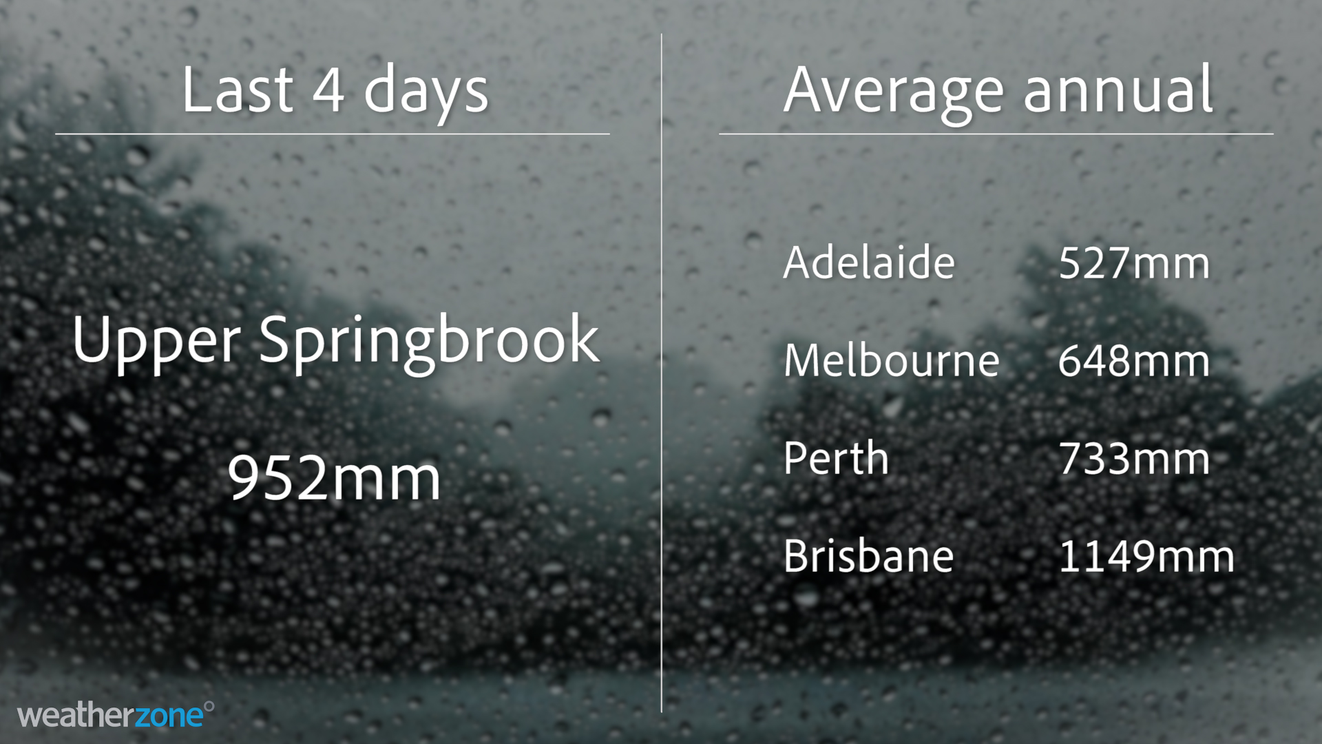
A rain gauge in southeast Queensland has received more rain during the last four days than Melbourne, Adelaide or Perth typically see during an entire year.
Upper Springbrook, located in the mountainous hinterland to the west of the Gold Coast, received 952mm of rain during the 96 hours to 9am on Tuesday.
This figure included 475mm during the 24 hours to 9am on Saturday and over 200mm for each of the following two 24 hour periods.
To put this rain into perspective for other parts of Australia, it’s more than Perth (733mm), Melbourne (648mm), Canberra (615mm), Hobart (612mm) or Adelaide (527mm) typically receive during an entire year.

Image: Comparing Upper Springbrook's four-day rainfall total to the annual averages in some Australian capital cities.
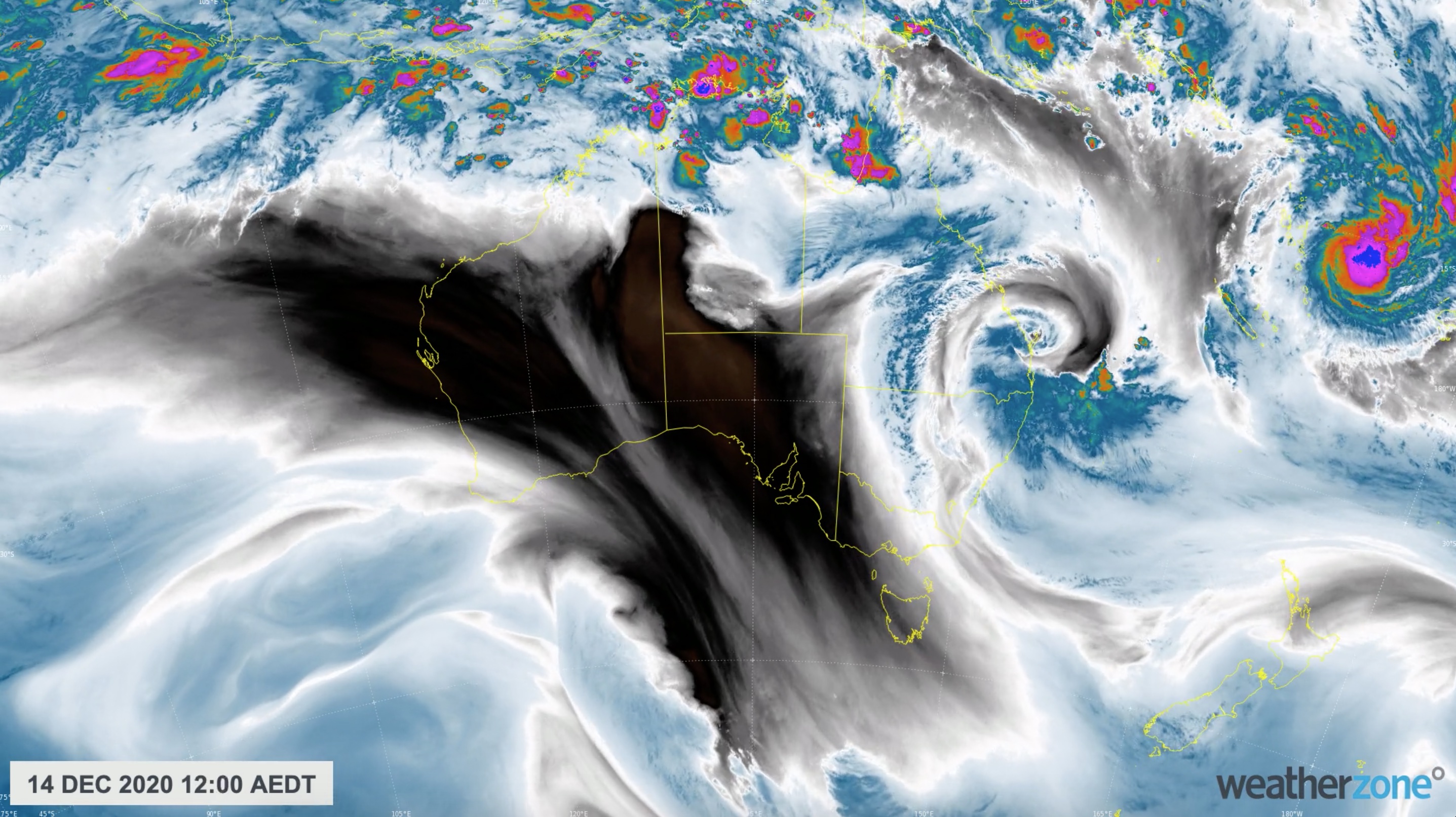
This multi-day deluge was caused by a near-stationary upper-level low pressure system driving tropical moisture into southeastern Queensland and northeast NSW during the last four days.
Unsurprisingly, the rain has caused rivers to bulge and in some areas overflow, resulting in numerous flood watches and flood warnings across the region.

Image: Enhanced water vapour satellite image showing abundant tropical moisture wrapping around an upper-level low pressure system near southeast Queensland.
As of midday AEDT on Tuesday, there was also a severe weather warning for heavy rain, damaging winds, abnormally high tides and damaging surf over northeast NSW, to the north of about Taree.